AERIAL NOW / Archive
Browse Aerial Photography
Construction, infrastructure and development aerial photography across Melbourne and Victoria.
40 images
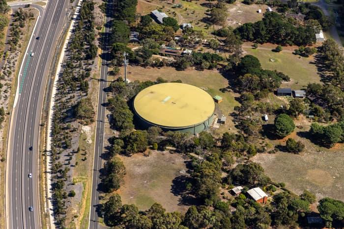
Water storage tank, Andersons Road Drysdale VIC
Drysdale VIC 3222
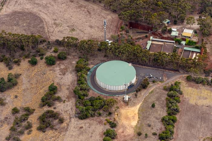
Mount Duneed water storage tank, Mount Duneed VIC
Mount Duneed VIC 3217
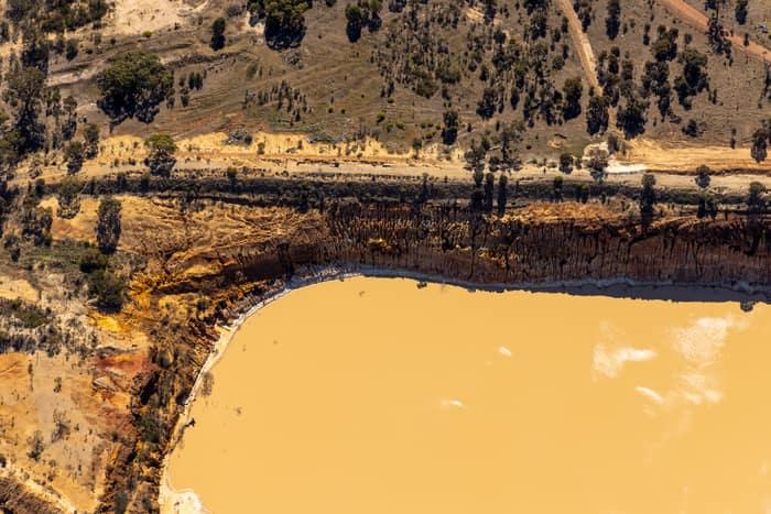
Water storage dam and earthworks, Melton VIC
Melton VIC 3337

Green-roofed storage units, Harristown QLD
Harristown QLD 4350

Apollo Bay township and harbour, Apollo Bay VIC
Apollo Bay VIC 3233
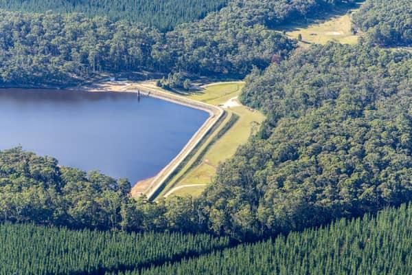
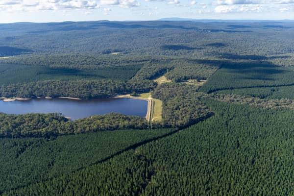
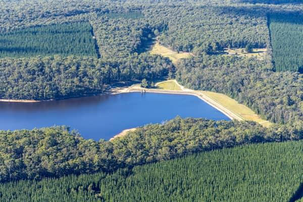
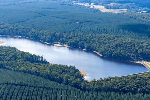
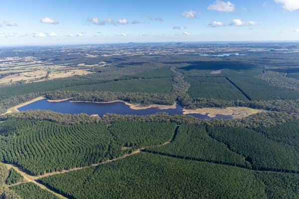
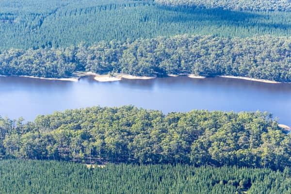
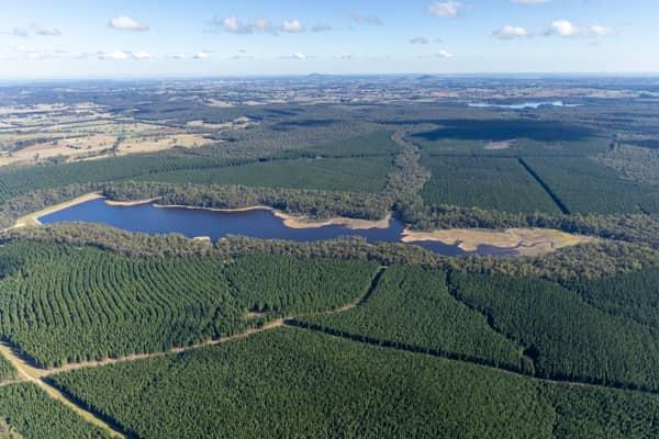
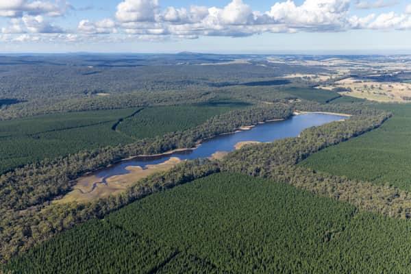
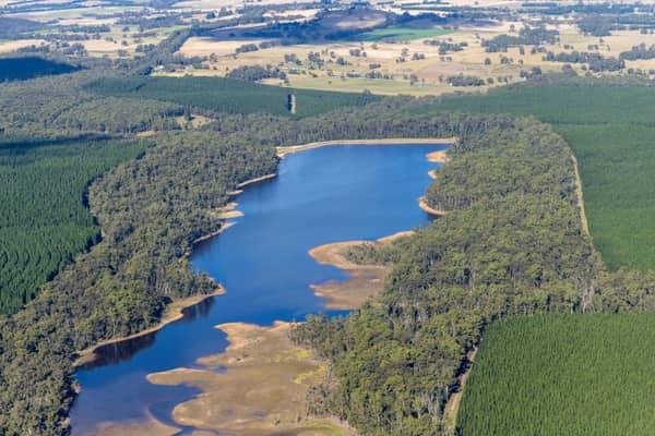
Bostock Reservoir amid pine plantations, Spargo Creek VIC
Spargo Creek VIC 3461
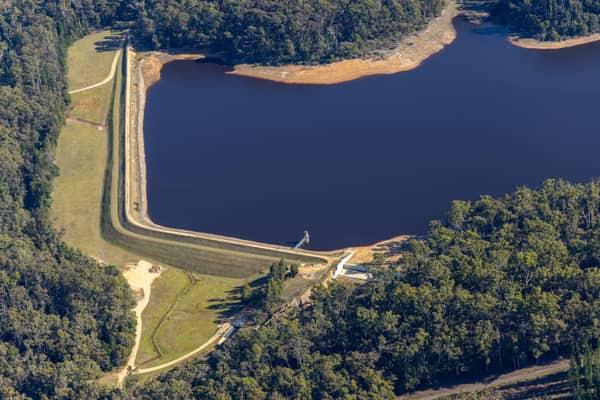
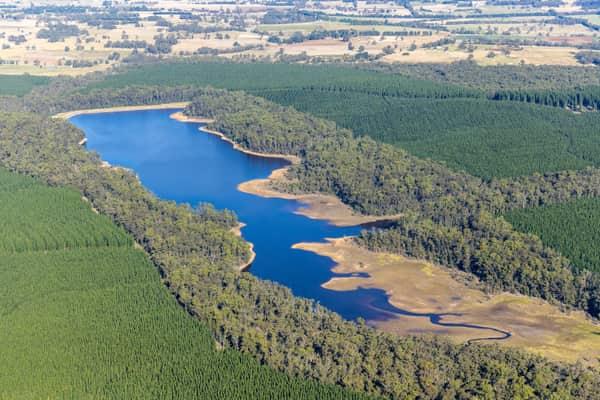
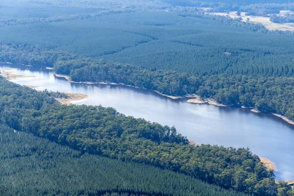
Bostock Reservoir shoreline and embankment, Spargo Creek VIC
Spargo Creek VIC 3461
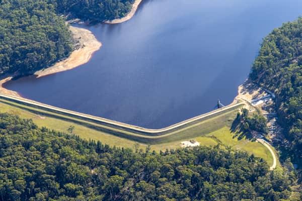
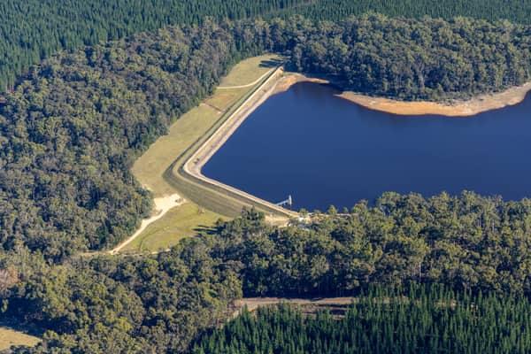
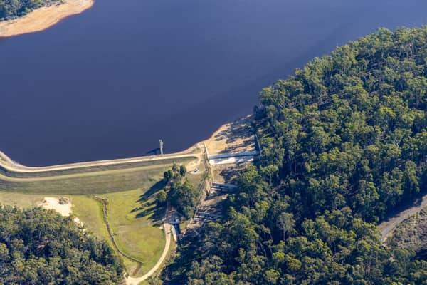
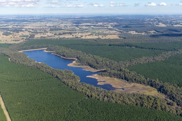
Bostock Reservoir embankment and shoreline, Spargo Creek VIC
Spargo Creek VIC 3461
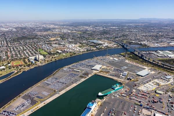
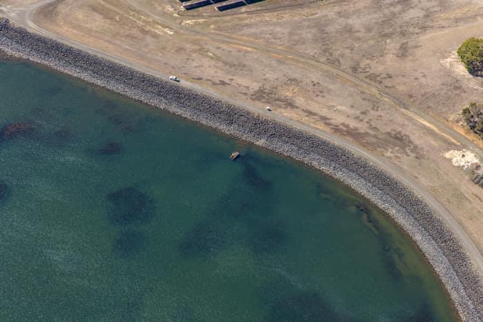
Wurdee Boluc Reservoir shoreline, Wurdiboluc VIC
Wurdiboluc VIC 3241
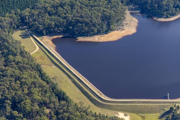
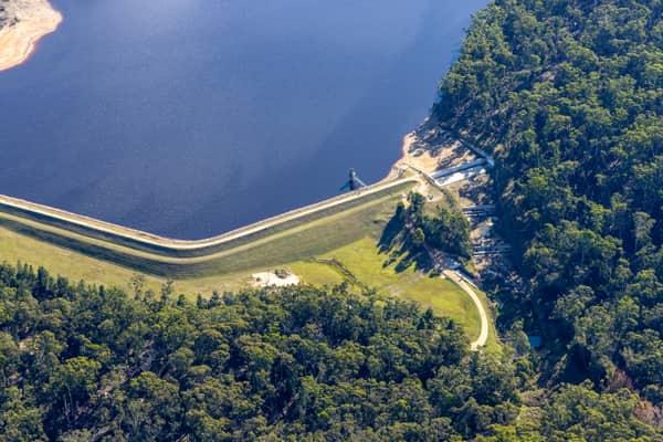
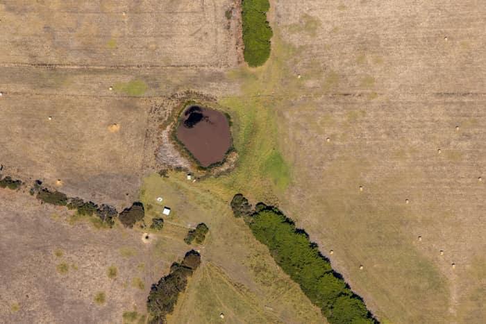
Farm dam and dry pasture, Princetown VIC
Princetown VIC 3269
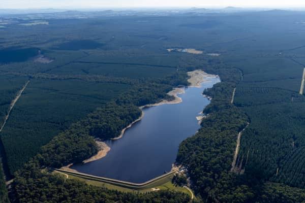
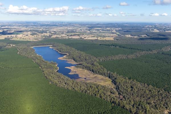
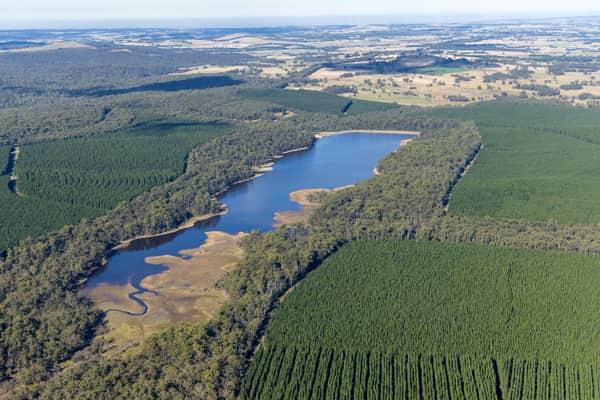
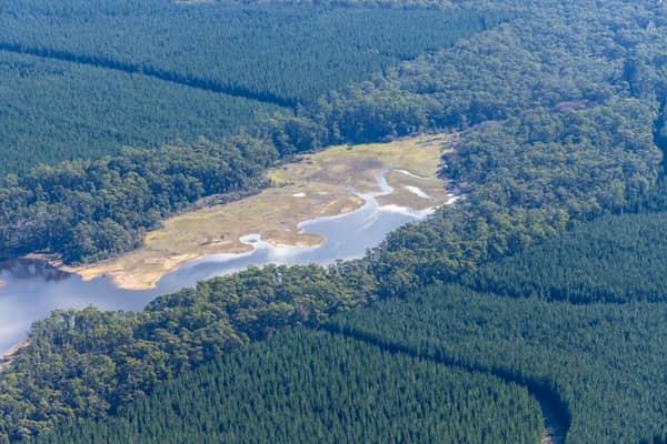
Bostock Reservoir inlet and plantations, Spargo Creek VIC
Spargo Creek VIC 3461
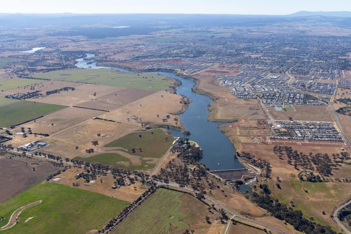
Melton Reservoir and Werribee River, Melton VIC
Melton VIC 3337

GrainCorp Moree grain terminal, Moree NSW
Moree NSW 2400
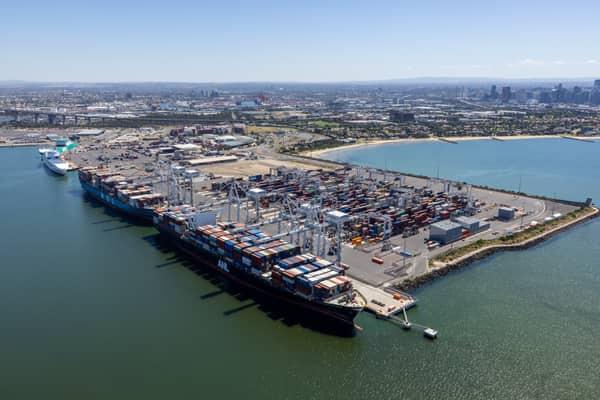
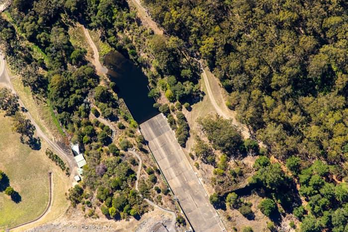
West Barwon Reservoir inlet and bushland, Forrest VIC
Forrest VIC 3236
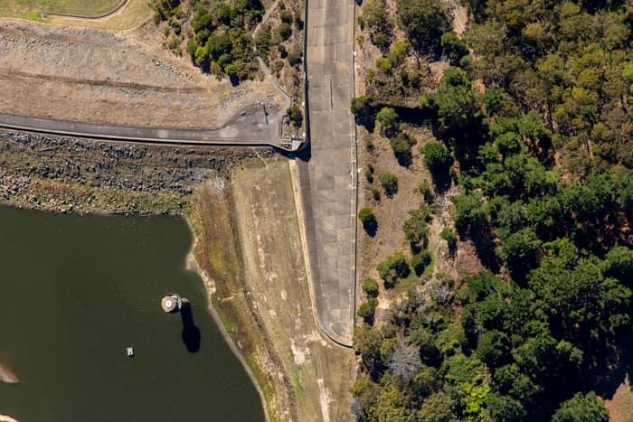
West Barwon Reservoir dam wall, Forrest VIC
Forrest VIC 3236

Farm dam and farmland, Bannockburn VIC
Bannockburn VIC 3331
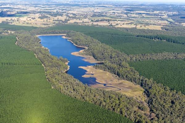
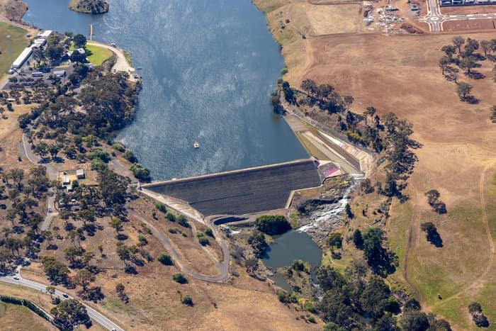
Melton Reservoir dam wall, Melton VIC
Melton VIC 3337