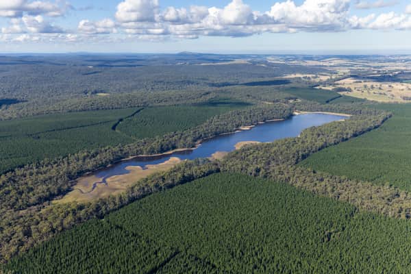
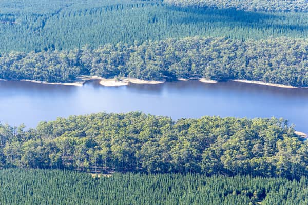
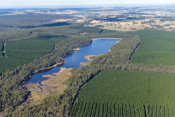
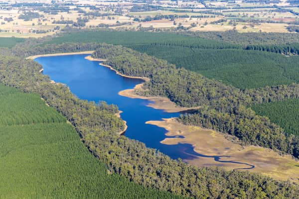
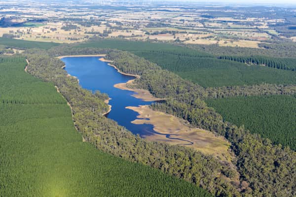
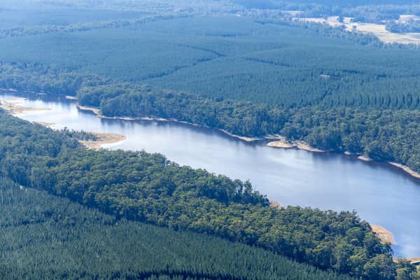
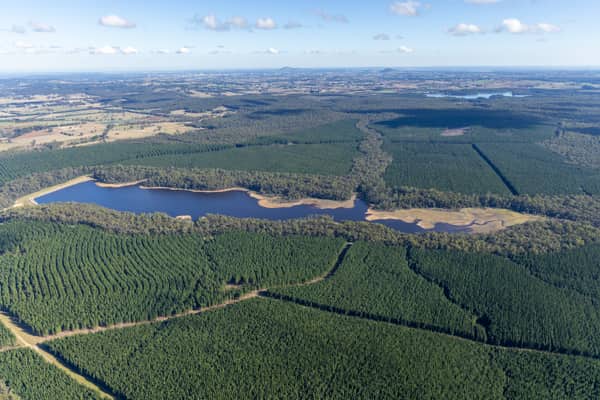
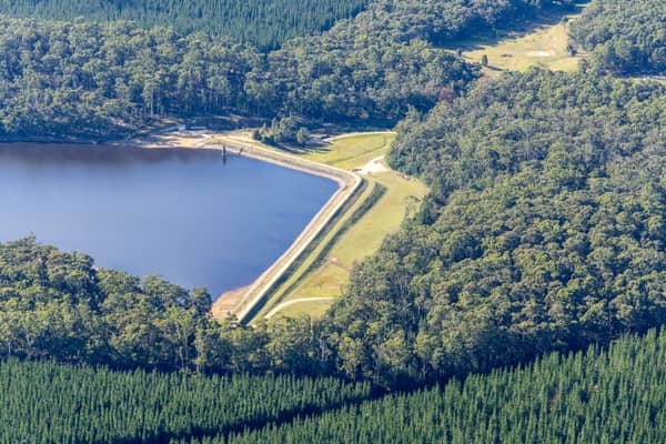
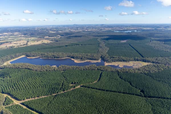
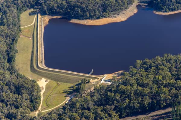
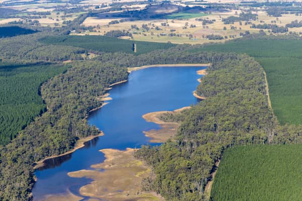
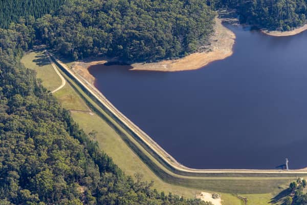
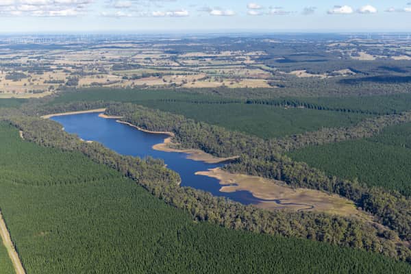
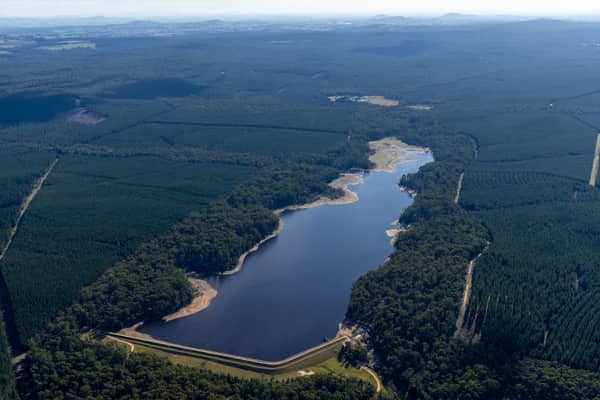
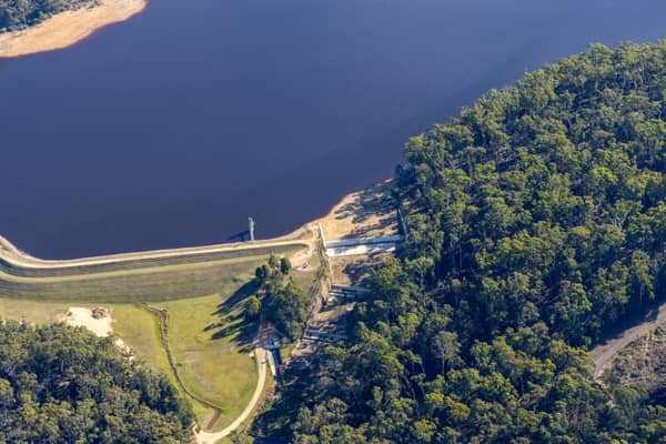
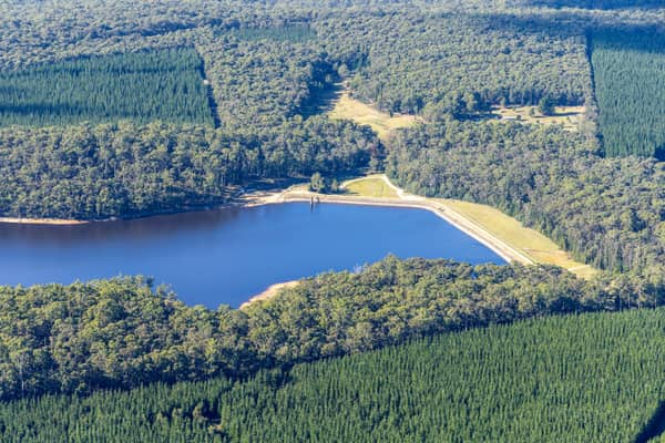
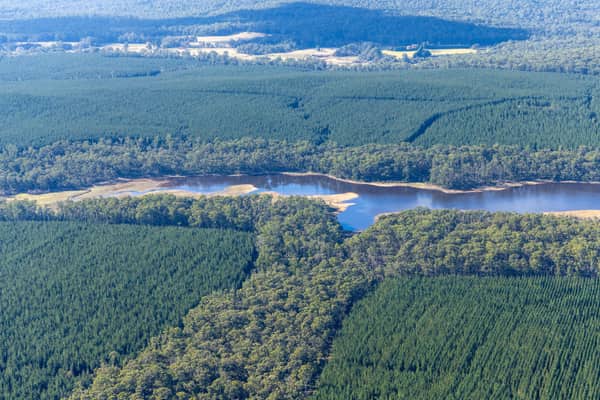
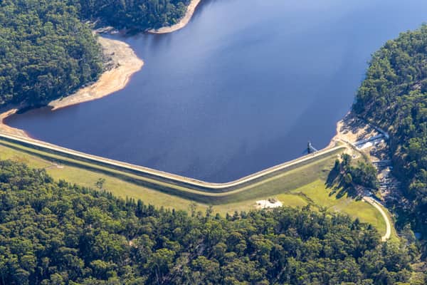
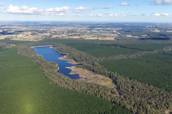
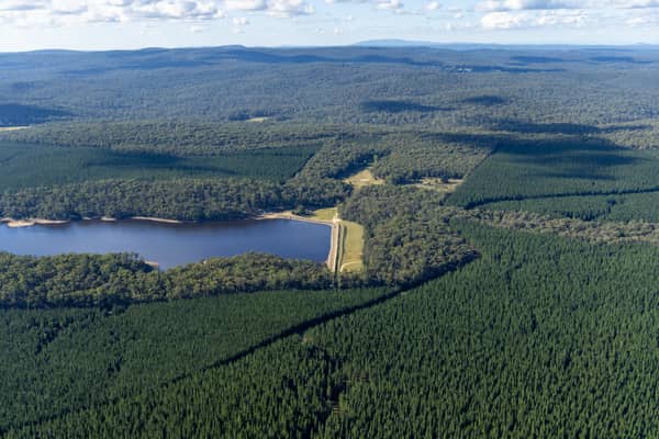
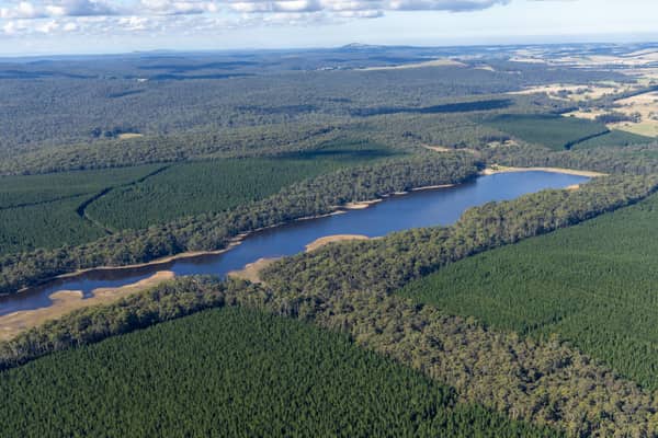
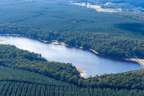
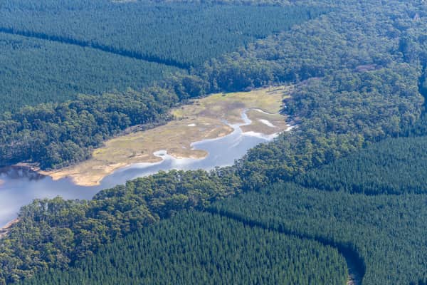
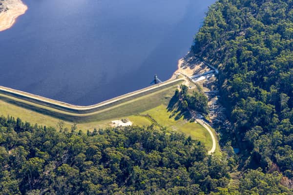
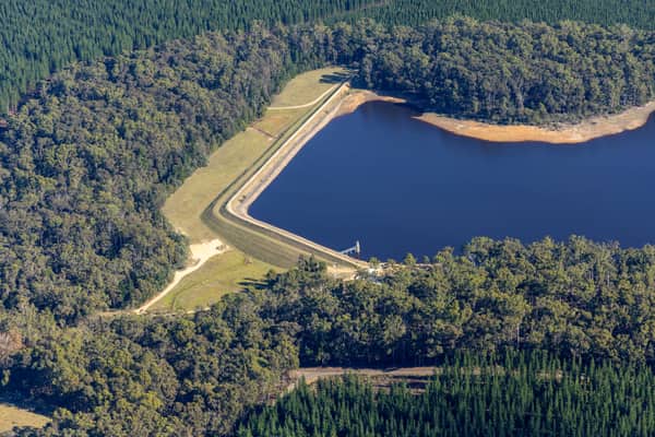
Aerial Now imagery showing Bostock Reservoir near Spargo Creek, Bolwarrah, Bunding and Barkstead, including reservoir shoreline, rural access roads, water storage infrastructure and surrounding landscape.
Captured two days after the main 23 May 2022 set, this image extends the same visual record of Bostock Reservoir and nearby rural infrastructure. Public sources confirm the reservoir's place within the Barwon Water storage area, but not an exact publicly archived storage level for the day.
Captured in late May 2022, this main Bostock Reservoir shoot records the shoreline, exposed margins, access roads and surrounding rural landscape. No official storage-level reading is available for this date, so the visible waterline and shoreline condition should be read as a visual record rather than a measured reservoir level.
Water infrastructure and regional landscape aerial photography
Locations
Barkstead, Spargo Creek, Bolwarrah, Bunding
Project Packages
Licence this project as a curated image package
Project packages are quoted around the intended use, licence term and delivery needs. These starting points make it easier to choose the right level before requesting a quote.
Reservoir Reference Pack
From $595
A focused licensed image set showing Bostock Reservoir, its shoreline and surrounding rural context.
Best for
Reports, media reference and regional planning context
6-10 selected reservoir images
Web, presentation and report-ready files
Standard editorial or commercial licence options
Bostock Reservoir Project Collection
From $1,350
A broader licensed collection covering multiple reservoir angles and surrounding landscape details.
Best for
Water infrastructure, education, editorial and commercial reference
All suitable public images from the project
Images grouped by capture date and location
High-resolution delivery after usage approval
Custom Regional Infrastructure Licence
By quote
A tailored package for campaigns, publications, signage, stakeholder use or broader commercial distribution.
Best for
Campaigns, public reports and high-visibility use
Custom image selection
Usage, duration and territory matched to the project
Water infrastructure referenceEnvironmental and regional reportingPlanning and context imageryEditorial and media referenceCommercial licensing
Overview
This project archive brings together licensable aerial images of Bostock Reservoir and the surrounding rural landscape north-east of Ballarat. The collection is useful for water infrastructure reference, environmental reporting, regional planning, education, editorial use and commercial visual research.
Redevelopment Context
Bostock Reservoir is listed among the Barwon Water area storages in Victoria and sits in rural country around Spargo Creek, Bolwarrah, Bunding and Barkstead, north-east of Ballarat. Historic newspaper records on Trove show the reservoir was being planned by the Geelong Waterworks and Sewerage Trust in the 1920s, named in honour of T. E. Bostock, a former Mayor of Geelong who was credited with helping establish the Trust. By August 1926 the Trust had authorised construction near Ballan on the Eastern Moorabool River, with the reservoir described as a future-facing addition to Geelong's water supply. Later newspaper references from the 1950s mention tunnel works and an aerial photo-survey used to help establish reservoir content, giving this modern aerial archive a useful historical echo. No official day-specific storage percentage is available for these 2022 shoot dates, so water-level references on this page should be read as visual observations from the photographs rather than measured reservoir-level claims.