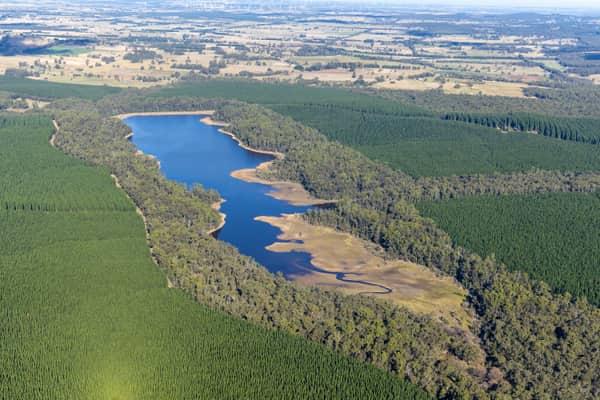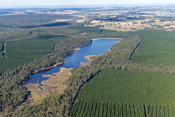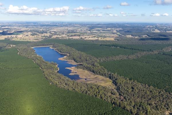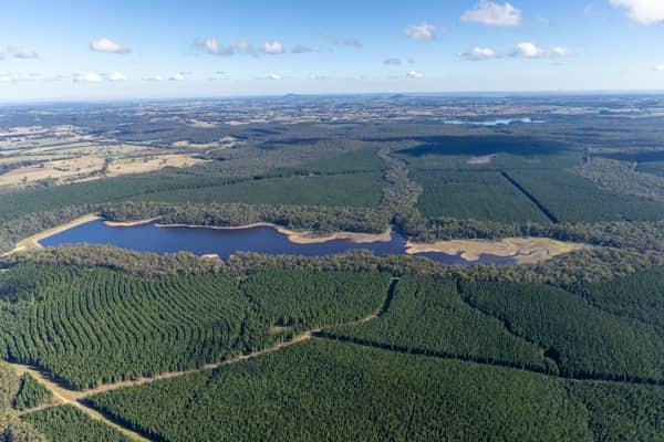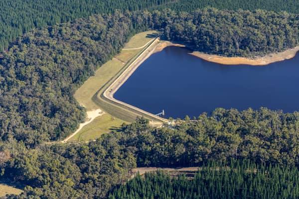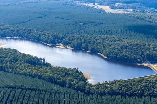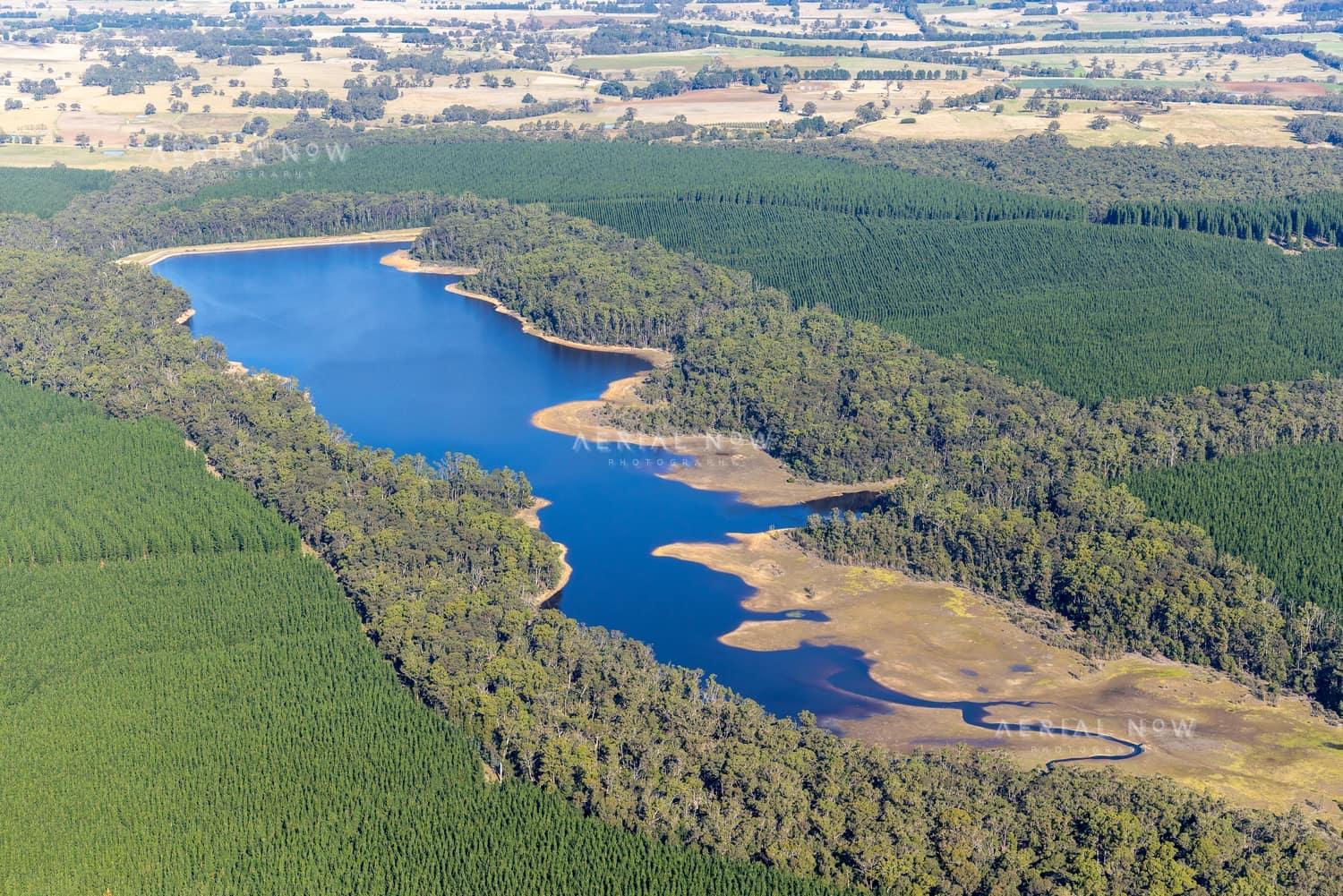
Bostock Reservoir shoreline and pine plantations, Spargo Creek VIC
- Location
- Spargo Creek, Moorabool Shire, VIC, 3461, AustraliaView Spargo Creek image collection →
- View Type
- Aerial
- Project
- Bostock ReservoirView project timeline →
- Capture Date
- 23 May 2022
- Description
- Captured on 23 May 2022, this aerial view shows Bostock Reservoir at Spargo Creek with receded shoreline areas, forested margins and surrounding plantation country. The image records the reservoir setting within the rural landscape north-east of Ballan in Victoria.
- Named Landmarks
- Bostock Reservoir
Verified subjects
Buy and download
For websites, social posts, presentations and smaller digital placements.
For infrastructure, construction, reports, brochures and commercial marketing.
For higher visibility campaigns, print runs, signage and broader distribution.
Image ID: bae94f08
Image Details
This high-resolution archive image captures an aerial view of Bostock Reservoir at Spargo Creek, with blue water, exposed shoreline, surrounding native bushland and pine plantations. The scene is located around Spargo Creek, Moorabool Shire, VIC, Australia. It was captured on 23 May 2022. Visible and searchable details include Bostock Reservoir, Spargo Creek, Victoria, VIC, reservoir aerial view, reservoir shoreline. These details document the photographed site and its surroundings at the recorded capture date.
At a Glance
- Image ID
- BAE94F08
- View Type
- Aerial
- Capture Date
- 23 May 2022
- Project
- Bostock Reservoir
- Location
- Spargo Creek, Moorabool Shire, VIC, 3461, Australia
- GPS
- -37.484570, 144.141205
Location Map
This image is geotagged around Spargo Creek, Moorabool Shire, VIC, 3461, Australia. It forms part of the Bostock Reservoir image collection. The map marker uses the embedded GPS position at -37.484570, 144.141205.
Photographer and Usage
Photograph by Aerial Now. This image is part of the Aerial Now archive and is available for commercial, editorial and project-related licensing. For construction progress, infrastructure documentation or a matching current aerial view, book a dedicated shoot through Aerial Now.
Related Images
More licensable imagery from related locations, projects and subjects.