
AERIAL NOW / Archive
Browse Aerial Photography
Construction, infrastructure and development aerial photography across Melbourne and Victoria.
41 images
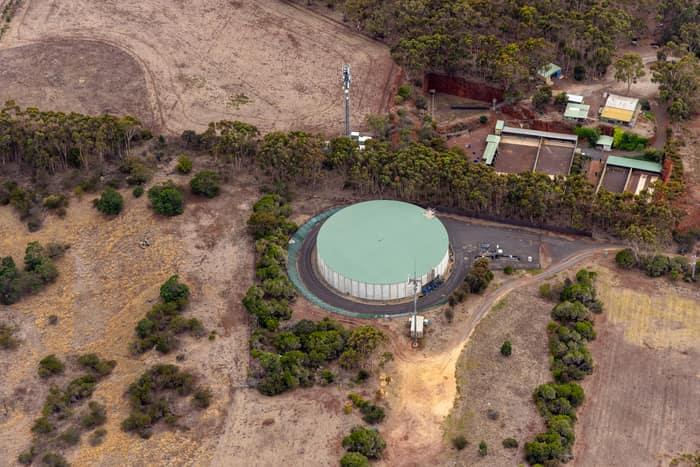
Mount Duneed water storage tank, Mount Duneed VIC
Mount Duneed VIC 3217
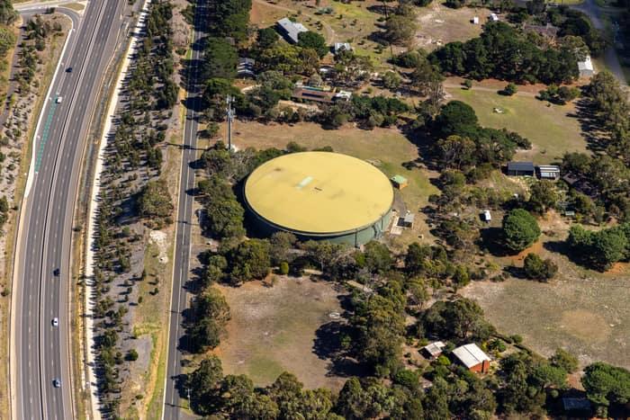
Water storage tank, Andersons Road Drysdale VIC
Drysdale VIC 3222
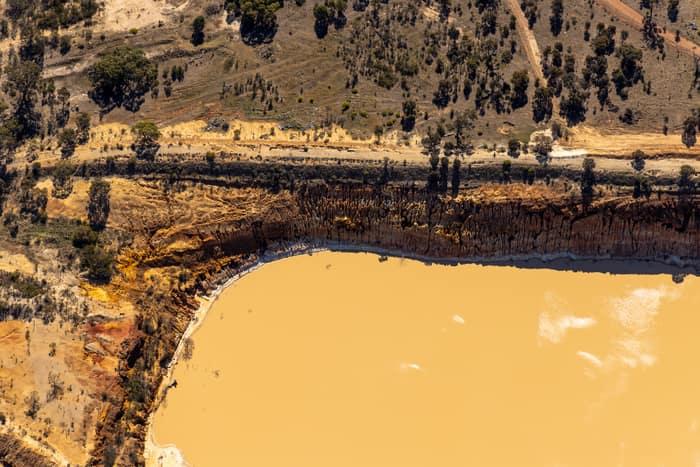
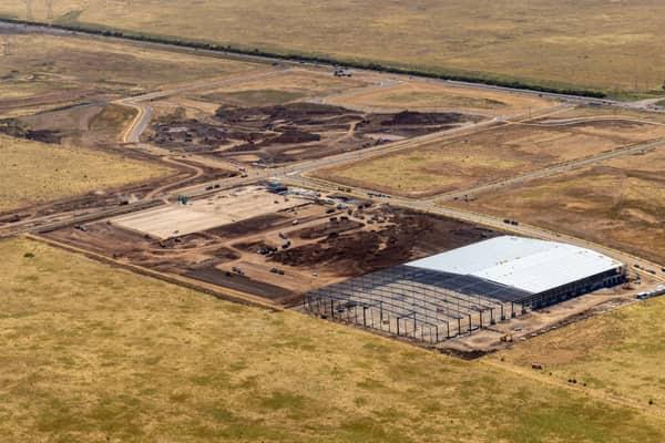
Water storage dam and earthworks, Melton VIC
Melton VIC 3337

Anglesea Water Reclamation Plant, Anglesea VIC
Anglesea VIC 3230

Fingal Head breakwater, Fingal Head NSW
Fingal Head NSW 2487
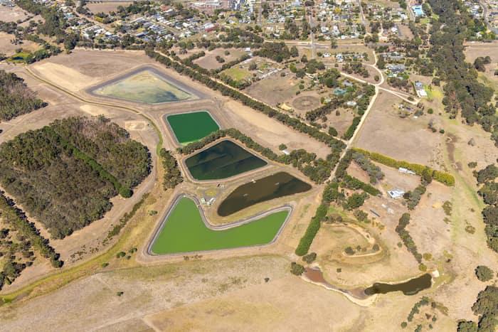
Wastewater treatment ponds, Winchelsea VIC
Winchelsea VIC 3241
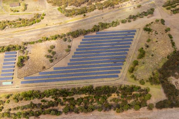
Black Rock Solar Farm arrays, Connewarre VIC
Connewarre VIC 3227
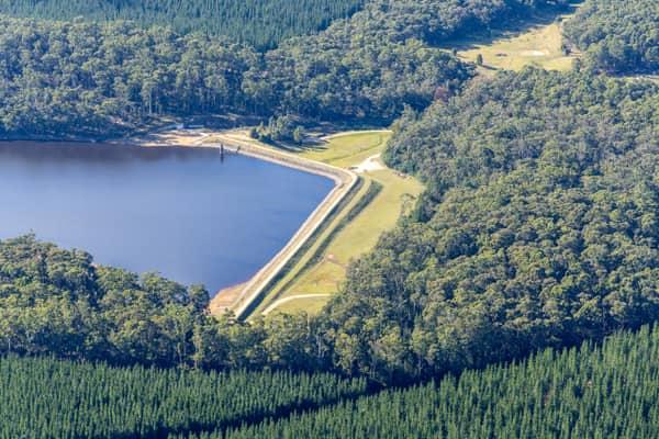
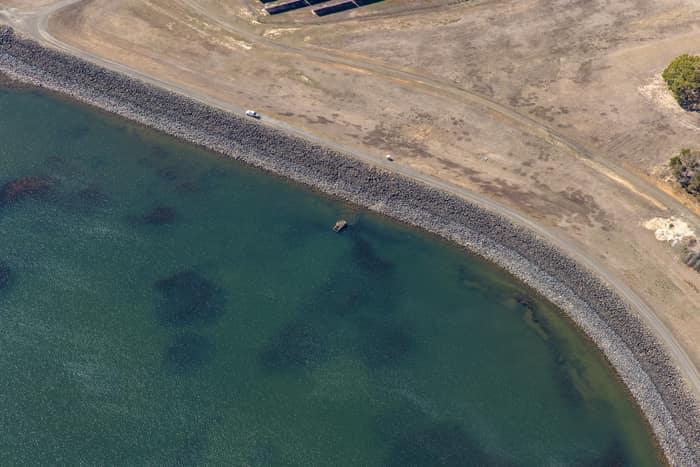
Wurdee Boluc Reservoir shoreline, Wurdiboluc VIC
Wurdiboluc VIC 3241
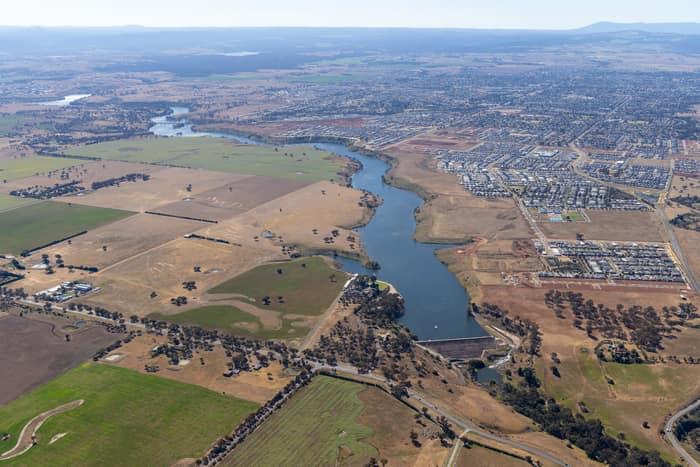
Melton Reservoir and Werribee River, Melton VIC
Melton VIC 3337
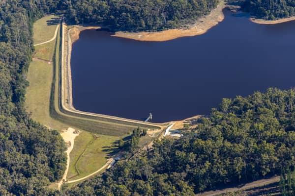
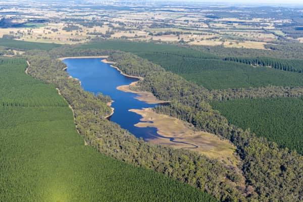
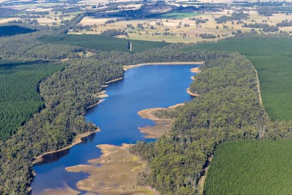
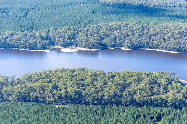
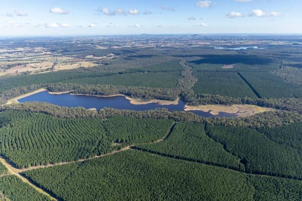
Bostock Reservoir shoreline and embankment, Spargo Creek VIC
Spargo Creek VIC 3461
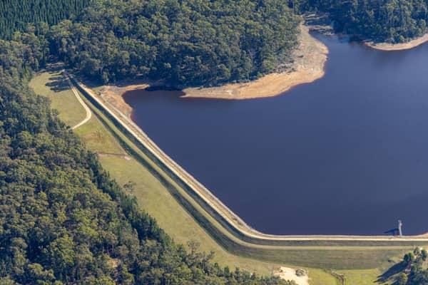
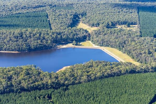
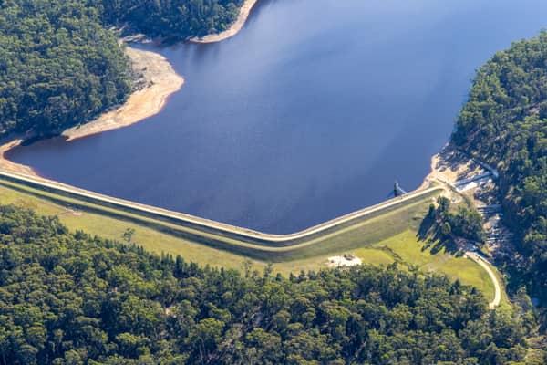
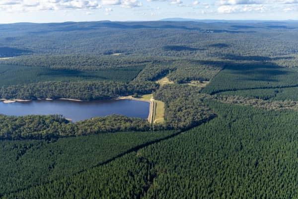
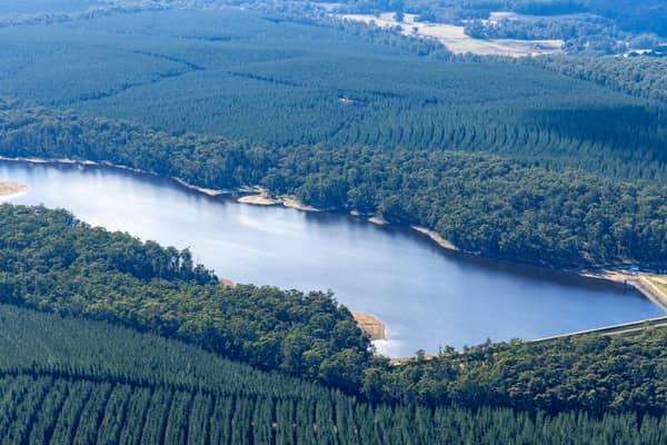
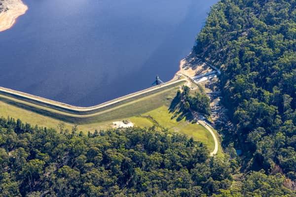
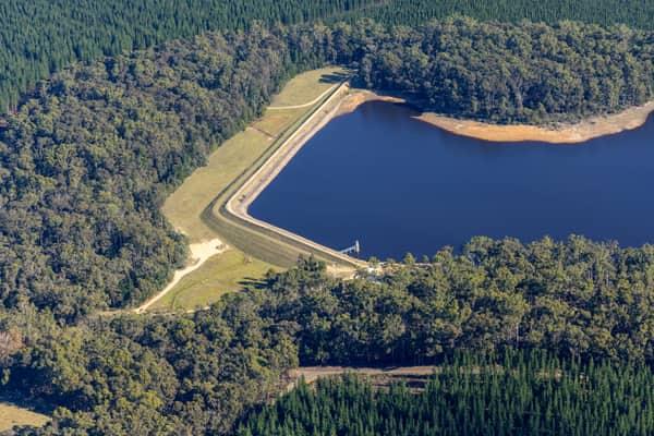
Bostock Reservoir embankment and shoreline, Spargo Creek VIC
Spargo Creek VIC 3461
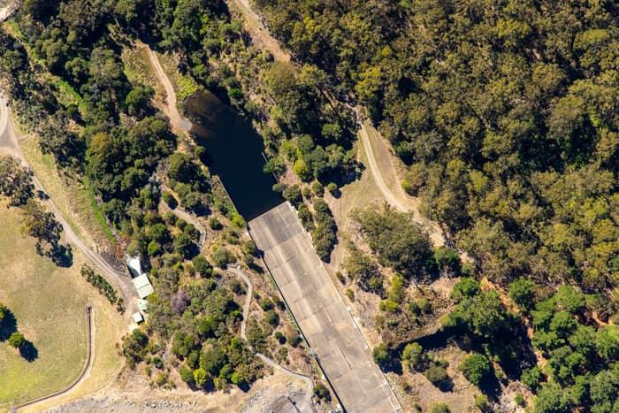
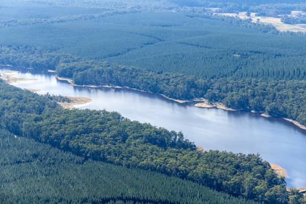
West Barwon Reservoir inlet and bushland, Forrest VIC
Forrest VIC 3236

Covered utility process tanks, Craigieburn VIC
Craigieburn VIC 3064

North East Link construction with road realignments, Heidelberg VIC
Heidelberg VIC 3084
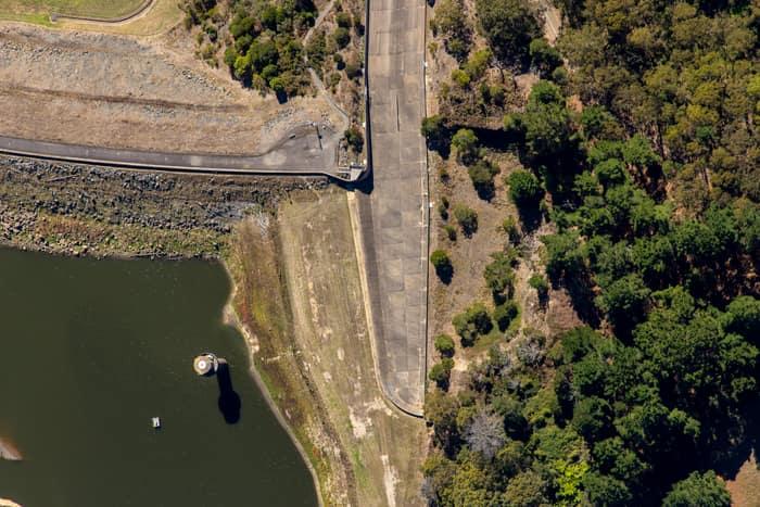
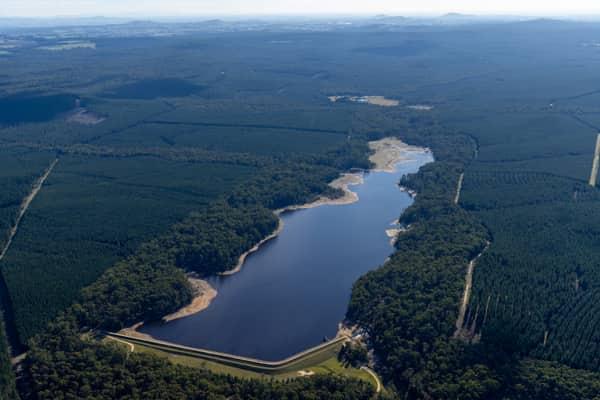
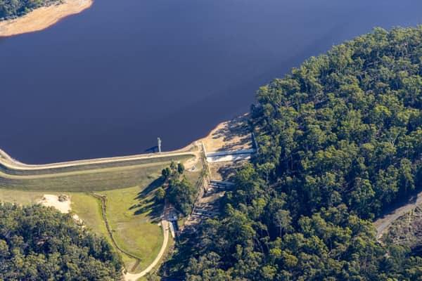
West Barwon Reservoir dam wall, Forrest VIC
Forrest VIC 3236
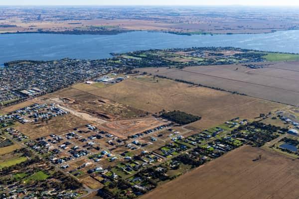
Lake Mulwala residential subdivision, Yarrawonga VIC
Yarrawonga VIC 3730
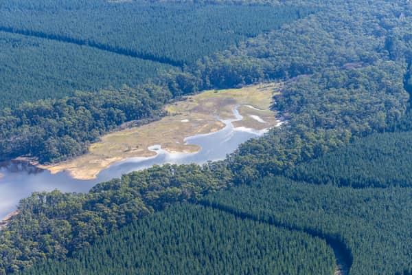
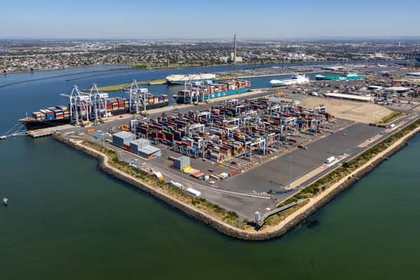
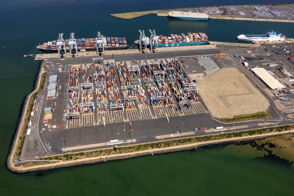
Webb Dock container terminal aerial view, Port Melbourne VIC
Port Melbourne VIC 3207
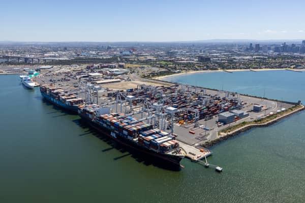
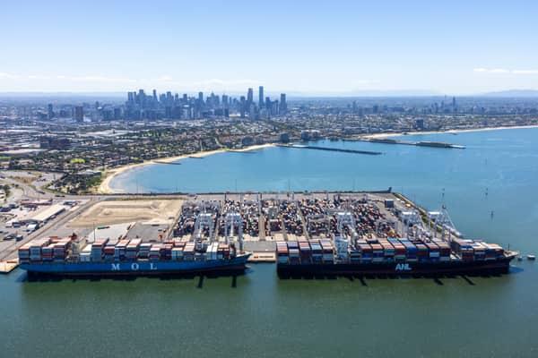
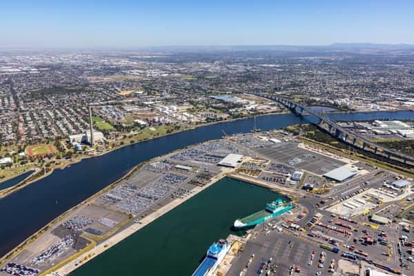
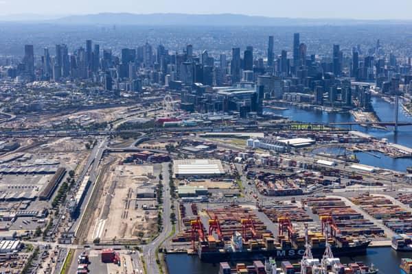
Port of Melbourne and CBD skyline, West Melbourne VIC
West Melbourne VIC 3003

Bunnings Doncaster and Westfield Doncaster aerial view, Doncaster VIC
Doncaster VIC 3108
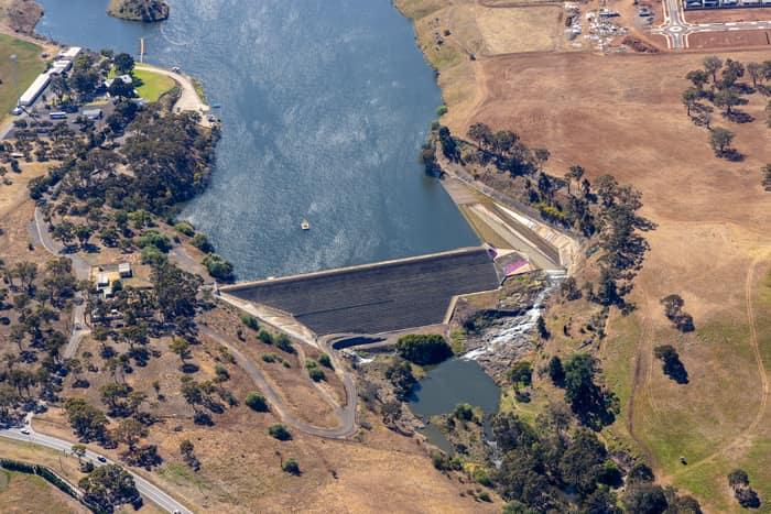
Melton Reservoir dam wall, Melton VIC
Melton VIC 3337

GrainCorp Moree grain terminal, Moree NSW
Moree NSW 2400