AERIAL NOW / Archive
Browse Aerial Photography
Construction, infrastructure and development aerial photography across Melbourne and Victoria.
21 images
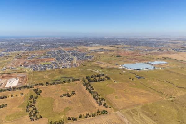
Boundary Road growth corridor aerial view, Truganina VIC
Truganina VIC 3029

Murray River bend through red gum forest, Cobram East VIC
Cobram East VIC 3644
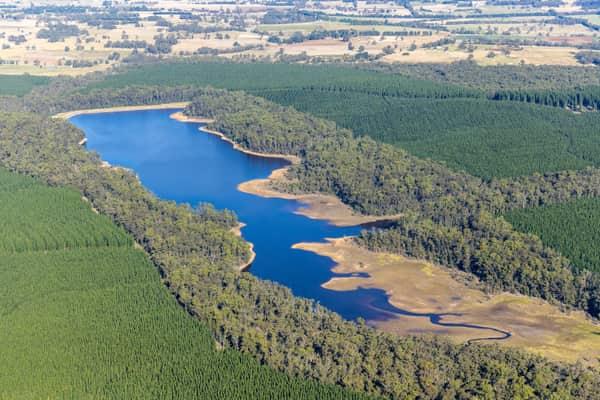
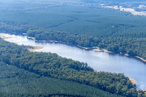
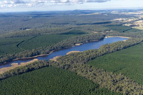
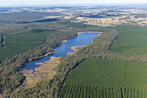
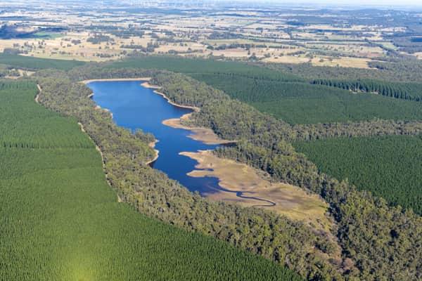
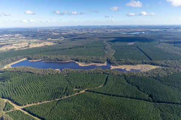
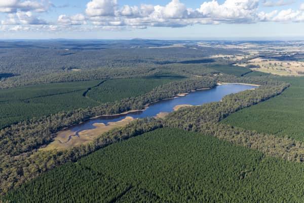
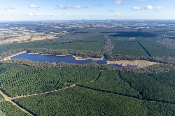
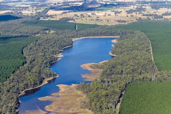
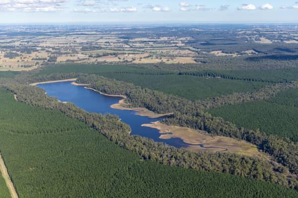
Bostock Reservoir amid pine plantations, Spargo Creek VIC
Spargo Creek VIC 3461
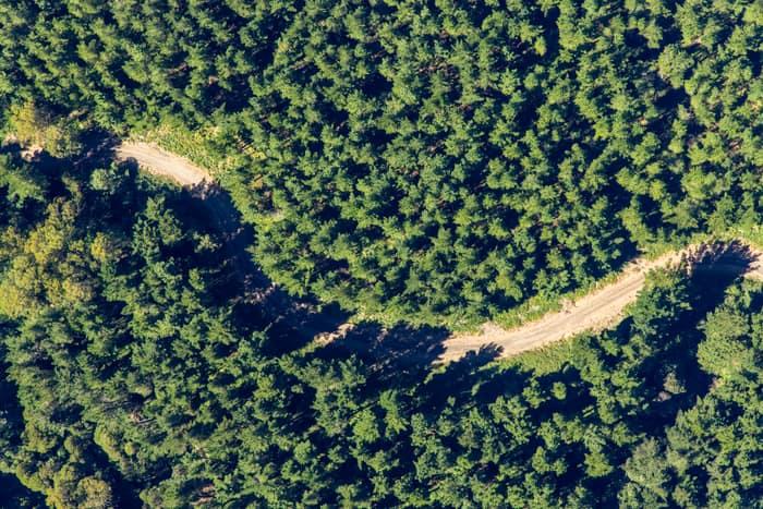
Unsealed forest track, Beech Forest VIC
Beech Forest VIC 3237
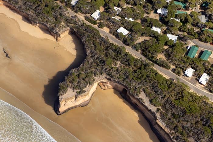
Point Roadknight cliffs and beach, Anglesea VIC
Anglesea VIC 3230
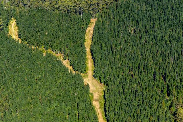
Pine plantation firebreak, Beech Forest VIC
Beech Forest VIC 3237

Orchard rows and farm track, Cobram VIC
Cobram VIC 3644
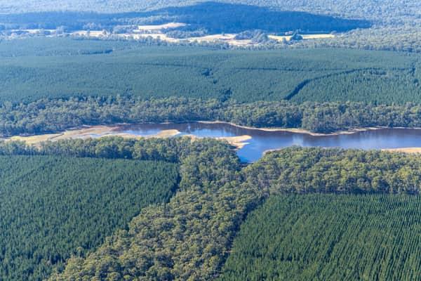
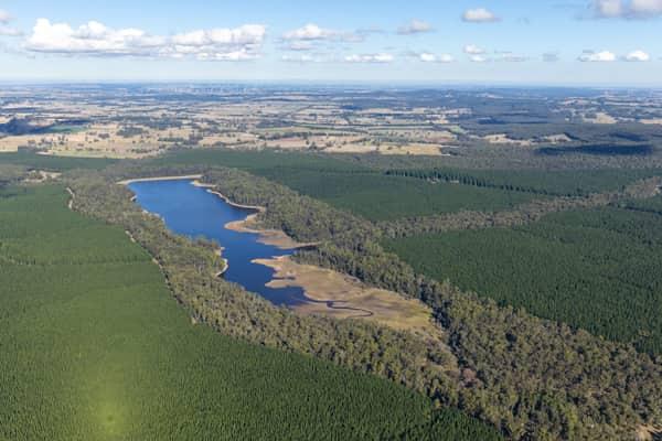
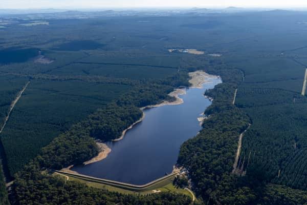
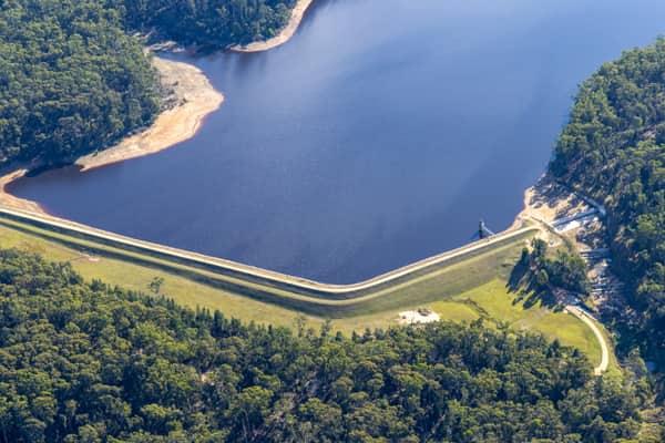
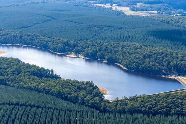
Bostock Reservoir inlet and plantations, Spargo Creek VIC
Spargo Creek VIC 3461