
AERIAL NOW / Archive
Browse Aerial Photography
Construction, infrastructure and development aerial photography across Melbourne and Victoria.
58 images
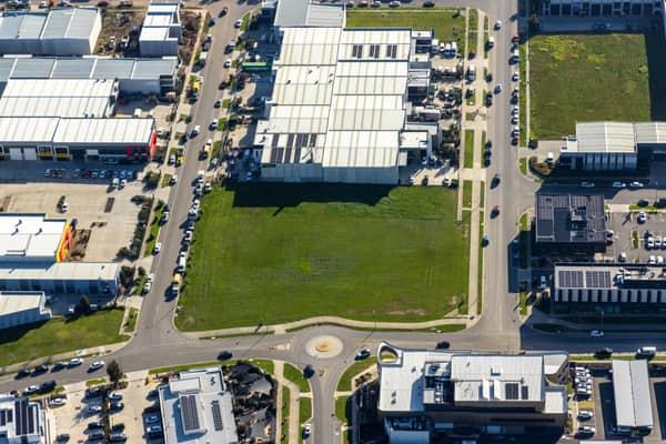
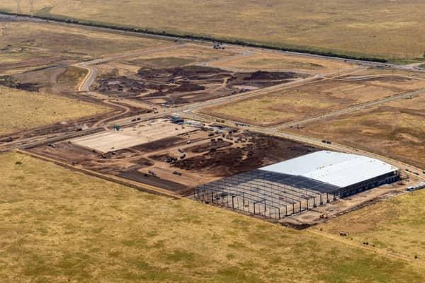
Vacant industrial land, Clyde North VIC
Clyde North VIC 3978
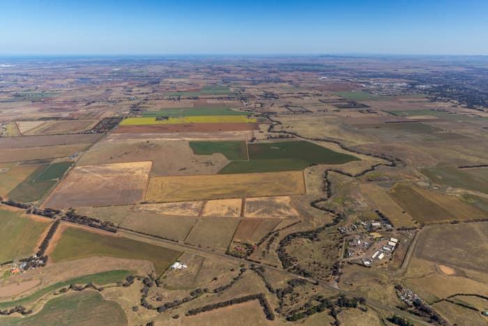
Mount Cottrell Road farmland, Melton VIC
Melton VIC 3337
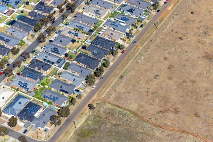
Brookfield residential estate and vacant land, Brookfield VIC
Brookfield VIC 3338
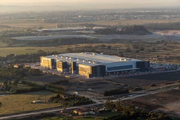
Industrial warehouse, Mickleham VIC
Mickleham VIC 3064

Parliament House and Treasury Gardens, Melbourne VIC
East Melbourne VIC 3002

Murray River woodland, Boomanoomana NSW
Boomanoomana NSW 2712

Murray River bend beside farmland and woodland, Cobram East VIC
Cobram East VIC 3644

Woodland lake and coastline, Moggs Creek VIC
Moggs Creek VIC 3231


Parliament House and Spring Street, Melbourne VIC
East Melbourne VIC 3002

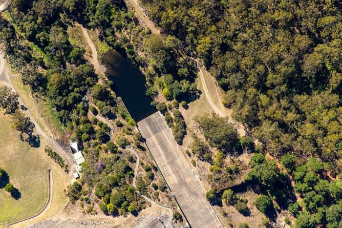
West Barwon Reservoir inlet and bushland, Forrest VIC
Forrest VIC 3236

Suburban parkland and homes, Doncaster East VIC
Doncaster East VIC 3109

Painkalac Creek and Split Point Lighthouse, Aireys Inlet VIC
Fairhaven VIC 3231

Split Point Lighthouse and Eagle Rock above coastal beach, Aireys Inlet VIC
Aireys Inlet VIC 3231
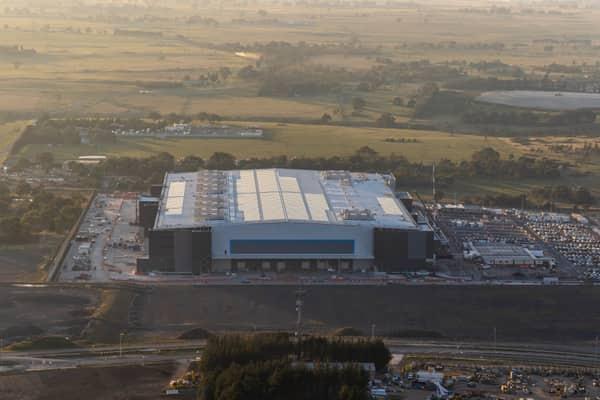
Amazon Robotics Fulfilment Centre, Craigieburn VIC
Craigieburn VIC 3064

Green-roofed storage units, Harristown QLD
Harristown QLD 4350

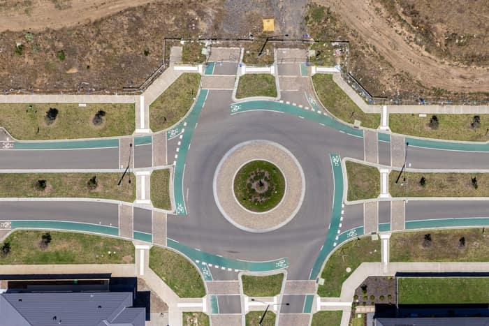
Residential estate roundabout, Mickleham VIC
Mickleham VIC 3064

Wooded river bend, Boomanoomana NSW
Boomanoomana NSW 2712

Anglesea coastal cliffs and Bass Strait, Anglesea VIC
Anglesea VIC 3230

Anglesea coastline and residential estates, Anglesea VIC
Anglesea VIC 3230
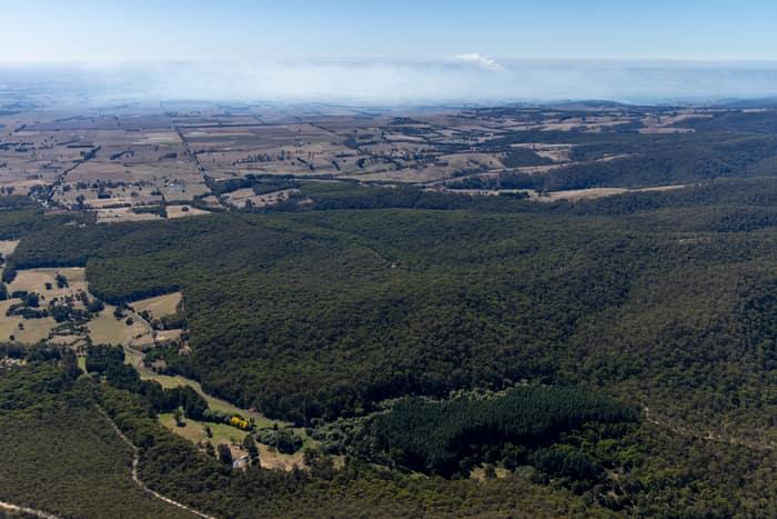
Otway forest and farmland, Forrest VIC
Barwon Downs VIC 3243
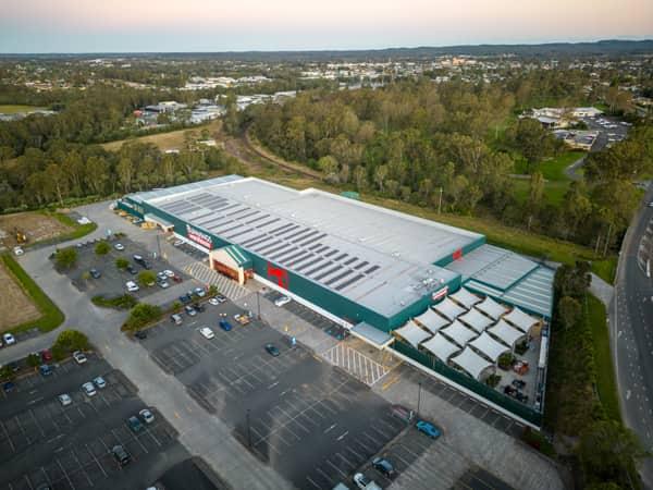
Bunnings Warehouse Taree, Taree NSW
Taree NSW 2430
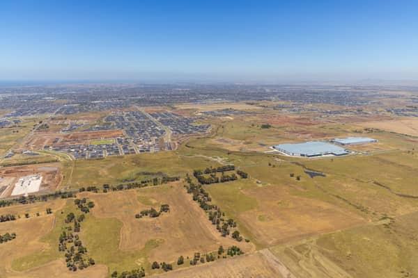
Boundary Road growth corridor aerial view, Truganina VIC
Truganina VIC 3029
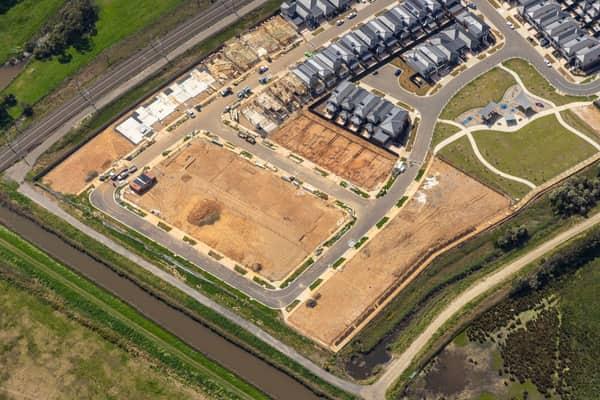
Casey Green Estate construction aerial view, Narre Warren VIC
Narre Warren VIC 3805

Somerton rail freight terminal and gantry cranes, VIC
Somerton VIC 3062
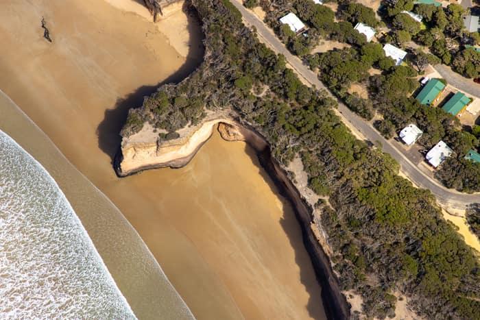
Surf Coast beach and eroded cliffs, Anglesea VIC
Anglesea VIC 3230

Marsh Crescent housing estate, Sunbury VIC
Sunbury VIC 3429

Bunnings Doncaster and Westfield Doncaster aerial view, Doncaster VIC
Doncaster VIC 3108
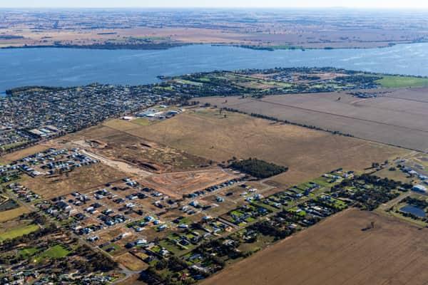
Lake Mulwala residential subdivision, Yarrawonga VIC
Yarrawonga VIC 3730
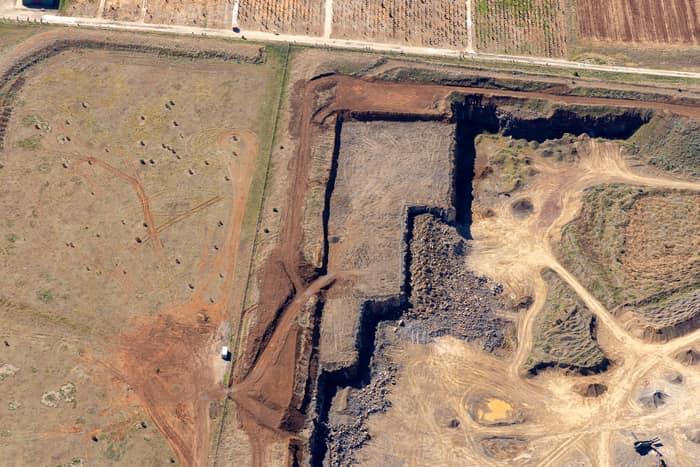
Quarry excavation and paddocks, Melton VIC
Melton VIC 3337
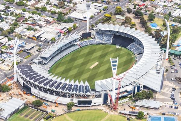

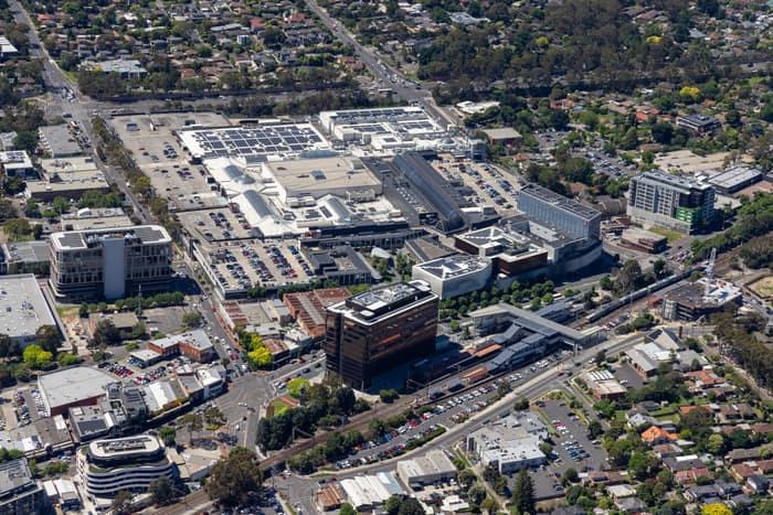
Eastland Shopping Centre, Ringwood VIC
Ringwood VIC 3134

Weller Road farmland, Lancaster VIC
Lancaster VIC 3620
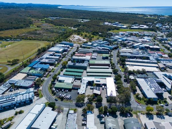
Centennial Circuit industrial estate, Byron Bay NSW
Byron Bay NSW 2481
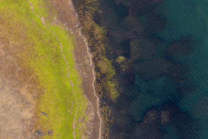
Lake Modewarre shoreline with grassy foreshore, Modewarre VIC
Wurdiboluc VIC 3241
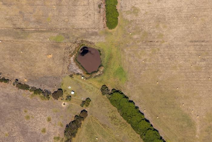
Farm dam and dry pasture, Princetown VIC
Princetown VIC 3269
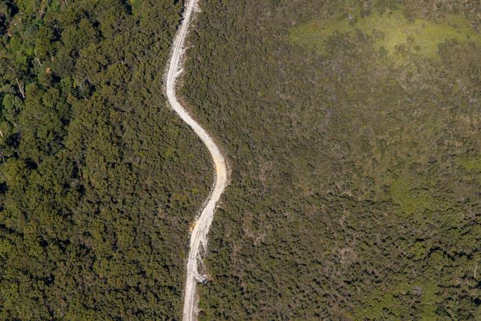
Winding bush track, Carlisle River VIC
Carlisle River VIC 3239

Apollo Bay Beach and residential streets, Apollo Bay VIC
Apollo Bay VIC 3233

Anglesea ocean cliffs and Bass Strait, Anglesea VIC
Anglesea VIC 3230

Torquay coastline and farmland, Torquay VIC
Torquay VIC 3228

Craigieburn Road retail and housing, Craigieburn VIC
Craigieburn VIC 3064
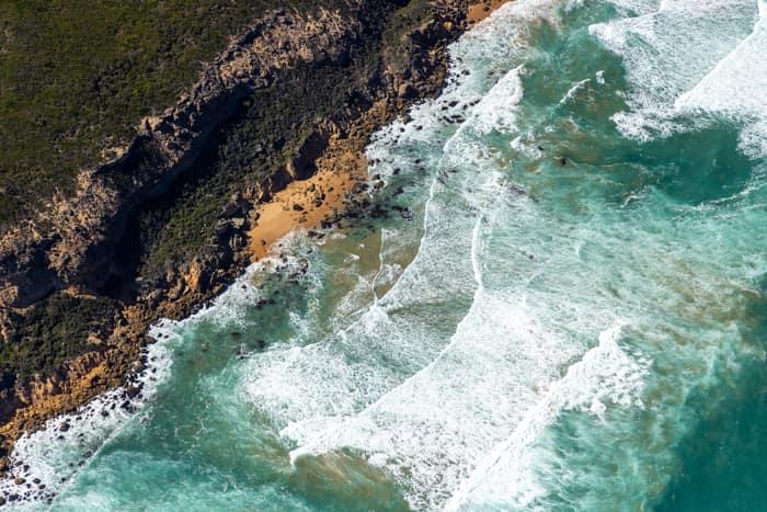
Port Campbell National Park coastline with rocky coves, Princetown VIC
Princetown VIC 3269
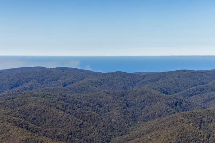
Great Otway National Park forest ranges, near Lorne VIC
Barwon Downs VIC 3243

Orchard rows and farm track, Cobram VIC
Cobram VIC 3644

Chilworth Street housing estate, Donnybrook VIC
Donnybrook VIC 3064
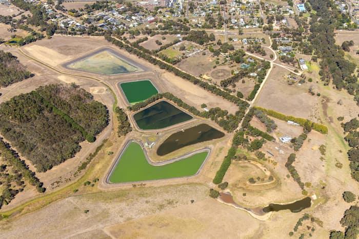
Wastewater treatment ponds, Winchelsea VIC
Winchelsea VIC 3241
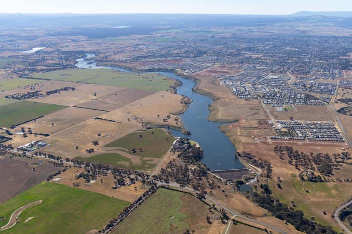
Melton Reservoir and Werribee River, Melton VIC
Melton VIC 3337
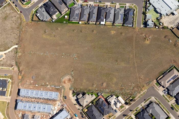
Agate Drive residential development site, Tarneit VIC
Tarneit VIC 3029
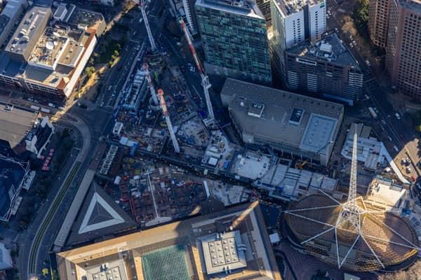
Melbourne Arts Precinct Transformation, Southbank VIC
Southbank VIC 3006
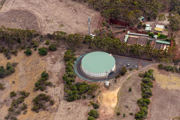
Mount Duneed water storage tank, Mount Duneed VIC
Mount Duneed VIC 3217

Bethnal Avenue residential estate, Wollert VIC
Wollert VIC 3750

Anglesea cliffs and Bass Strait coastline, Anglesea VIC
Anglesea VIC 3230
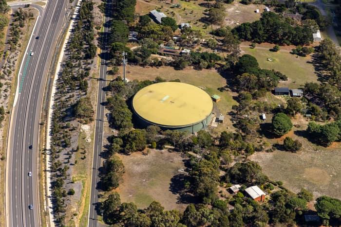
Water storage tank, Andersons Road Drysdale VIC
Drysdale VIC 3222