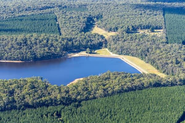
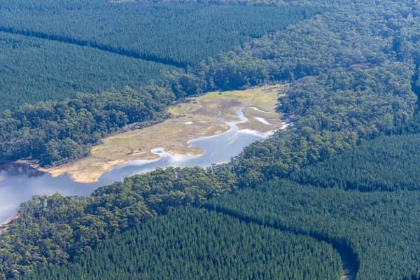
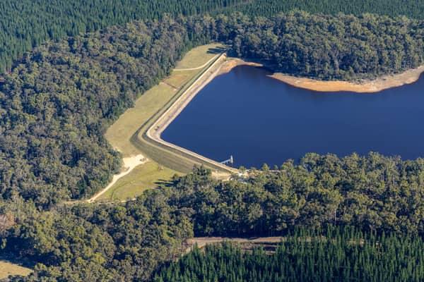
Aerial Now

High-resolution aerial photography for construction progress, infrastructure projects and development documentation across Melbourne and Victoria.

Copyright Aerial Now. Images may not be copied, downloaded or reproduced without a licence.

Archive

Browse archiveProjectsLocationsMapLicensing

Aerial Now

Main websiteBook a shootRequest licenceClient portalPrivacy policy
Aerial Now
Client PortalBook a shoot
BrowseProjectsLocationsMapLicensingClient Portal
AERIAL NOW / Archive

Browse Aerial Photography

Construction, infrastructure and development aerial photography across Melbourne and Victoria.

22 images
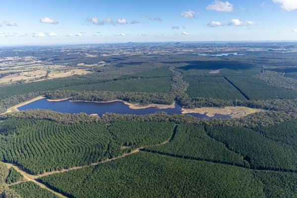
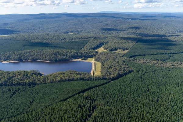
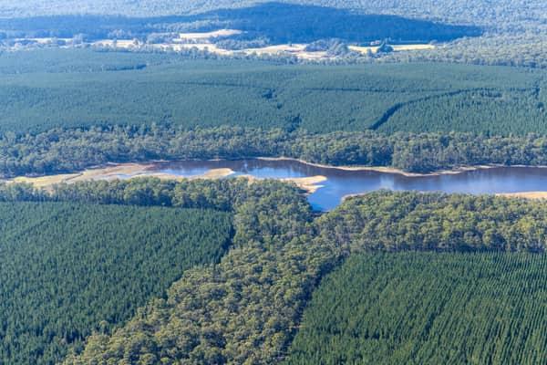
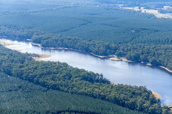
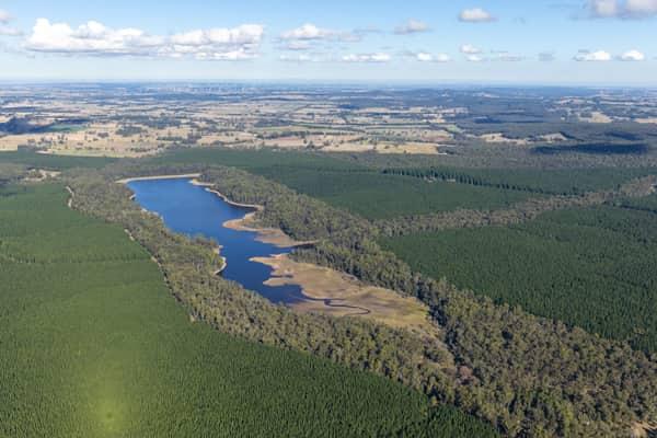
Aerial view of Bostock Reservoir at Spargo Creek, with dark water bordered by forest, pine plantations, access tracks and surrounding rural land.
Bostock Reservoir amid pine plantations, Spargo Creek VIC
Spargo Creek VIC 3461
View project timeline →
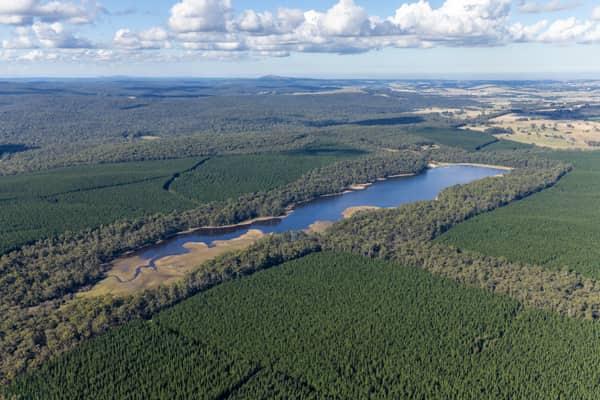
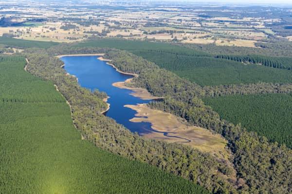
Aerial view of Bostock Reservoir at Spargo Creek VIC, showing the blue reservoir inlet bordered by forest, pine plantations and surrounding rural land.
Bostock Reservoir inlet and plantations, Spargo Creek VIC
Spargo Creek VIC 3461
View project timeline →
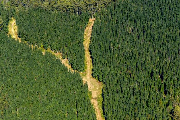
Aerial view of a cleared firebreak and access track cutting through dense pine plantation forest near Beech Forest in the Otway Ranges, Victoria.
Pine plantation firebreak, Beech Forest VIC
Beech Forest VIC 3237
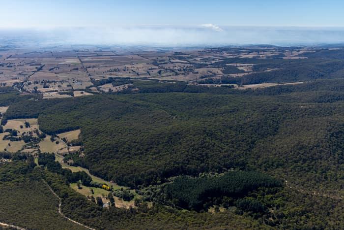
Aerial view of dense Otway forest, plantation blocks and surrounding farmland near Forrest in Victoria, with distant haze across the rural landscape.
Otway forest and farmland, Forrest VIC
Barwon Downs VIC 3243
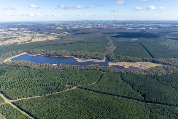
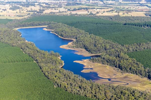
Aerial view of Bostock Reservoir near Spargo Creek, showing the reservoir inlet, irregular shoreline and surrounding plantation forest.
Bostock Reservoir inlet and plantation forest, Spargo Creek VIC
Spargo Creek VIC 3461
View project timeline →
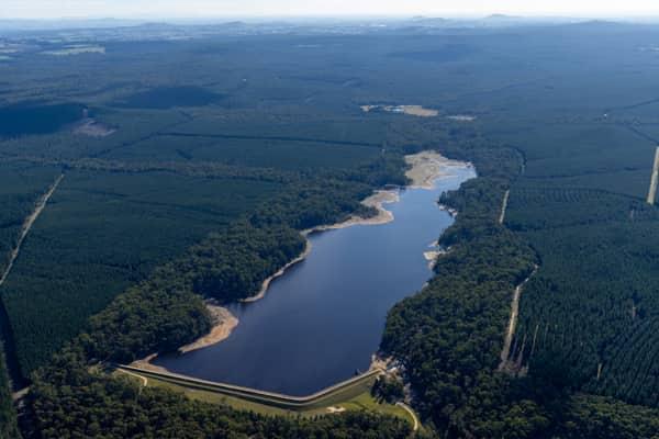
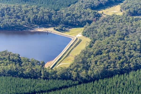
Aerial view of Bostock Reservoir at Spargo Creek VIC, showing the dam wall or spillway beside the water storage and surrounding pine forest.
Bostock Reservoir spillway and forest, Spargo Creek VIC
Spargo Creek VIC 3461
View project timeline →
Aerial view of Bostock Reservoir near Barkstead, showing the reservoir water, exposed shallow edges, surrounding forest and plantation country.
Bostock Reservoir forested shoreline, Barkstead VIC
Barkstead VIC 3364
View project timeline →
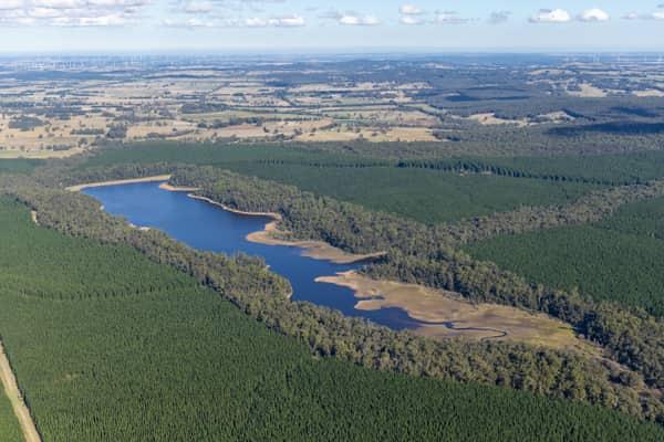
Aerial view of Bostock Reservoir at Spargo Creek, with blue water, exposed shoreline, surrounding native bushland and pine plantations.
Bostock Reservoir shoreline and pine plantations, Spargo Creek VIC
Spargo Creek VIC 3461
View project timeline →
Aerial view of Bostock Reservoir at Spargo Creek, with blue water, exposed shoreline, surrounding native forest and plantation country.
Bostock Reservoir inlet and forest, Spargo Creek VIC
Spargo Creek VIC 3461
View project timeline →
Aerial view of Bostock Reservoir near Bolwarrah, showing a narrow inlet, exposed pale shoreline, surrounding forest and plantation blocks.
Bostock Reservoir forested shoreline, Bolwarrah VIC
Bolwarrah VIC 3352
View project timeline →
Aerial view of Bostock Reservoir in Bunding, Victoria, showing the dam wall, curving shoreline and surrounding forest plantations.
Bostock Reservoir shoreline and dam, Bunding VIC
Bunding VIC 3342
View project timeline →
Aerial view of Bostock Reservoir with a narrow shoreline surrounded by dense forest and plantation land near Bolwarrah, Victoria.
Bostock Reservoir shoreline, Bolwarrah VIC
Bolwarrah VIC 3352
View project timeline →
Aerial view of Bostock Reservoir at Spargo Creek, showing the forested shoreline, shallow inlet areas and surrounding pine plantations and farmland.
Bostock Reservoir shoreline, Spargo Creek VIC
Spargo Creek VIC 3461
View project timeline →
Aerial view of Bostock Reservoir at Bolwarrah, Victoria, showing a narrow forested inlet, reservoir shoreline and surrounding plantation forestry.
Bostock Reservoir forested inlet, Bolwarrah VIC
Bolwarrah VIC 3352
View project timeline →
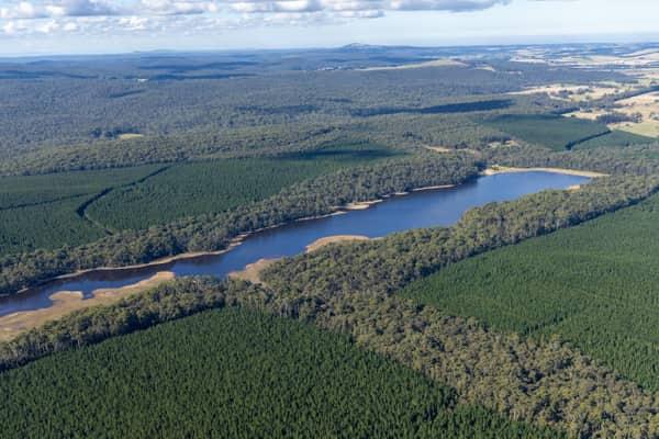
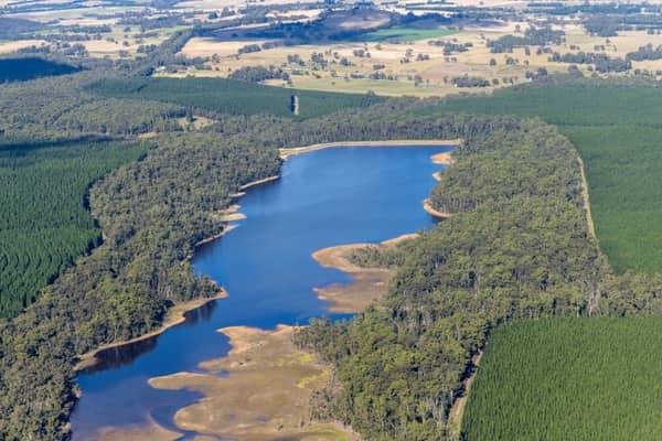
Aerial view of a long inlet of Bostock Reservoir at Spargo Creek, with exposed shoreline, native bushland, pine plantation forest and rural farmland beyond.
Bostock Reservoir inlet, Spargo Creek VIC
Spargo Creek VIC 3461
View project timeline →
Aerial view of Bostock Reservoir dam wall and water storage surrounded by forest and plantation near Spargo Creek, Victoria.
Bostock Reservoir dam wall, Spargo Creek VIC
Spargo Creek VIC 3461
View project timeline →
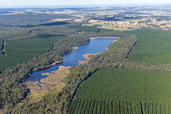
Aerial view of Bostock Reservoir near Spargo Creek, showing shallow inlet wetlands, surrounding bushland, plantation forest and rural farmland beyond.
Bostock Reservoir inlet wetlands, Spargo Creek VIC
Spargo Creek VIC 3461
View project timeline →
Aerial view of Bostock Reservoir at Bolwarrah, showing the dam wall, blue water storage, surrounding forest and pine plantation.
Bostock Reservoir dam wall, Bolwarrah VIC
Bolwarrah VIC 3352
View project timeline →
Aerial view of the Bostock Reservoir inlet shoreline near Spargo Creek, Victoria, with exposed lakebed margins surrounded by dense forest and plantation blocks.
Bostock Reservoir inlet shoreline, Spargo Creek VIC
Spargo Creek VIC 3461
View project timeline →
Aerial view of Bostock Reservoir at Spargo Creek, showing the earth embankment, access road, outlet structure, dark water and surrounding forest.
Bostock Reservoir embankment and shoreline, Spargo Creek VIC
Spargo Creek VIC 3461
View project timeline →
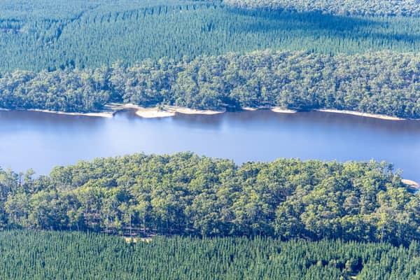
Aerial view of Bostock Reservoir with forested shoreline and pine plantations near Spargo Creek, Victoria.
Bostock Reservoir, Spargo Creek VIC
Spargo Creek VIC 3461
View project timeline →
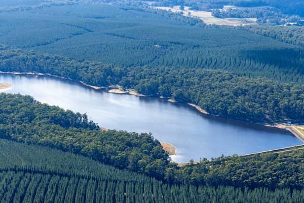
Aerial view of Bostock Reservoir at Spargo Creek, showing the water storage surrounded by dense forest, plantation rows and a visible dam wall.
Bostock Reservoir, Spargo Creek VIC
Spargo Creek VIC 3461
View project timeline →