
AERIAL NOW / Archive
Browse Aerial Photography
Construction, infrastructure and development aerial photography across Melbourne and Victoria.
37 images

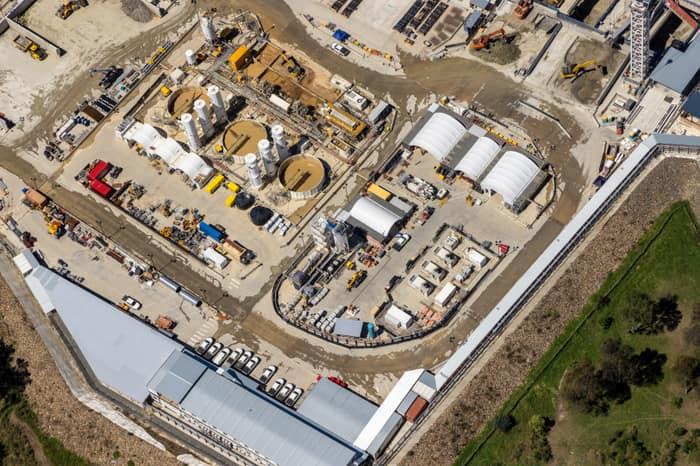

North East Link construction with road realignments, Heidelberg VIC
Heidelberg VIC 3084

Eastern Freeway interchange construction, Balwyn North VIC
Balwyn North VIC 3104

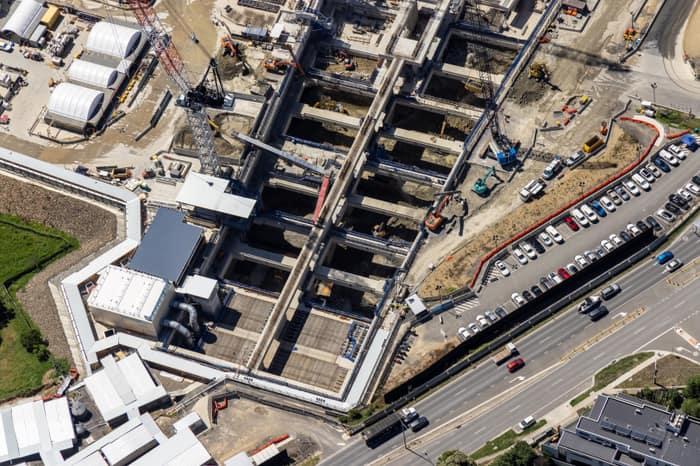
North East Link construction beside Manningham Road, Bulleen VIC
Bulleen VIC 3105


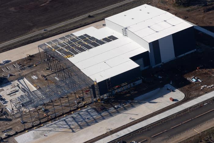
Warehouse construction on Brinbrook Street, Tarneit VIC
Tarneit VIC 3029
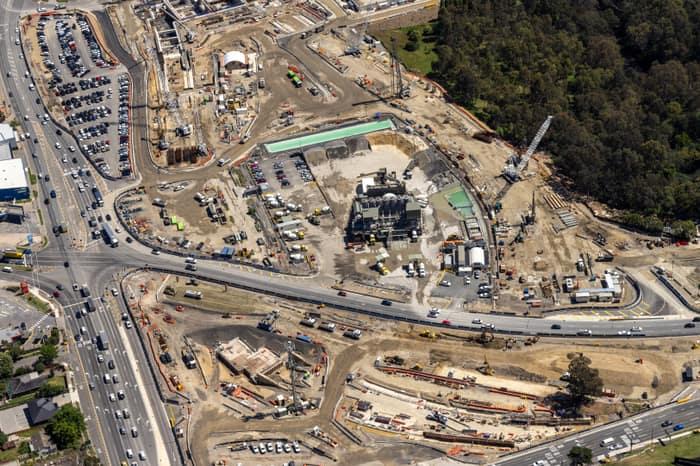
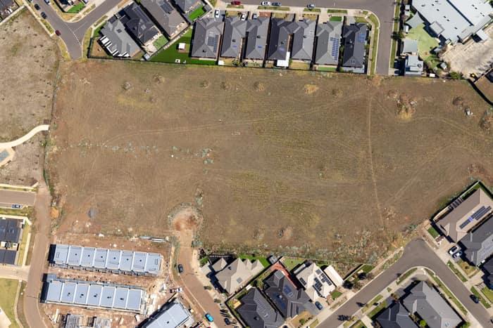
Agate Drive residential development site, Tarneit VIC
Tarneit VIC 3029

Eastern Freeway construction works, Balwyn North VIC
Balwyn North VIC 3104

Somerton Intermodal Terminal construction aerial view, VIC
Somerton VIC 3062

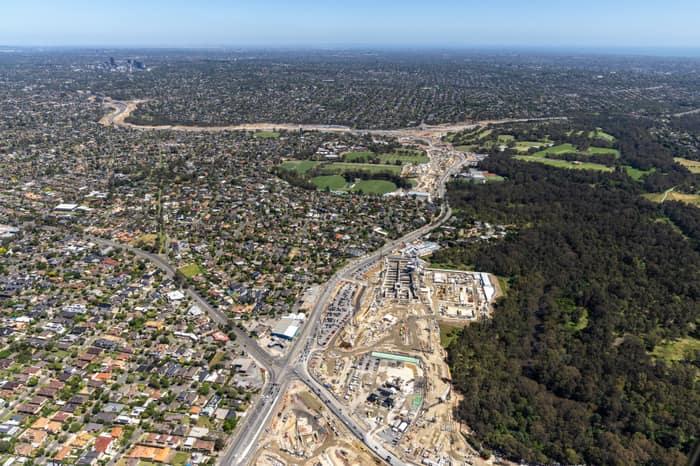
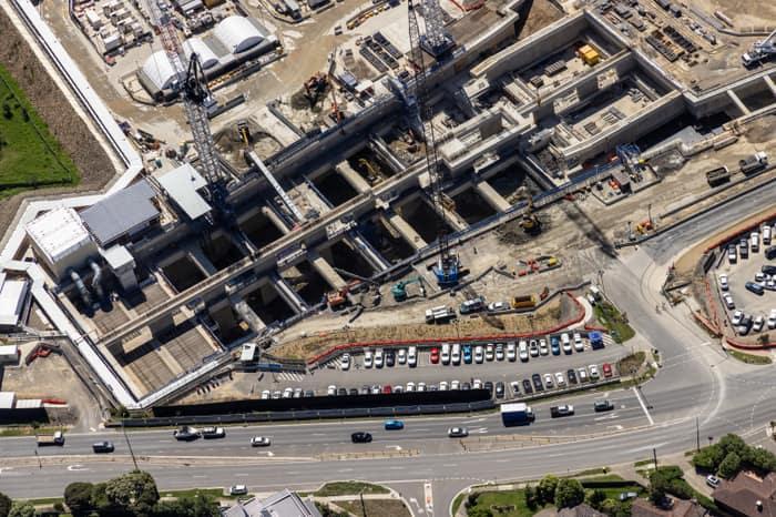
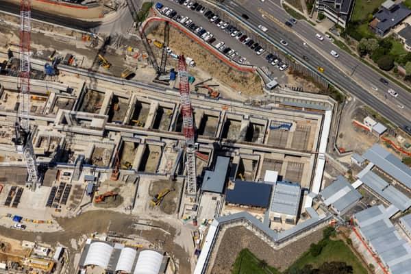
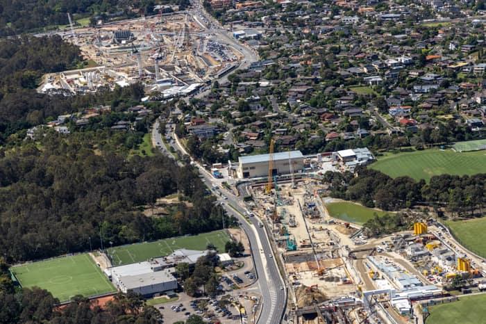

North East Link worksite beside sports fields, Bulleen VIC
Bulleen VIC 3105

North East Link construction beside Bulleen Park, Bulleen VIC
Bulleen VIC 3105


Road and bridge construction, Balwyn North VIC
Balwyn North VIC 3104

North East Link construction at interchange works, Bulleen VIC
Bulleen VIC 3105
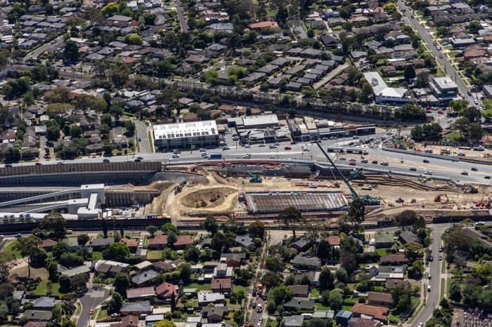
North East Link construction beside Service Road, Watsonia VIC
Watsonia VIC 3087
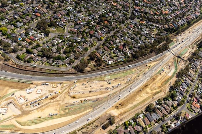
North East Link construction, Watsonia North VIC
Watsonia North VIC 3087
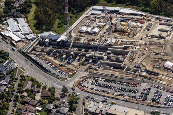
North East Link construction beside Bulleen Road, Bulleen VIC
Bulleen VIC 3105
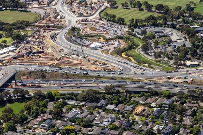
North East Link construction, Balwyn North VIC
Balwyn North VIC 3104
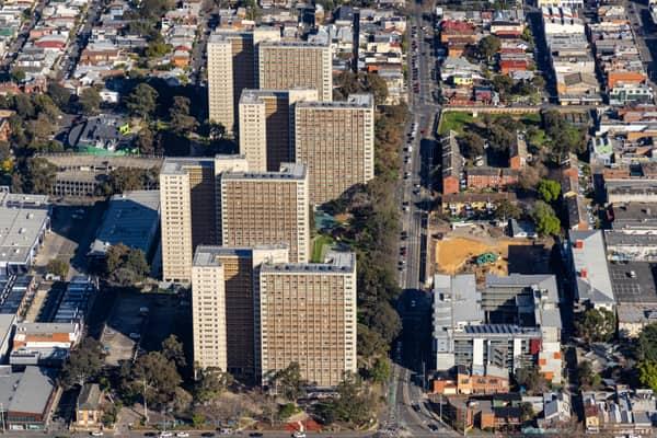
Langdon Park towers and 106 Elizabeth Street works, Richmond VIC
Richmond VIC 3121
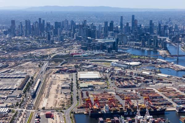
Port of Melbourne and CBD skyline, West Melbourne VIC
West Melbourne VIC 3003
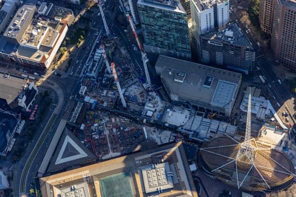
Melbourne Arts Precinct Transformation, Southbank VIC
Southbank VIC 3006
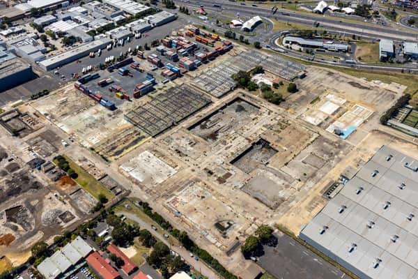
Former Holden factory redevelopment, Port Melbourne VIC
Port Melbourne VIC 3207
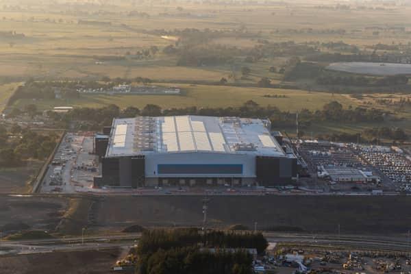
Amazon Robotics Fulfilment Centre, Craigieburn VIC
Craigieburn VIC 3064
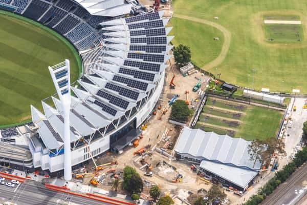
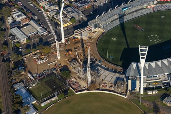
GMHBA Stadium redevelopment and rooftop solar, South Geelong VIC
South Geelong VIC 3220

Bulleen Road and Eastern Freeway works, Balwyn North VIC
Balwyn North VIC 3104
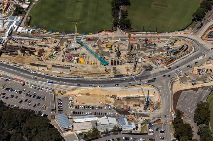
North East Link works along Bulleen Road, Bulleen VIC
Bulleen VIC 3105
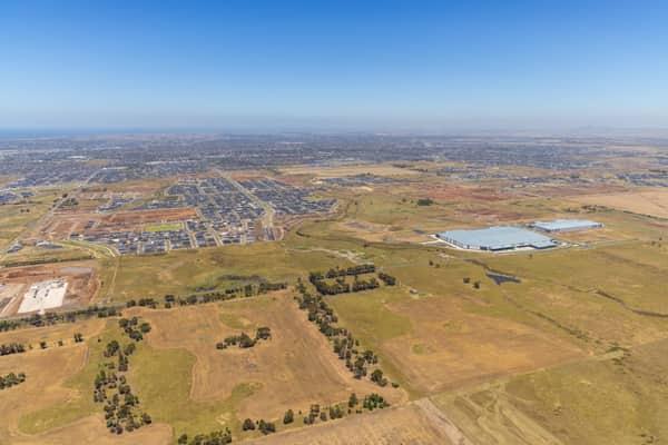
Boundary Road growth corridor aerial view, Truganina VIC
Truganina VIC 3029