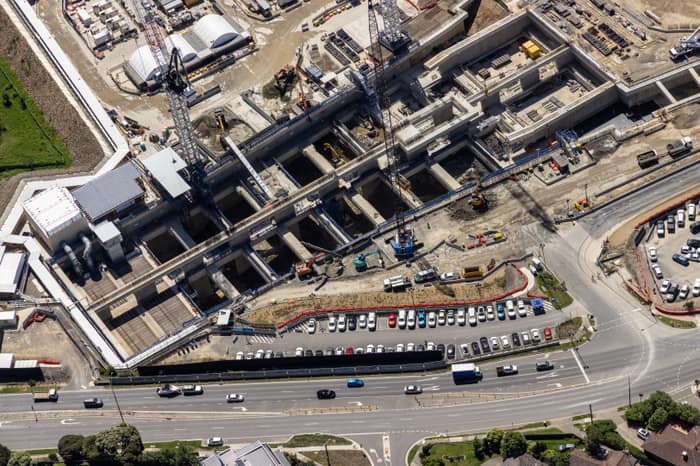
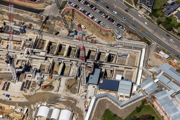
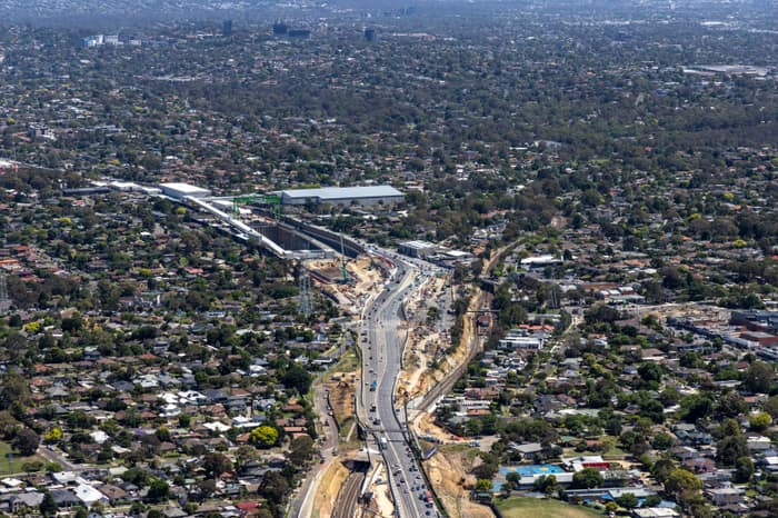
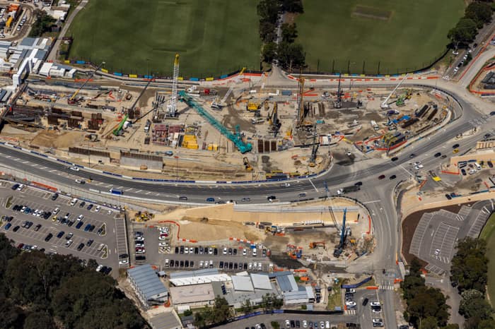
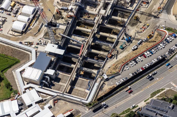
Aerial Now imagery documenting major transport infrastructure works through Melbourne's north-east, including construction zones, road alignments, parkland interfaces and surrounding suburbs.
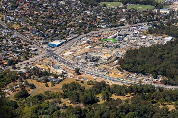
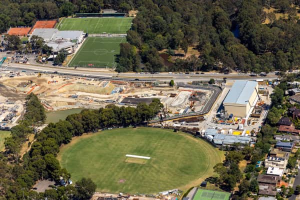
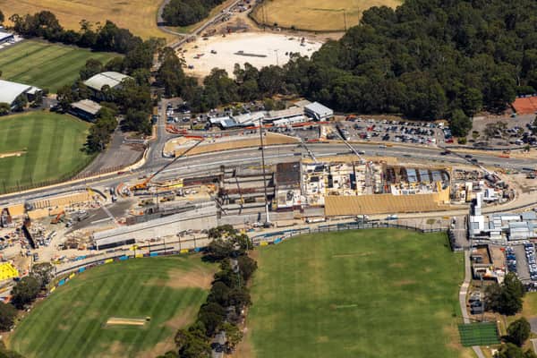
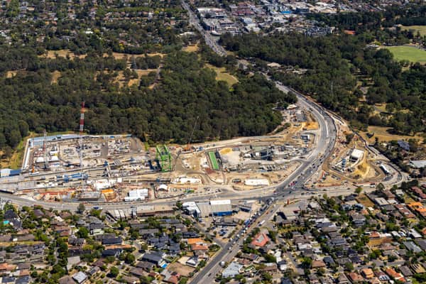
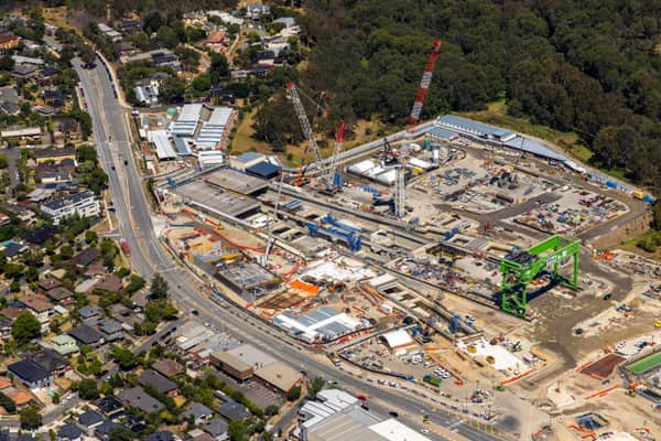
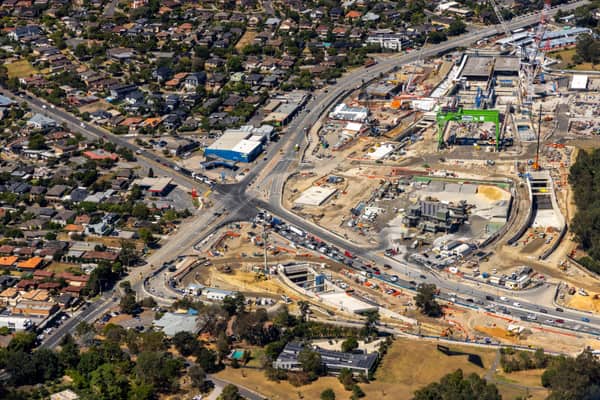
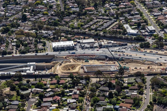
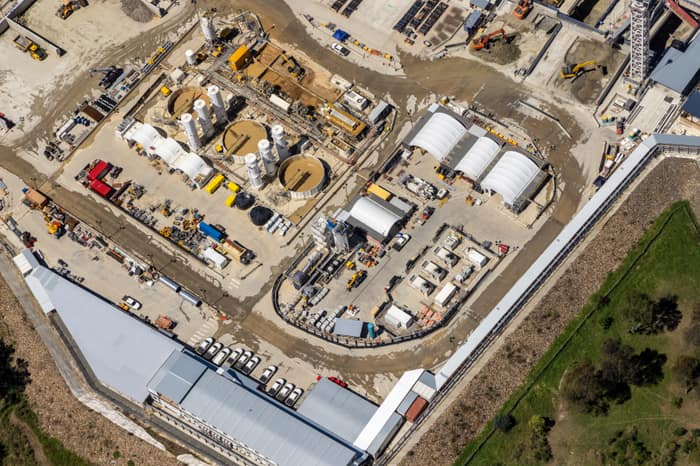
North East Link construction with road alignments, Heidelberg VIC
Heidelberg VIC 3084
20 February 2026
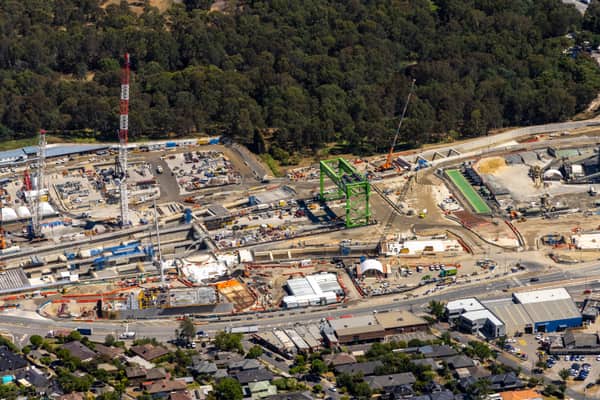
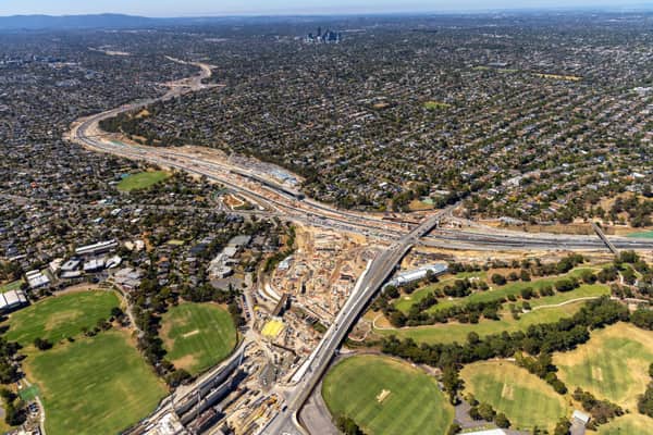
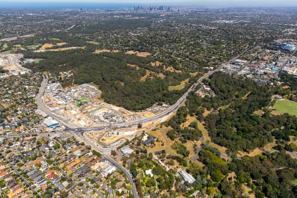
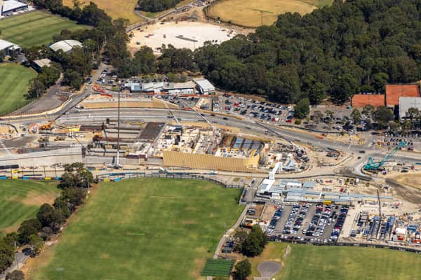
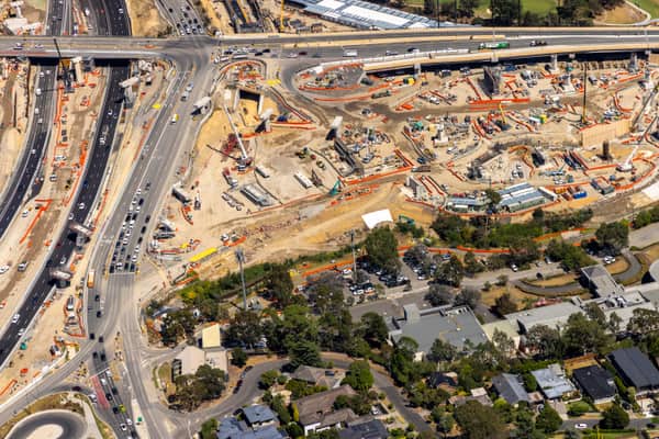
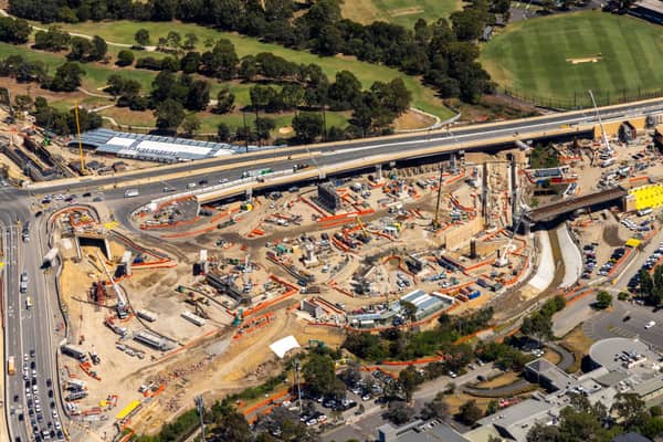
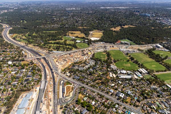
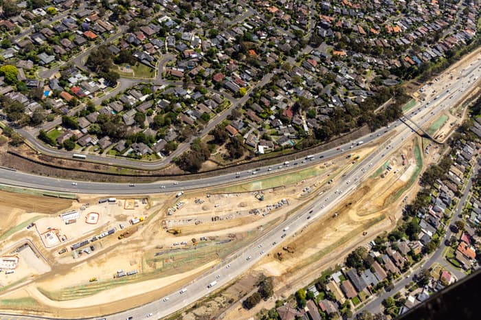
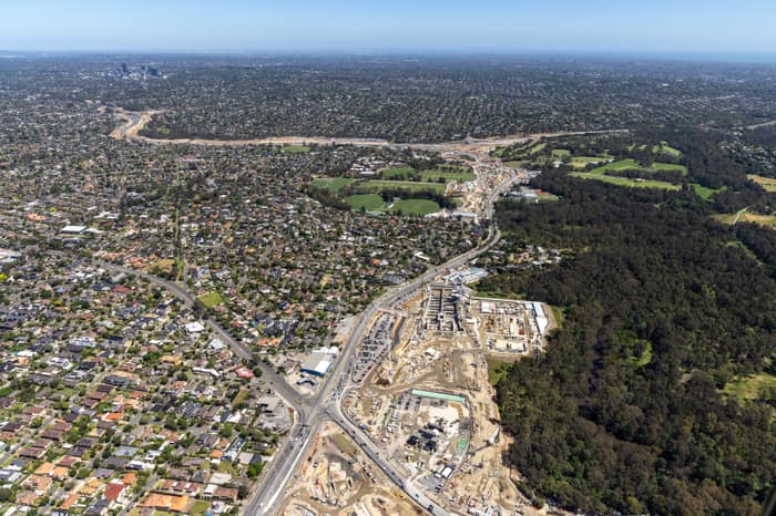
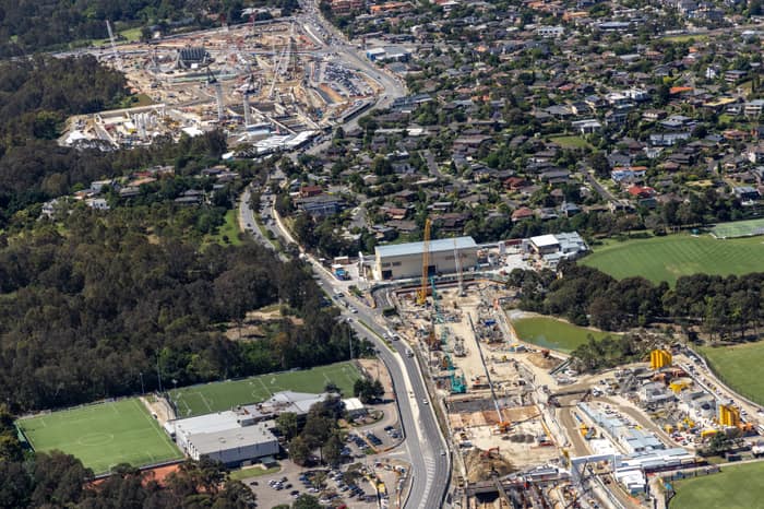
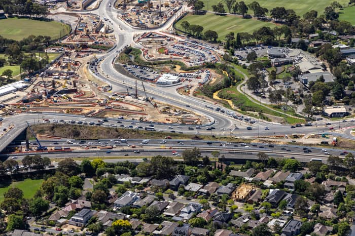
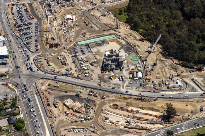
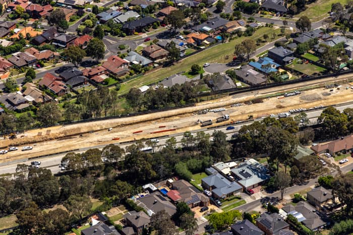
Captured later in the program as works continued around Heidelberg, Bulleen, Manningham Road, Bulleen Road and the Eastern Freeway connection. These views provide a useful record of the changing construction footprint around the southern end of the North East Link corridor before the planned 2028 opening.
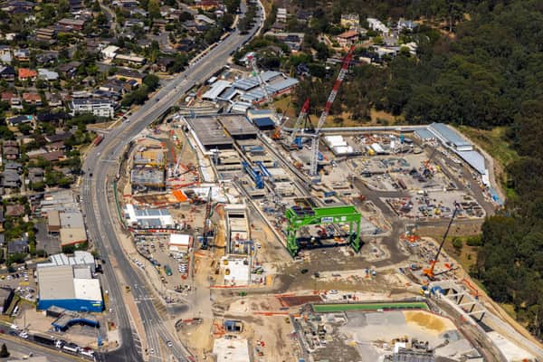
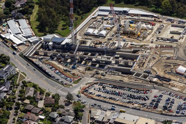
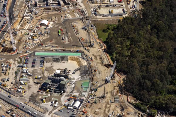
Captured during the major works phase, when North East Link construction was active across Watsonia, Bulleen and the Eastern Freeway interface. The images show surface works, site compounds, road realignments and construction zones connected to the wider tunnel, interchange and freeway upgrade program.
Construction progress and infrastructure aerial photography
Locations
Heidelberg, Bulleen, Watsonia, Watsonia North
Project Packages
Licence this project as a curated image package
Project packages are quoted around the intended use, licence term and delivery needs. These starting points make it easier to choose the right level before requesting a quote.
North East Link Media Pack
From $795
A focused image set for articles, presentations and infrastructure communications.
Best for
Media, planning context and project explainers
8-12 selected images
Images selected across Heidelberg and Bulleen where available
Editorial, report or web licence options
North East Link Project Archive
From $1,850
A larger licensed package covering multiple views and construction stages.
Best for
Infrastructure reporting, stakeholder updates and long-form content
All suitable North East Link public images
Images grouped by capture date and location
High-resolution delivery after usage approval
Custom Infrastructure Licence
By quote
A tailored licence for higher visibility use, syndication, advertising or broad stakeholder distribution.
Best for
Campaigns, major reports and multi-party communications
Custom image selection
Usage, duration and territory matched to the project
Construction progress reportsInfrastructure communicationsPlanning and context imageryEditorial and media referenceCommercial licensing
Overview
This project archive brings together licensable aerial images of North East Link construction activity around Heidelberg and Bulleen. The photographs are useful for infrastructure reporting, planning context, media reference, construction communications and visual research into Melbourne's changing transport network.
Redevelopment Context
Public North East Link project information describes a major program connecting Melbourne's freeway network through 6.5km twin tunnels from Watsonia to Bulleen, with associated works on the Eastern Freeway, M80 Ring Road, Bulleen Road, Manningham Road interchange areas, parklands and walking and cycling links. This archive follows visible surface construction activity around the northern and southern parts of the corridor, including Watsonia, Heidelberg, Bulleen, Balwyn North and the Eastern Freeway interface.