
AERIAL NOW / Archive
Browse Aerial Photography
Construction, infrastructure and development aerial photography across Melbourne and Victoria.
25 images
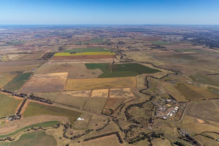
Mount Cottrell Road farmland, Melton VIC
Melton VIC 3337

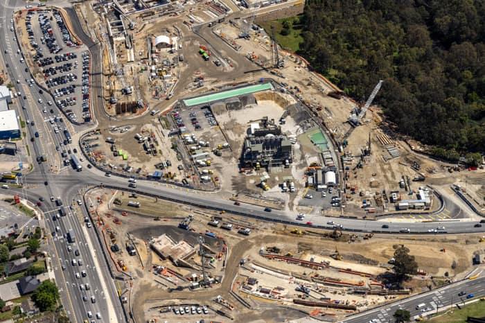
North East Link construction beside Manningham Road, Bulleen VIC
Bulleen VIC 3105

Gympie Connection Road construction, Victory Heights QLD
Victory Heights QLD 4570

Weller Road farmland, Lancaster VIC
Lancaster VIC 3620
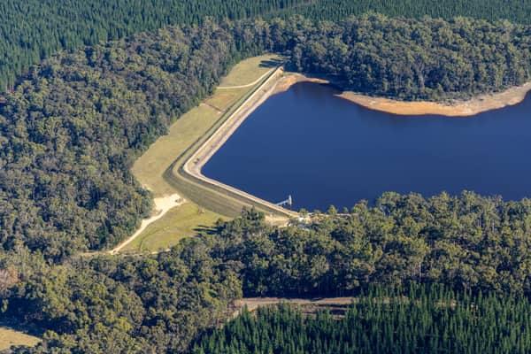
Bostock Reservoir embankment and shoreline, Spargo Creek VIC
Spargo Creek VIC 3461

Covered utility process tanks, Craigieburn VIC
Craigieburn VIC 3064

Bunnings Doncaster and Westfield Doncaster aerial view, Doncaster VIC
Doncaster VIC 3108
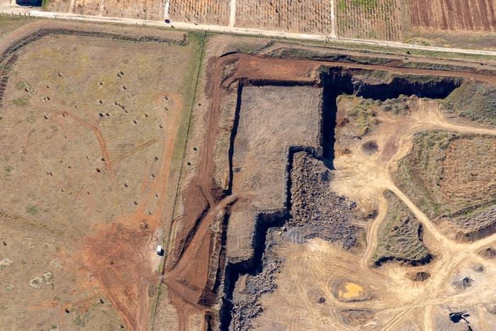
Quarry excavation and paddocks, Melton VIC
Melton VIC 3337
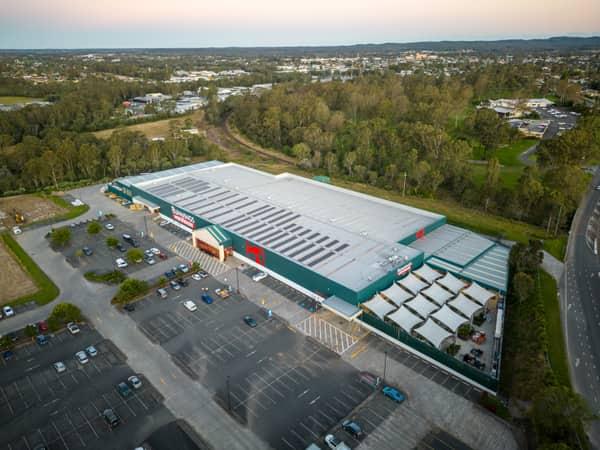
Bunnings Warehouse Taree, Taree NSW
Taree NSW 2430
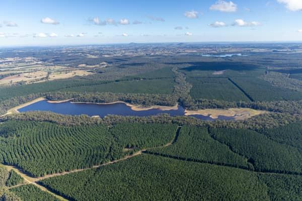
Bostock Reservoir amid pine plantations, Spargo Creek VIC
Spargo Creek VIC 3461

Anglesea coastline and residential estates, Anglesea VIC
Anglesea VIC 3230
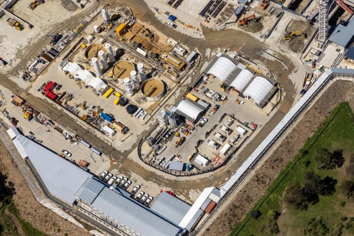
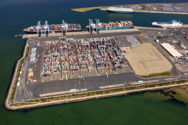
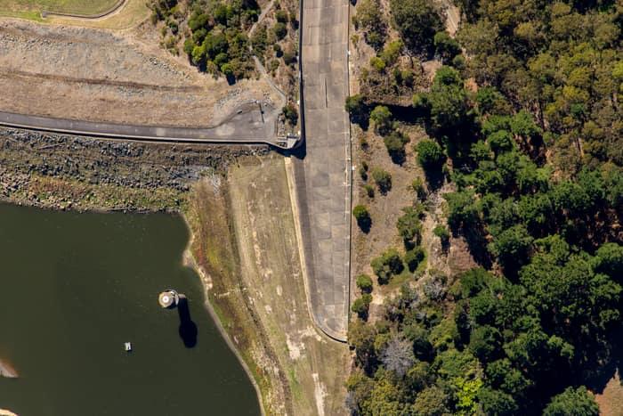
West Barwon Reservoir dam wall, Forrest VIC
Forrest VIC 3236

Pacific Werribee shopping centre, Werribee VIC
Werribee VIC 3030
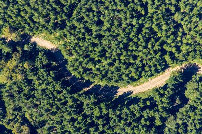
Unsealed forest track, Beech Forest VIC
Beech Forest VIC 3237
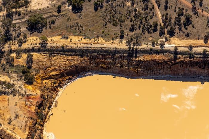
Water storage dam and earthworks, Melton VIC
Melton VIC 3337
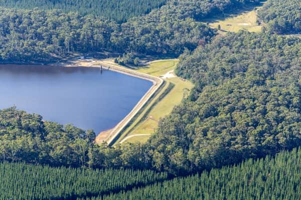
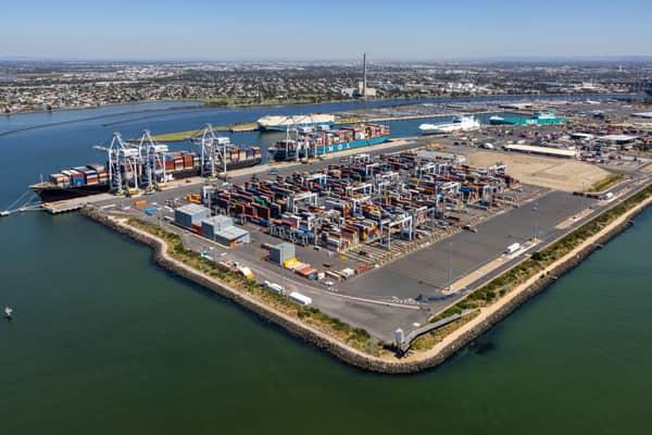
Webb Dock container terminal aerial view, Port Melbourne VIC
Port Melbourne VIC 3207
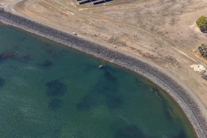
Wurdee Boluc Reservoir shoreline, Wurdiboluc VIC
Wurdiboluc VIC 3241
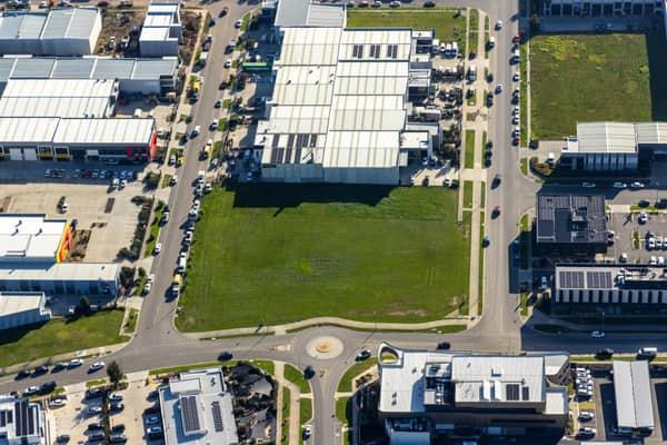
Vacant industrial land, Clyde North VIC
Clyde North VIC 3978

Anglesea Water Reclamation Plant, Anglesea VIC
Anglesea VIC 3230
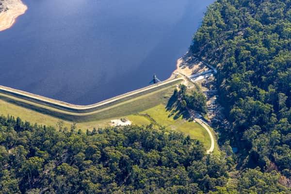
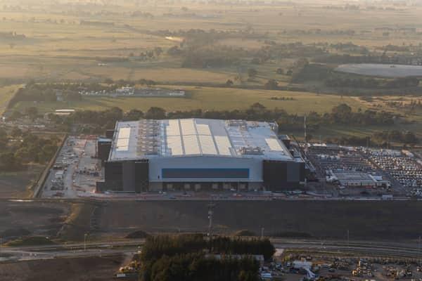
Amazon Robotics Fulfilment Centre, Craigieburn VIC
Craigieburn VIC 3064