
AERIAL NOW / Archive
Browse Aerial Photography
Construction, infrastructure and development aerial photography across Melbourne and Victoria.
23 images
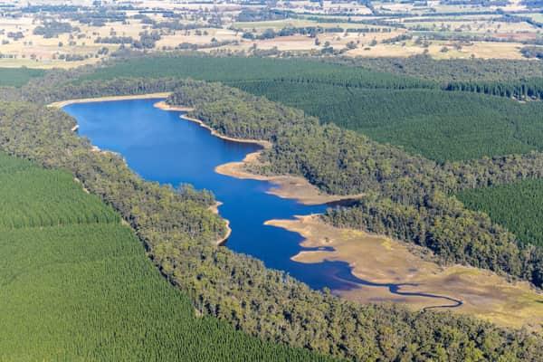
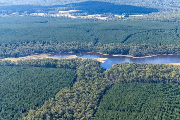
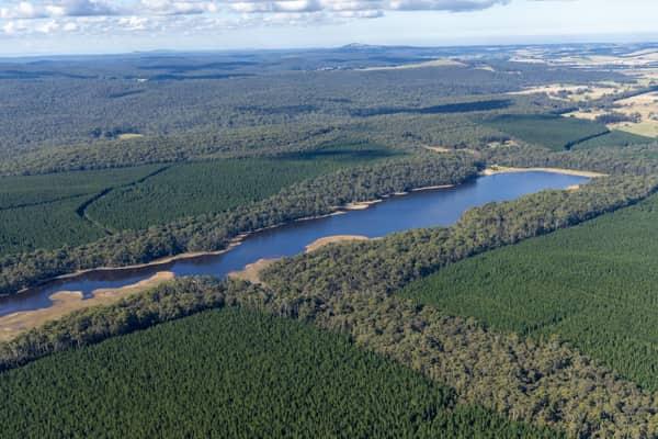
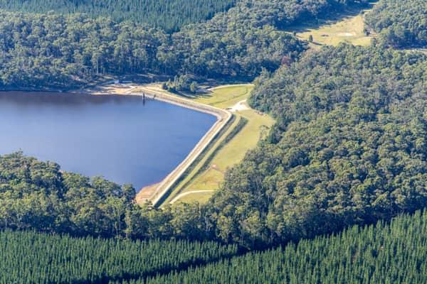
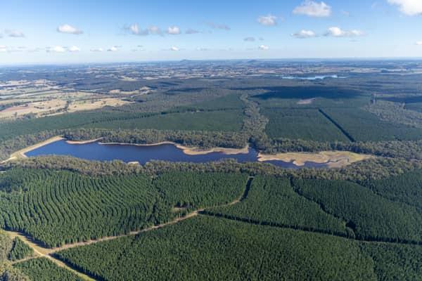
Bostock Reservoir amid pine plantations, Spargo Creek VIC
Spargo Creek VIC 3461
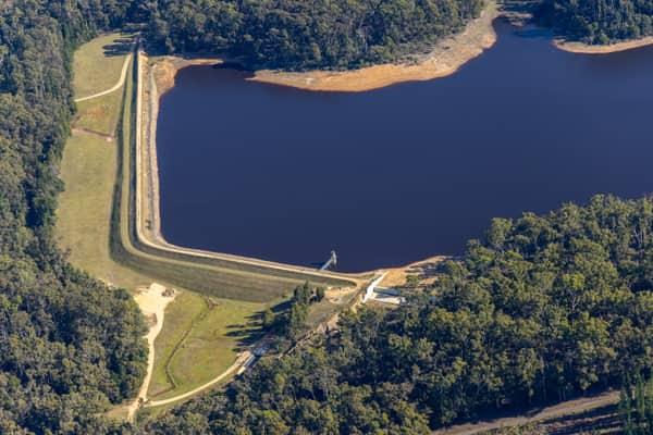
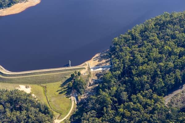
Bostock Reservoir shoreline and embankment, Spargo Creek VIC
Spargo Creek VIC 3461
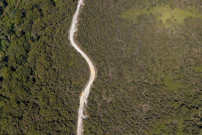
Winding bush track, Carlisle River VIC
Carlisle River VIC 3239

Green-roofed storage units, Harristown QLD
Harristown QLD 4350
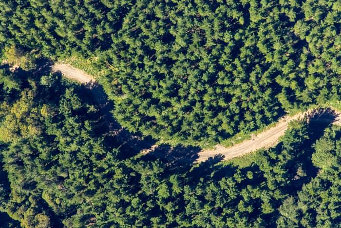
Unsealed forest track, Beech Forest VIC
Beech Forest VIC 3237
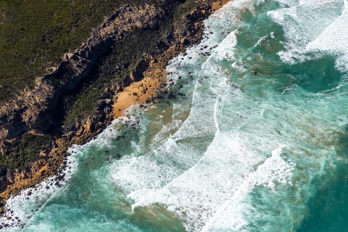
Port Campbell National Park coastline with rocky coves, Princetown VIC
Princetown VIC 3269
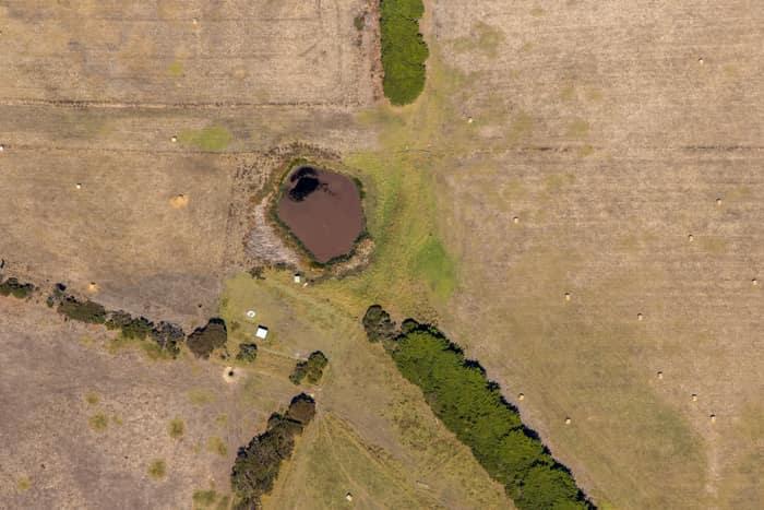
Farm dam and dry pasture, Princetown VIC
Princetown VIC 3269
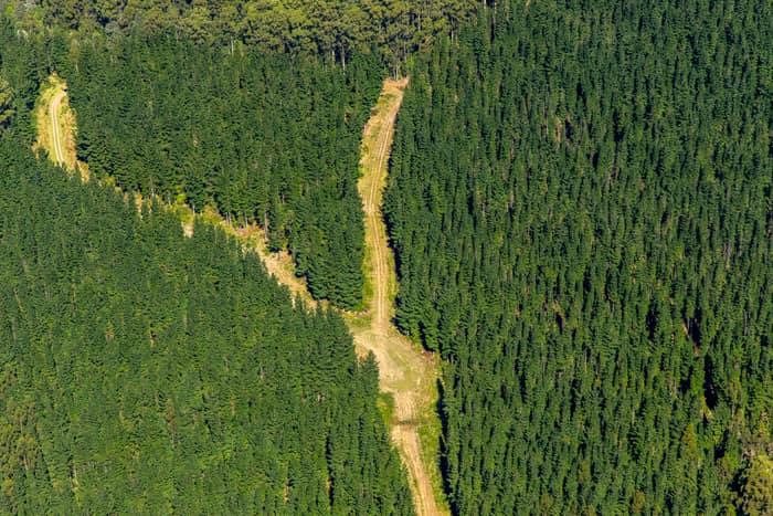
Pine plantation firebreak, Beech Forest VIC
Beech Forest VIC 3237

Wedge Park Primary School sports oval and courts, Melton West VIC
Melton West VIC 3337

Astor Place soccer field and athletics track, Melton West VIC
Melton West VIC 3337
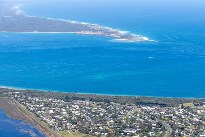
Point Lonsdale coastline, Point Lonsdale VIC
Point Lonsdale VIC 3225

Torquay coastline and residential estates, Torquay VIC
Torquay VIC 3228

Anglesea ocean cliffs and Bass Strait, Anglesea VIC
Anglesea VIC 3230

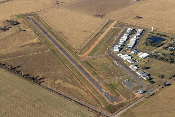
Yarrawonga Airport runway and hangars, Yarrawonga VIC
Yarrawonga VIC 3730

Split Point Lighthouse and Eagle Rock near Painkalac Creek, Aireys Inlet VIC
Aireys Inlet VIC 3231

Split Point Lighthouse and Eagle Rock above coastal beach, Aireys Inlet VIC
Aireys Inlet VIC 3231

Weller Road farmland, Lancaster VIC
Lancaster VIC 3620