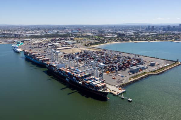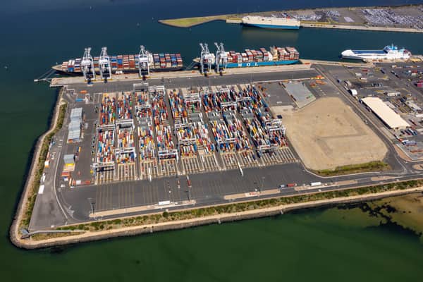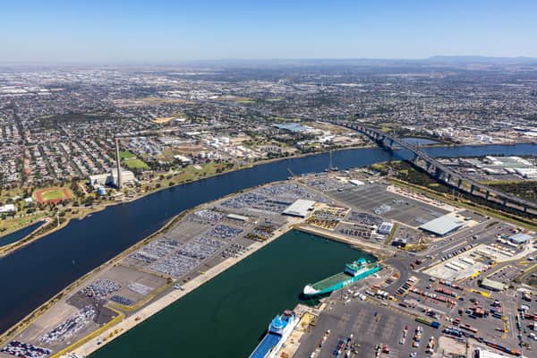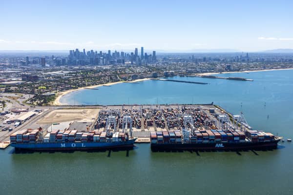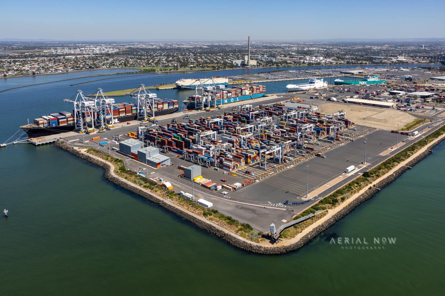
Webb Dock container terminal aerial view, Port Melbourne VIC
- Location
- Port Melbourne, Port Melbourne, VIC, 3207, AustraliaView Inner Melbourne image collection →
- View Type
- Aerial
- Project
- Webb DockView project timeline →
- Capture Date
- 7 February 2022
- Description
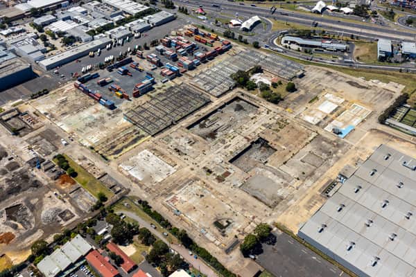
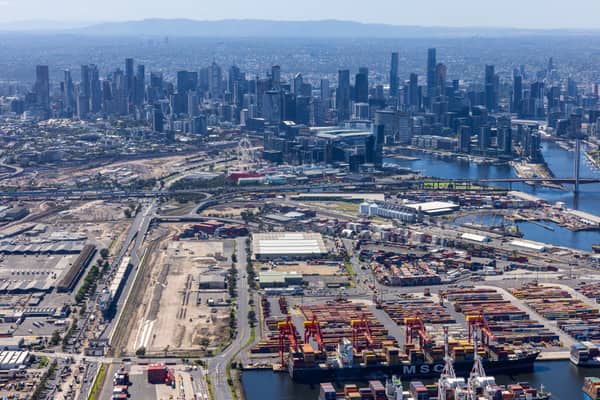
- Captured on 7 February 2022, this aerial view looks across Webb Dock East at the Port of Melbourne, where container stacks, ship-to-shore cranes, road access and working berths meet Port Phillip Bay. Webb Dock commenced operations in the 1950s as the River Entrance Dock, originally serving Tasmania and general cargo before evolving with Melbourne’s maritime trade. The modern Webb Dock East international container terminal was established in 2017; this photograph records the precinct before the Webb Dock East Extension Project was completed in January 2024. That later project restored berth capacity through wharf and hardstand works, replacement piles and berth-pocket dredging, allowing two large vessels to be accommodated at the same time. A useful record for logistics, freight, maritime infrastructure, trade and port-planning stories.
- Named Landmarks
- Webb Dock East, Port of Melbourne, Port Phillip Bay
Keywords
Buy and download
For websites, social posts, presentations and smaller digital placements.
For infrastructure, construction, reports, brochures and commercial marketing.
For higher visibility campaigns, print runs, signage and broader distribution.
Image ID: 5dfe081d
Image Details
This high-resolution archive image captures an aerial view of Webb Dock East container terminal at Port Melbourne in February 2022, with container stacks, ship-to-shore cranes, working berths and Port Phillip Bay. The scene is located around Port Melbourne, Port Melbourne, VIC, Australia. It was captured on 7 February 2022. Visible and searchable details include Webb Dock, Webb Dock East, Port of Melbourne, Port Melbourne, Victoria International Container Terminal, container terminal. The image is suited to planning and infrastructure reports, editorial use, location research, construction communications and commercial visual reference.
Suitable Uses
At a Glance
- Image ID
- 5DFE081D
- View Type
- Aerial
- Capture Date
- 7 February 2022
- Project
- Webb Dock
- Location
- Port Melbourne, Port Melbourne, VIC, 3207, Australia
- GPS
- -37.848598, 144.919555
Location Map
This image is geotagged around Port Melbourne, Port Melbourne, VIC, 3207, Australia. It forms part of the Webb Dock image collection. The map marker uses the embedded GPS position at -37.848598, 144.919555.
Photographer and Usage
Photograph by Aerial Now. This image is part of the Aerial Now archive and is available for commercial, editorial and project-related licensing. For construction progress, infrastructure documentation or a matching current aerial view, book a dedicated shoot through Aerial Now.
Related Images
More licensable imagery from related locations, projects and subjects.