
AERIAL NOW / Archive
Browse Aerial Photography
Construction, infrastructure and development aerial photography across Melbourne and Victoria.
29 images
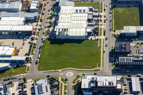
Vacant industrial land, Clyde North VIC
Clyde North VIC 3978

Suburban parkland and homes, Doncaster East VIC
Doncaster East VIC 3109
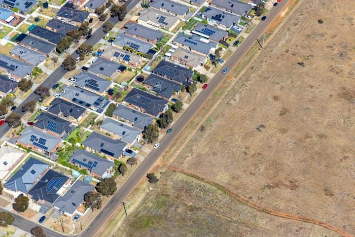
Brookfield residential estate and vacant land, Brookfield VIC
Brookfield VIC 3338
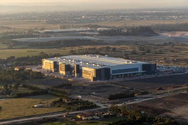
Industrial warehouse, Mickleham VIC
Mickleham VIC 3064
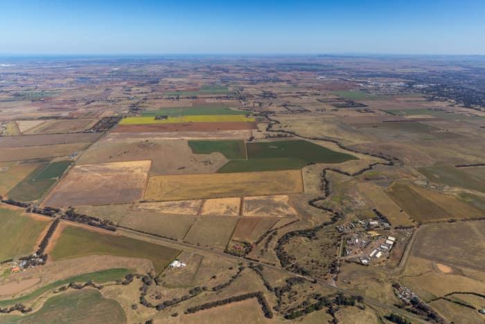
Mount Cottrell Road farmland, Melton VIC
Melton VIC 3337

Parliament House and Treasury Gardens, Melbourne VIC
East Melbourne VIC 3002

Parliament House and Spring Street, Melbourne VIC
East Melbourne VIC 3002


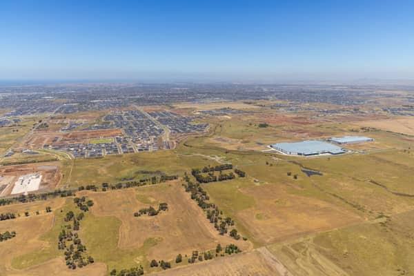
Boundary Road growth corridor aerial view, Truganina VIC
Truganina VIC 3029
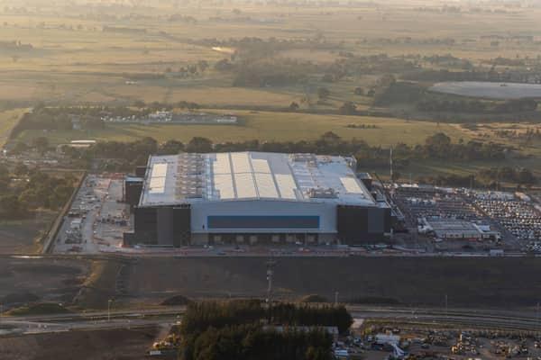
Amazon Robotics Fulfilment Centre, Craigieburn VIC
Craigieburn VIC 3064

Marsh Crescent housing estate, Sunbury VIC
Sunbury VIC 3429

Bunnings Doncaster and Westfield Doncaster aerial view, Doncaster VIC
Doncaster VIC 3108

Craigieburn Road retail and housing, Craigieburn VIC
Craigieburn VIC 3064

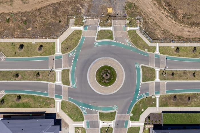
Residential estate roundabout, Mickleham VIC
Mickleham VIC 3064

Green-roofed storage units, Harristown QLD
Harristown QLD 4350
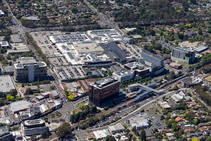
Eastland Shopping Centre, Ringwood VIC
Ringwood VIC 3134

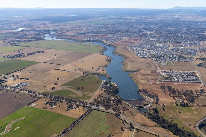
Melton Reservoir and Werribee River, Melton VIC
Melton VIC 3337

Torquay coastline and farmland, Torquay VIC
Torquay VIC 3228
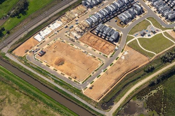
Casey Green Estate construction aerial view, Narre Warren VIC
Narre Warren VIC 3805
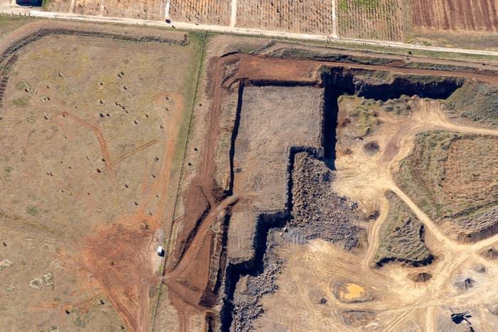
Quarry excavation and paddocks, Melton VIC
Melton VIC 3337
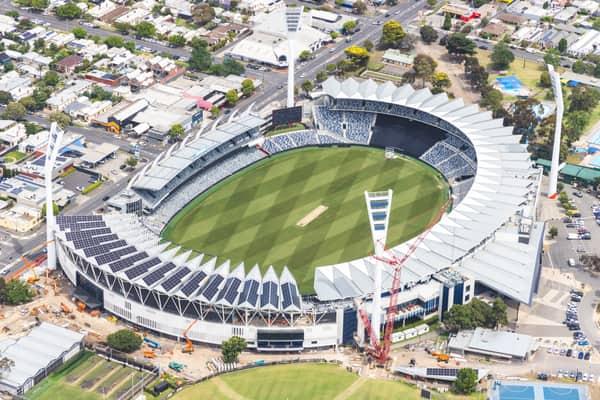

Chilworth Street housing estate, Donnybrook VIC
Donnybrook VIC 3064
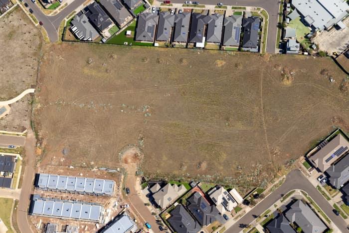
Agate Drive residential development site, Tarneit VIC
Tarneit VIC 3029

Apollo Bay Beach and residential streets, Apollo Bay VIC
Apollo Bay VIC 3233

Bethnal Avenue residential estate, Wollert VIC
Wollert VIC 3750
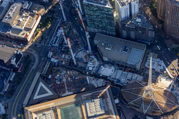
Melbourne Arts Precinct Transformation, Southbank VIC
Southbank VIC 3006