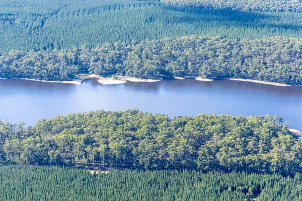
AERIAL NOW / Archive
Browse Aerial Photography
Construction, infrastructure and development aerial photography across Melbourne and Victoria.
25 images
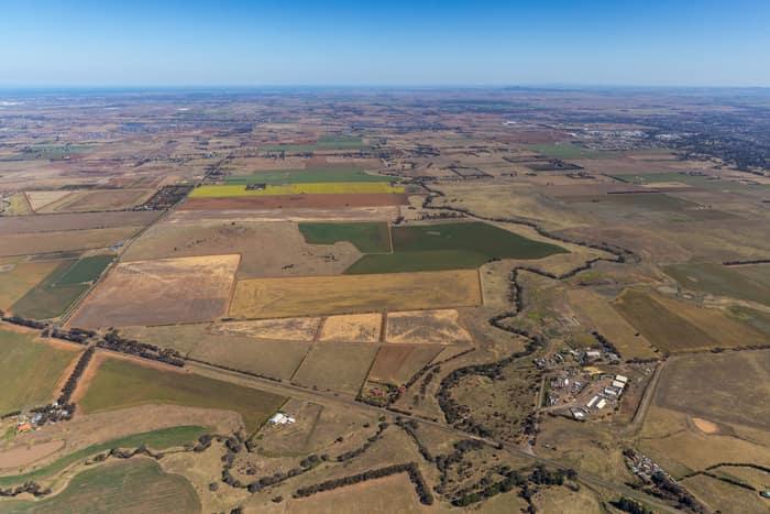
Mount Cottrell Road farmland, Melton VIC
Melton VIC 3337
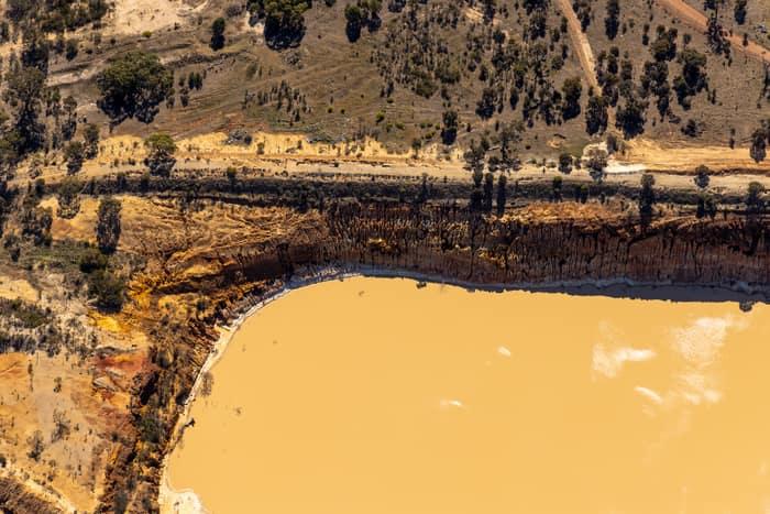
Water storage dam and earthworks, Melton VIC
Melton VIC 3337
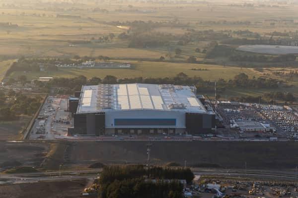
Amazon Robotics Fulfilment Centre, Craigieburn VIC
Craigieburn VIC 3064

Murray River bend through dense native woodland, Boomanoomana NSW
Boomanoomana NSW 2712

Murray River bend beside farmland and woodland, Cobram East VIC
Cobram East VIC 3644

Wooded river bend, Boomanoomana NSW
Boomanoomana NSW 2712

Centre pivot canola field, Wyuna VIC
Wyuna VIC 3620
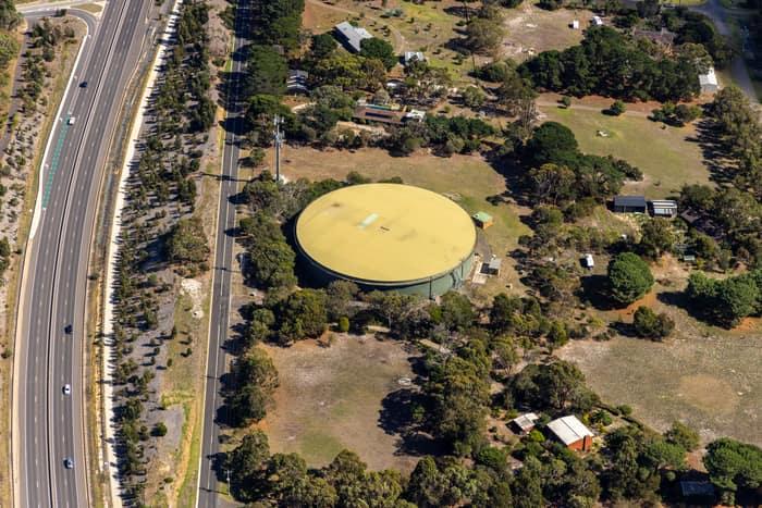
Water storage tank, Andersons Road Drysdale VIC
Drysdale VIC 3222
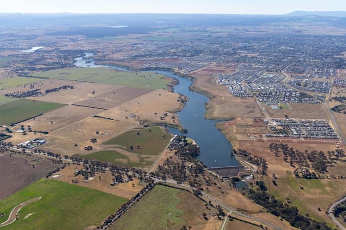
Melton Reservoir and Werribee River, Melton VIC
Melton VIC 3337

Apollo Bay township and coastline, Apollo Bay VIC
Apollo Bay VIC 3233

Weller Road farmland, Lancaster VIC
Lancaster VIC 3620
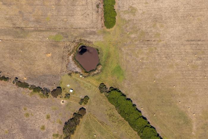
Farm dam and dry pasture, Princetown VIC
Princetown VIC 3269

Torquay coastline and residential estates, Torquay VIC
Torquay VIC 3228
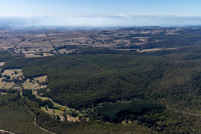
Otway forest and farmland, Forrest VIC
Barwon Downs VIC 3243
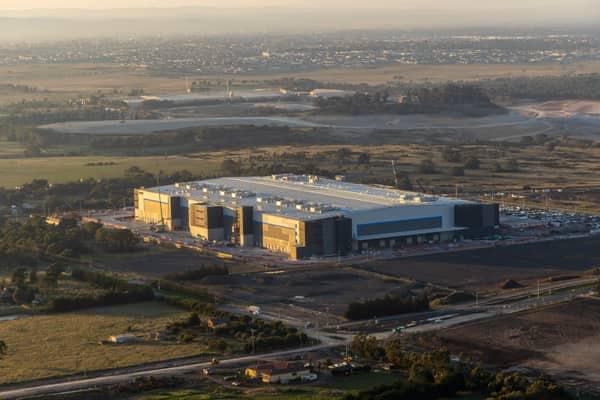
Industrial warehouse, Mickleham VIC
Mickleham VIC 3064

Murray River bend through river red gum woodland, Cobram East VIC
Cobram East VIC 3644

Orchard rows and farm track, Cobram VIC
Cobram VIC 3644
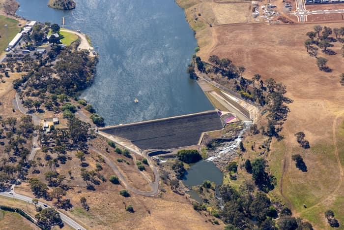
Melton Reservoir dam wall, Melton VIC
Melton VIC 3337

Torquay coastline and farmland, Torquay VIC
Torquay VIC 3228

Apollo Bay township and harbour, Apollo Bay VIC
Apollo Bay VIC 3233

Farm dam and farmland, Bannockburn VIC
Bannockburn VIC 3331

Murray River bend beside agricultural paddocks, Boomanoomana NSW
Boomanoomana NSW 2712

Murray River point bar, Cobram East VIC
Cobram East VIC 3644

Apollo Bay coastline and farmland, Apollo Bay VIC
Apollo Bay VIC 3233