
AERIAL NOW / Archive
Browse Aerial Photography
Construction, infrastructure and development aerial photography across Melbourne and Victoria.
26 images
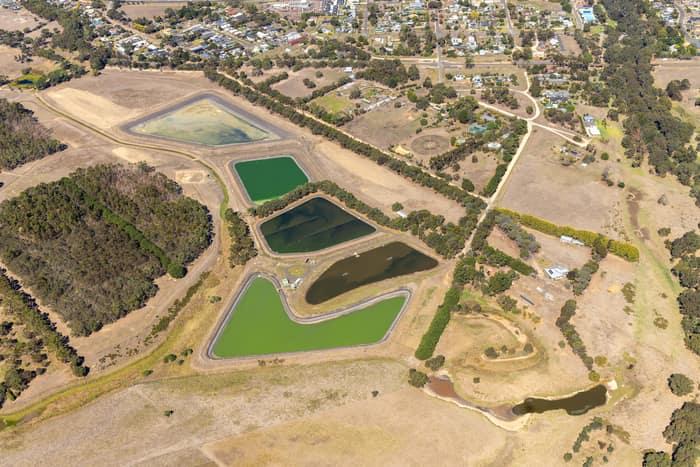
Wastewater treatment ponds, Winchelsea VIC
Winchelsea VIC 3241
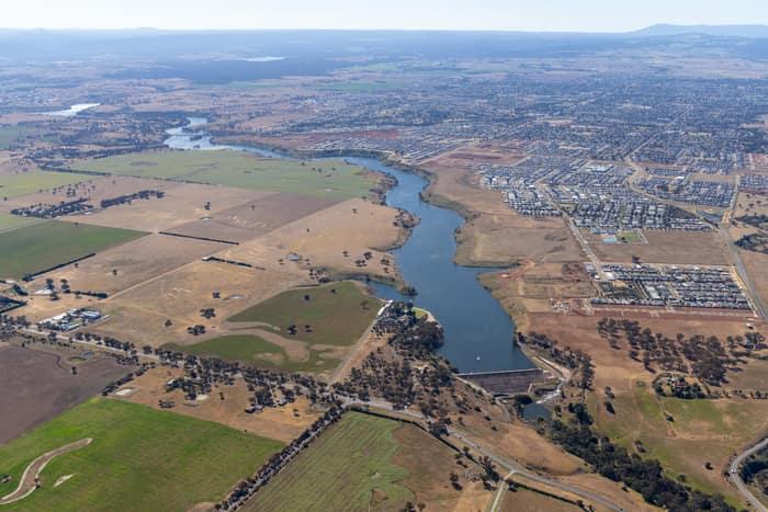
Melton Reservoir and Werribee River, Melton VIC
Melton VIC 3337
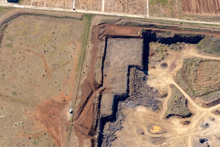
Quarry excavation and paddocks, Melton VIC
Melton VIC 3337
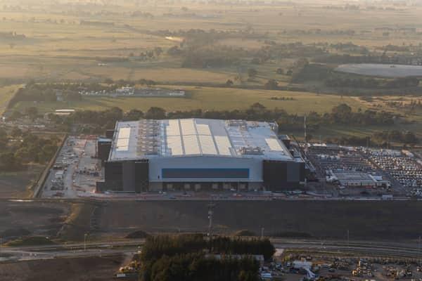
Amazon Robotics Fulfilment Centre, Craigieburn VIC
Craigieburn VIC 3064
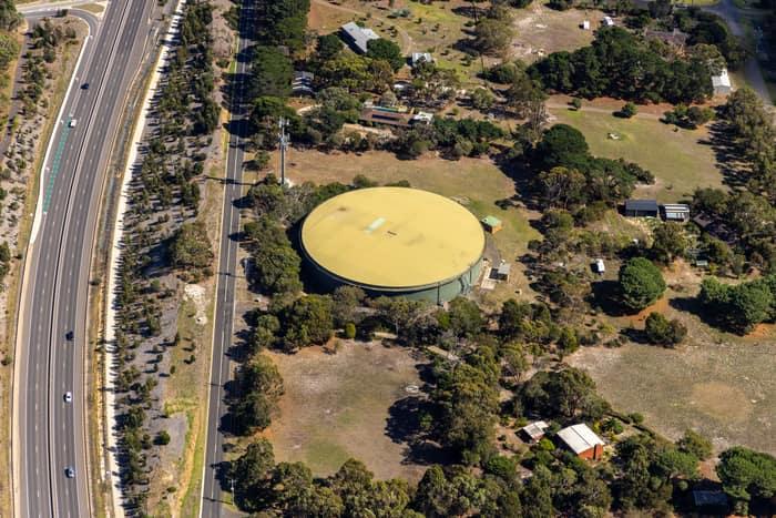
Water storage tank, Andersons Road Drysdale VIC
Drysdale VIC 3222
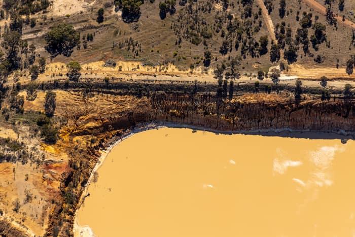
Water storage dam and earthworks, Melton VIC
Melton VIC 3337
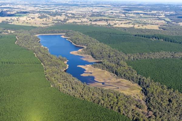
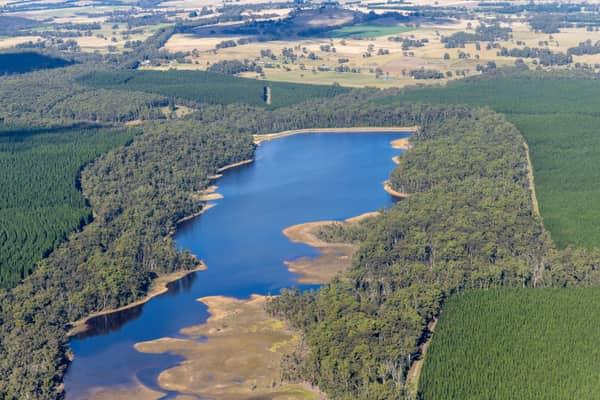
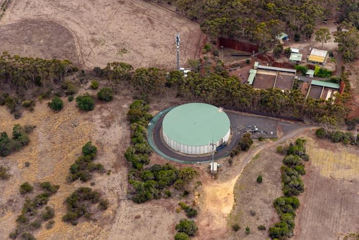
Mount Duneed water storage tank, Mount Duneed VIC
Mount Duneed VIC 3217
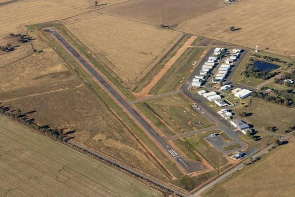
Yarrawonga Airport runway and hangars, Yarrawonga VIC
Yarrawonga VIC 3730
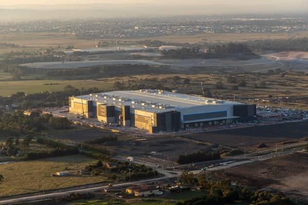
Industrial warehouse, Mickleham VIC
Mickleham VIC 3064
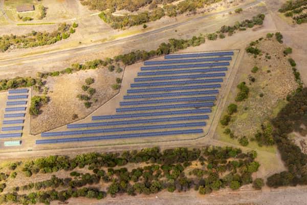
Black Rock Solar Farm arrays, Connewarre VIC
Connewarre VIC 3227
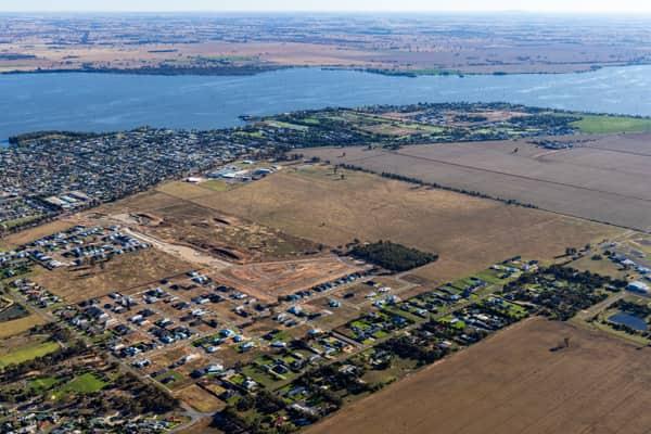
Lake Mulwala residential subdivision, Yarrawonga VIC
Yarrawonga VIC 3730
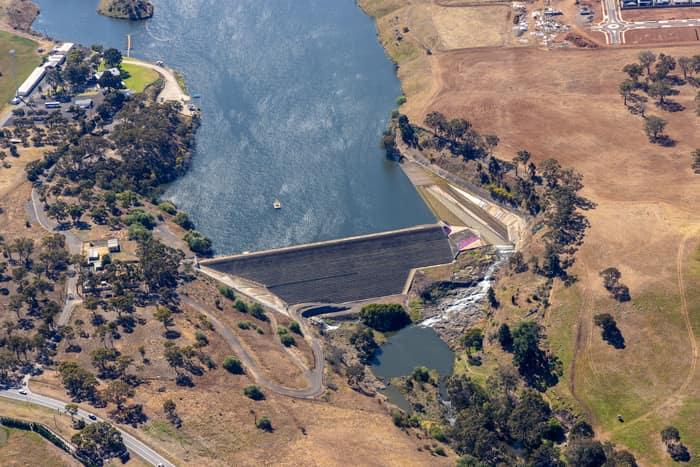
Melton Reservoir dam wall, Melton VIC
Melton VIC 3337
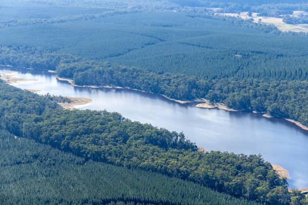
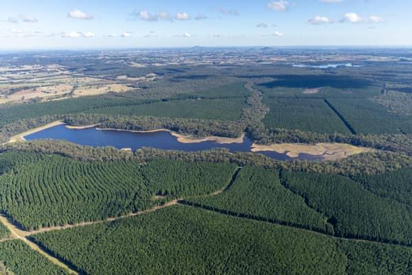
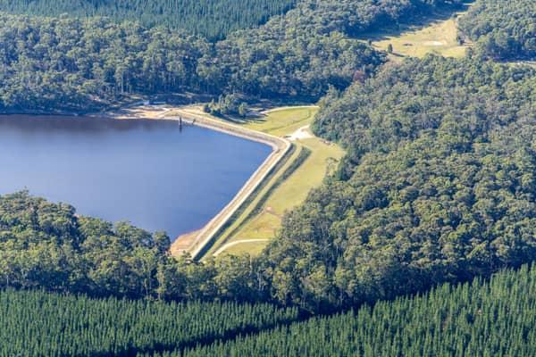
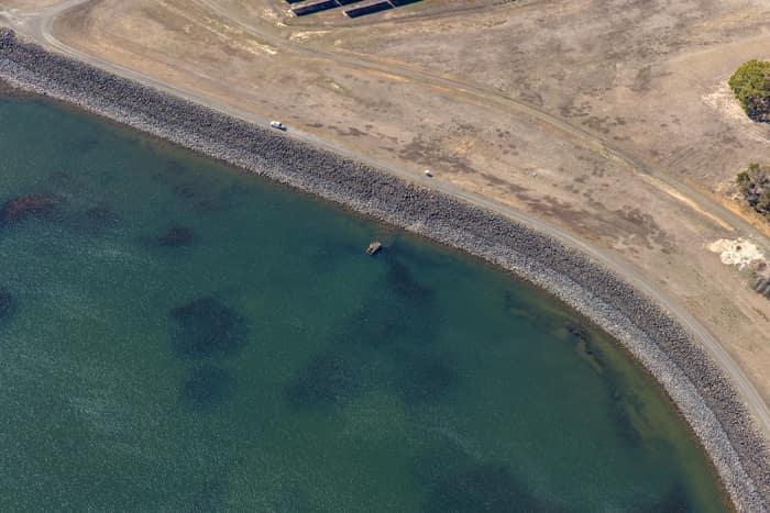
Wurdee Boluc Reservoir shoreline, Wurdiboluc VIC
Wurdiboluc VIC 3241
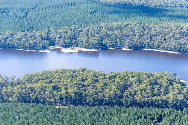
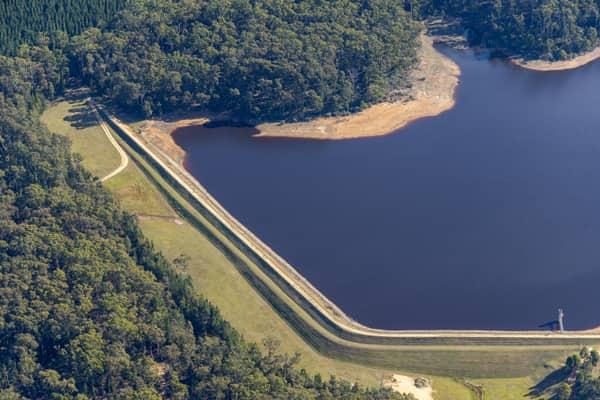
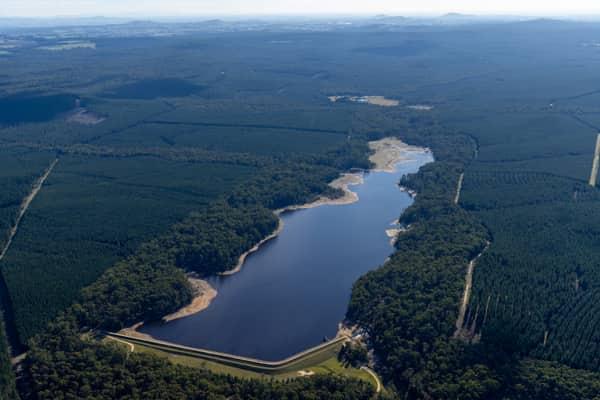
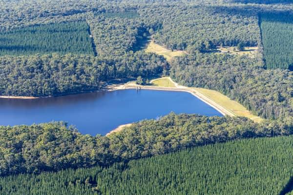
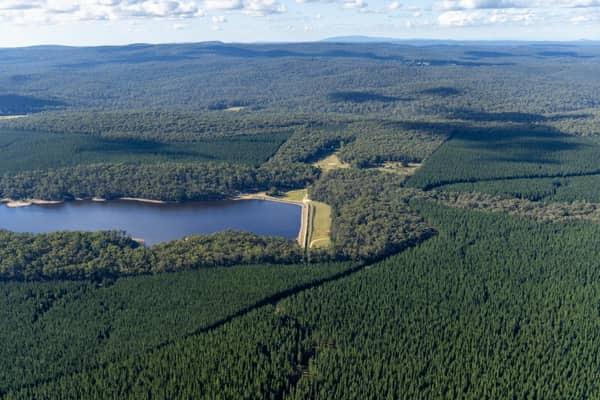
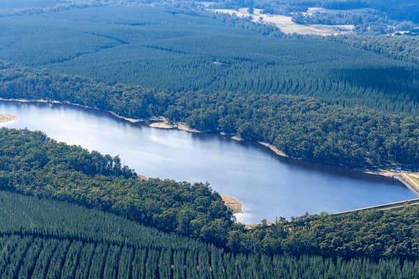
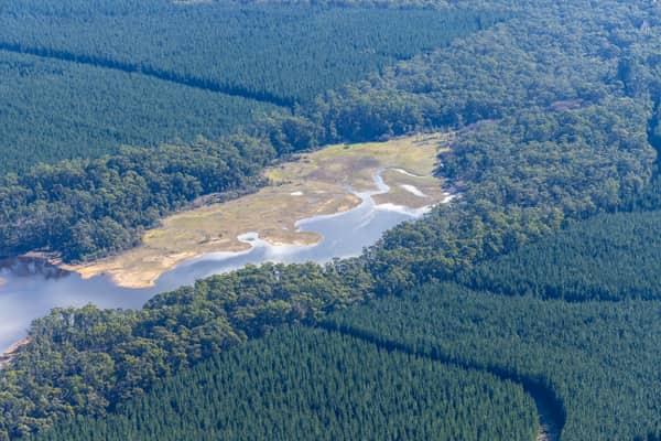
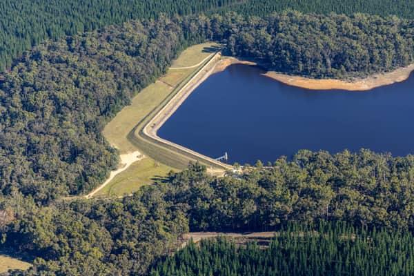
Bostock Reservoir embankment and shoreline, Spargo Creek VIC
Spargo Creek VIC 3461