
AERIAL NOW / Archive
Browse Aerial Photography
Construction, infrastructure and development aerial photography across Melbourne and Victoria.
34 images

Anglesea coastline and residential area, Anglesea VIC
Anglesea VIC 3230
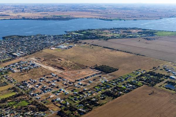
Lake Mulwala residential subdivision, Yarrawonga VIC
Yarrawonga VIC 3730
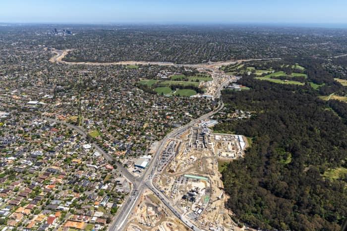
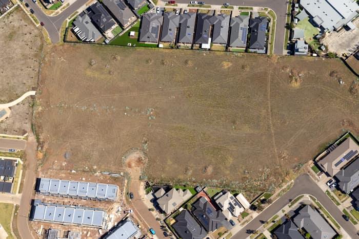
Agate Drive residential development site, Tarneit VIC
Tarneit VIC 3029

Apollo Bay Beach and residential streets, Apollo Bay VIC
Apollo Bay VIC 3233

Anglesea coastline and residential estates, Anglesea VIC
Anglesea VIC 3230

Torquay coastline and residential estates, Torquay VIC
Torquay VIC 3228
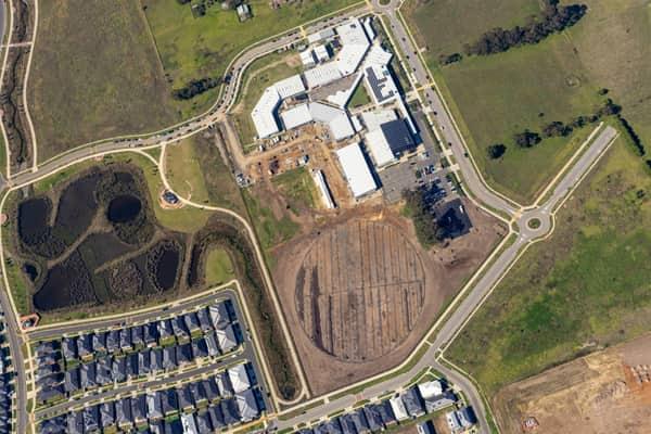
Clyde Secondary College expansion works, Clyde VIC
Clyde VIC 3978
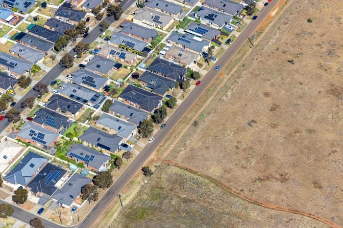
Brookfield residential estate and vacant land, Brookfield VIC
Brookfield VIC 3338

North East Link construction with road realignments, Heidelberg VIC
Heidelberg VIC 3084

Somerton rail freight terminal and gantry cranes, VIC
Somerton VIC 3062
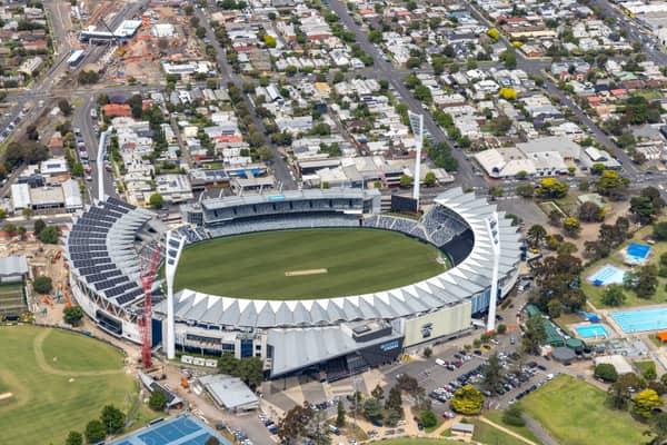

Apollo Bay Harbour and township, Apollo Bay VIC
Apollo Bay VIC 3233

Fairhaven Beach coastline, Fairhaven VIC
Fairhaven VIC 3231


Apollo Bay township and harbour, Apollo Bay VIC
Apollo Bay VIC 3233
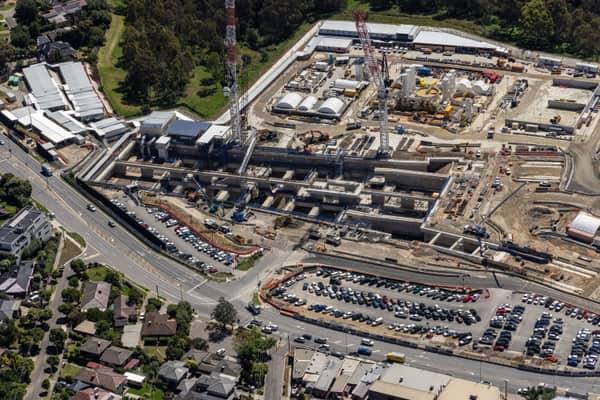
North East Link construction beside Bulleen Road, Bulleen VIC
Bulleen VIC 3105
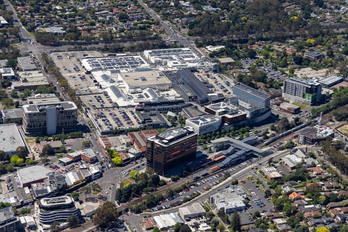
Eastland Shopping Centre, Ringwood VIC
Ringwood VIC 3134

Union Road rail corridor construction, Somerton VIC
Somerton VIC 3062

Eastern Freeway interchange construction, Balwyn North VIC
Balwyn North VIC 3104


Pacific Werribee shopping centre, Werribee VIC
Werribee VIC 3030


Suburban parkland and homes, Doncaster East VIC
Doncaster East VIC 3109

Light Horse Circuit housing estate, Sunbury VIC
Sunbury VIC 3429

Somerton Intermodal Terminal construction aerial view, VIC
Somerton VIC 3062

Astor Place soccer field and athletics track, Melton West VIC
Melton West VIC 3337
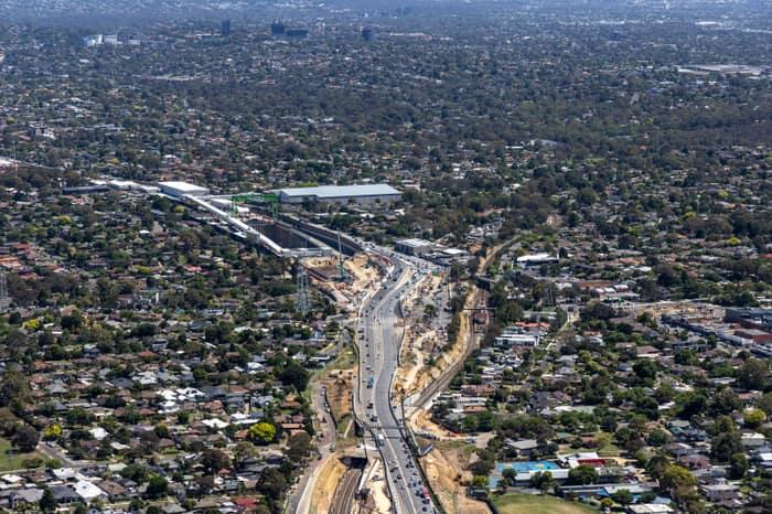
North East Link construction around Greensborough Road, Watsonia VIC
Watsonia VIC 3087
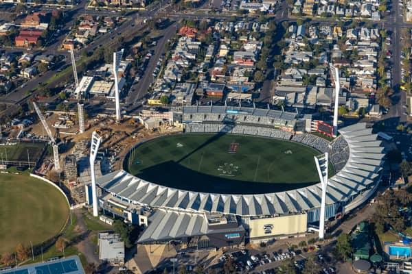
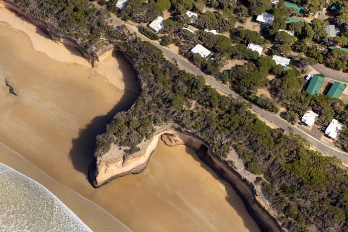
Point Roadknight cliffs and beach, Anglesea VIC
Anglesea VIC 3230

Fishermans Beach and The Esplanade, Torquay VIC
Torquay VIC 3228
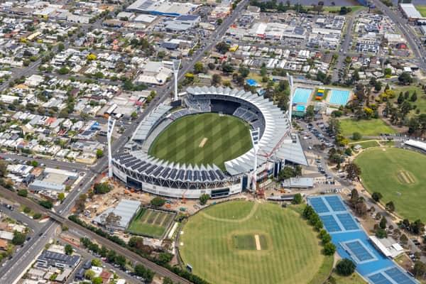

Apollo Bay Harbour and township with curved beach, Apollo Bay VIC
Apollo Bay VIC 3233