
AERIAL NOW / Archive
Browse Aerial Photography
Construction, infrastructure and development aerial photography across Melbourne and Victoria.
21 images
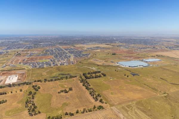
Boundary Road growth corridor aerial view, Truganina VIC
Truganina VIC 3029
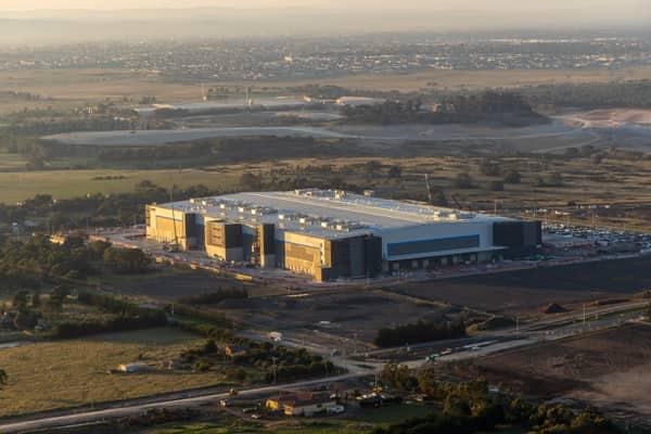
Industrial warehouse, Mickleham VIC
Mickleham VIC 3064

Murray River bend through red gum forest, Cobram East VIC
Cobram East VIC 3644


Apollo Bay Beach and residential streets, Apollo Bay VIC
Apollo Bay VIC 3233
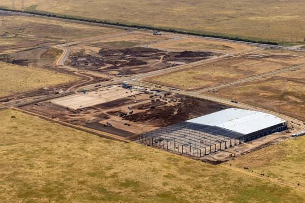

Suburban parkland and homes, Doncaster East VIC
Doncaster East VIC 3109
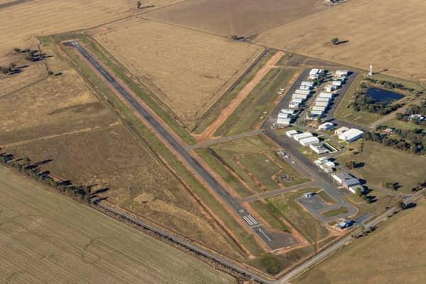
Yarrawonga Airport runway and hangars, Yarrawonga VIC
Yarrawonga VIC 3730

Apollo Bay Harbour and township, Apollo Bay VIC
Apollo Bay VIC 3233

Anglesea coastline and residential area, Anglesea VIC
Anglesea VIC 3230

Torquay coastline and residential estates, Torquay VIC
Torquay VIC 3228

Craigieburn Road and Craigieburn Central, Craigieburn VIC
Craigieburn VIC 3064

Bunnings Doncaster and Westfield Doncaster aerial view, Doncaster VIC
Doncaster VIC 3108

Chilworth Street housing estate, Donnybrook VIC
Donnybrook VIC 3064
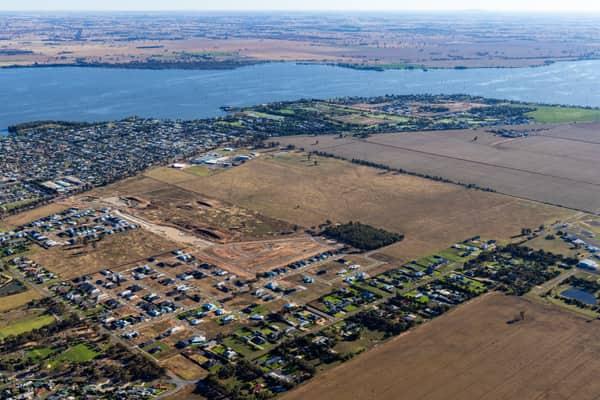
Lake Mulwala residential subdivision, Yarrawonga VIC
Yarrawonga VIC 3730
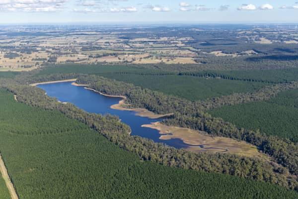
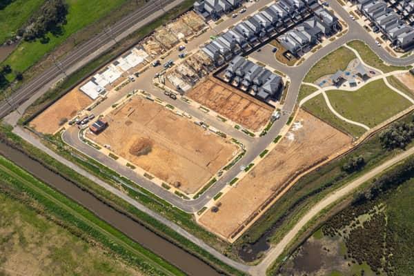
Casey Green Estate construction aerial view, Narre Warren VIC
Narre Warren VIC 3805
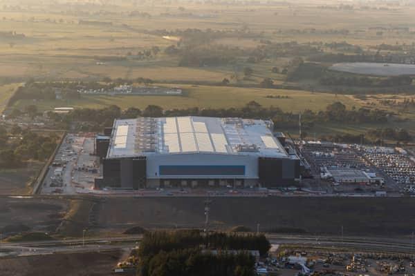
Amazon Robotics Fulfilment Centre, Craigieburn VIC
Craigieburn VIC 3064

Apollo Bay Harbour and township with marina berths, Apollo Bay VIC
Apollo Bay VIC 3233

Craigieburn Road retail and housing, Craigieburn VIC
Craigieburn VIC 3064
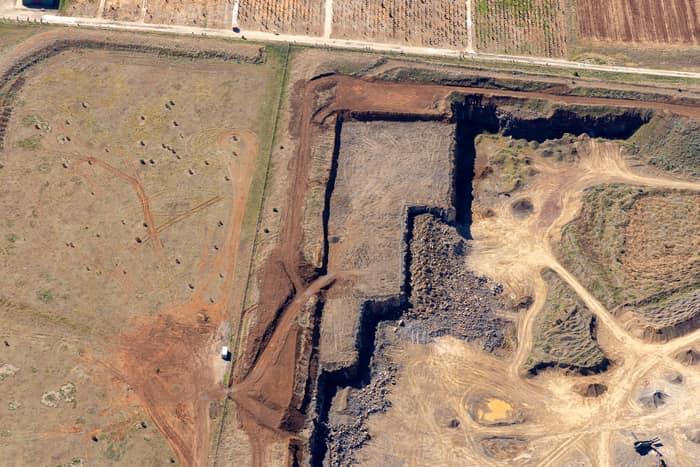
Quarry excavation and paddocks, Melton VIC
Melton VIC 3337