AERIAL NOW / Archive
Browse Aerial Photography
Construction, infrastructure and development aerial photography across Melbourne and Victoria.
32 images

Murray River bend through dense native woodland, Boomanoomana NSW
Boomanoomana NSW 2712

Murray River bend beside farmland and woodland, Cobram East VIC
Cobram East VIC 3644

Apollo Bay Beach and residential streets, Apollo Bay VIC
Apollo Bay VIC 3233
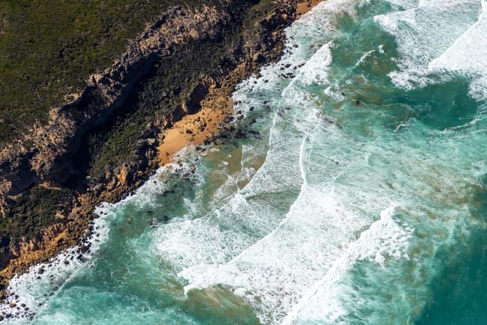
Port Campbell National Park coastline with rocky coves, Princetown VIC
Princetown VIC 3269

Bells Beach coastline, Bells Beach VIC
Bells Beach VIC 3228

Chilworth Street housing estate, Donnybrook VIC
Donnybrook VIC 3064

Bethnal Avenue residential estate, Wollert VIC
Wollert VIC 3750

Murray River bend with a sandy point bar, Cobram East VIC
Cobram East VIC 3644

Meandering river and woodland, Boomanoomana NSW
Boomanoomana NSW 2712

Apollo Bay township and coastline, Apollo Bay VIC
Apollo Bay VIC 3233

Split Point Lighthouse and Eagle Rock above coastal beach, Aireys Inlet VIC
Aireys Inlet VIC 3231

Apollo Bay Harbour and township with curved beach, Apollo Bay VIC
Apollo Bay VIC 3233
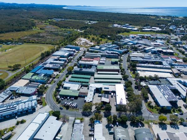
Centennial Circuit industrial estate, Byron Bay NSW
Byron Bay NSW 2481

Pumicestone Passage waterfront, Caloundra QLD
Caloundra QLD 4551

Caloundra Airport aircraft apron, Caloundra West QLD
Caloundra West QLD 4551
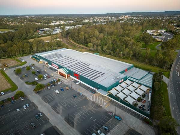
Bunnings Warehouse Taree, Taree NSW
Taree NSW 2430
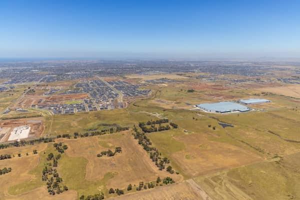
Boundary Road growth corridor aerial view, Truganina VIC
Truganina VIC 3029

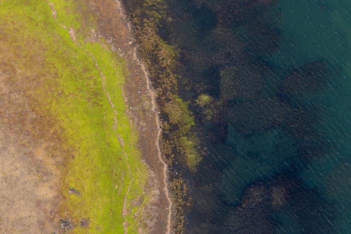
Lake Modewarre shoreline with grassy foreshore, Modewarre VIC
Wurdiboluc VIC 3241
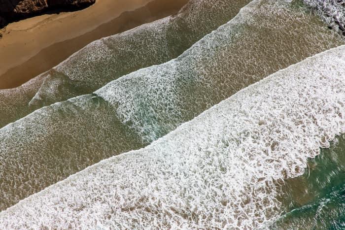
Surf breaking on sandy beach, Anglesea VIC
Anglesea VIC 3230
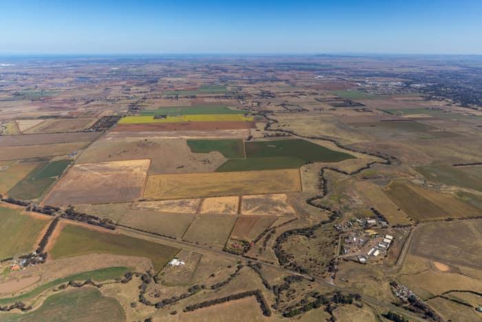
Mount Cottrell Road farmland, Melton VIC
Melton VIC 3337
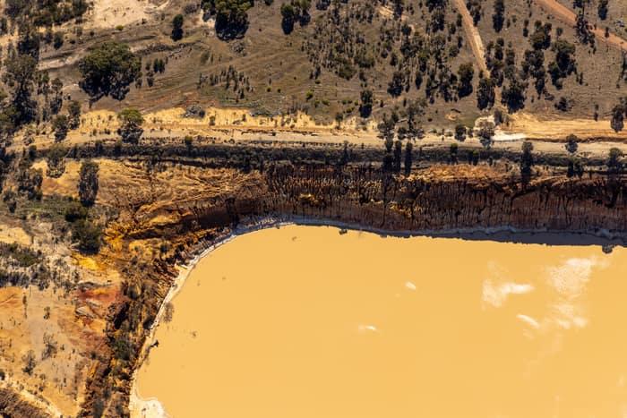
Water storage dam and earthworks, Melton VIC
Melton VIC 3337

Anglesea River mouth and Anglesea Beach, Anglesea VIC
Anglesea VIC 3230
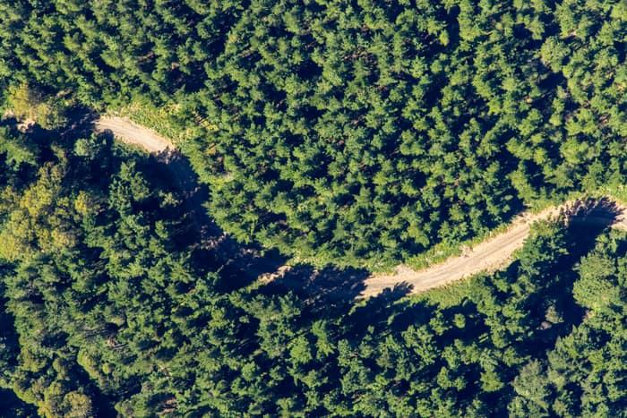
Unsealed forest track, Beech Forest VIC
Beech Forest VIC 3237
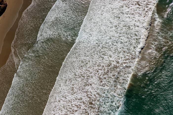
Surf breaking on coastline, Anglesea VIC
Anglesea VIC 3230
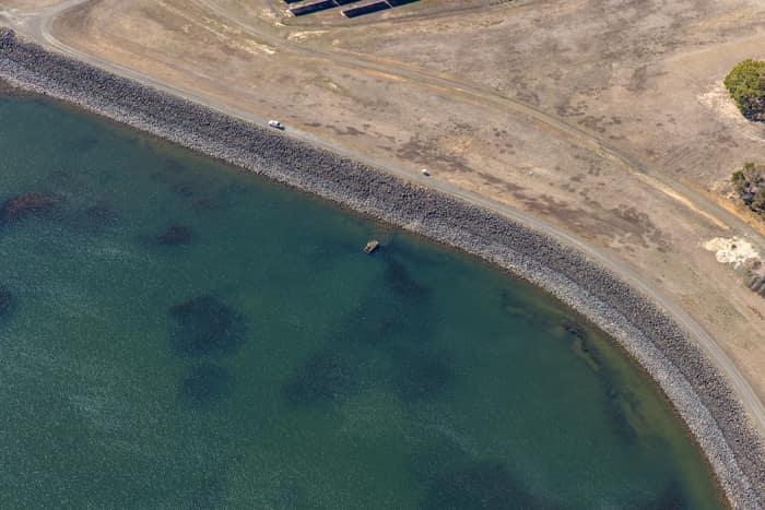
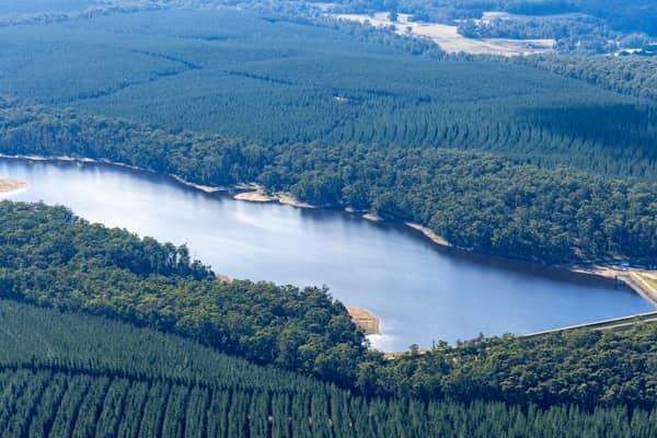
Wurdee Boluc Reservoir shoreline, Wurdiboluc VIC
Wurdiboluc VIC 3241
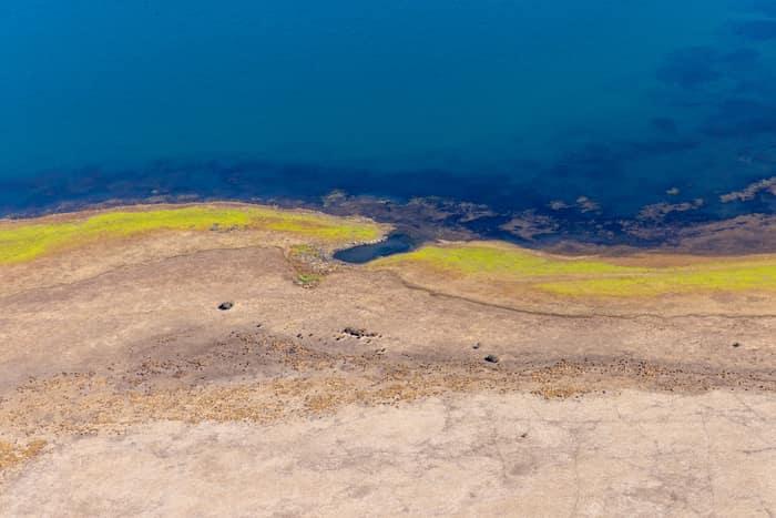
Lake Modewarre shoreline with exposed shoreline, Modewarre VIC
Wurdiboluc VIC 3241
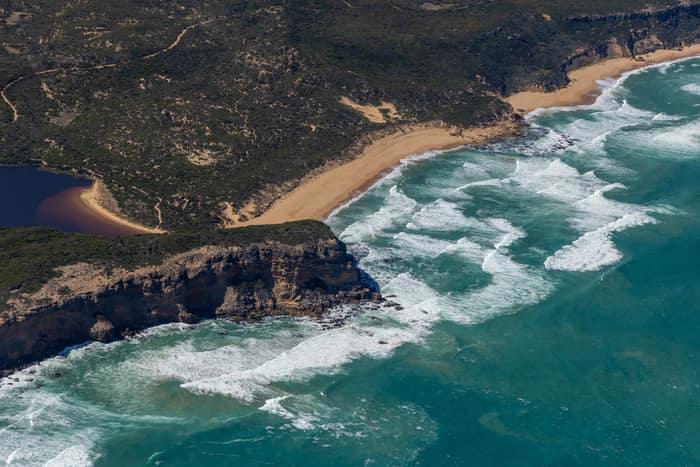
Princetown coastline and estuary, Princetown VIC
Princetown VIC 3269

Murray River point bar, Cobram East VIC
Cobram East VIC 3644

Painkalac Creek estuary, Aireys Inlet VIC
Fairhaven VIC 3231

Farm dam and farmland, Bannockburn VIC
Bannockburn VIC 3331