Aerial Now

High-resolution aerial photography for construction progress, infrastructure projects and development documentation across Melbourne and Victoria.

Copyright Aerial Now. Images may not be copied, downloaded or reproduced without a licence.

Archive

Browse archiveProjectsLocationsMapLicensing

Aerial Now

Main websiteBook a shootRequest licenceClient portalPrivacy policy
Aerial Now
Client PortalBook a shoot
BrowseProjectsLocationsMapLicensingClient Portal
AERIAL NOW / Archive

Browse Aerial Photography

Construction, infrastructure and development aerial photography across Melbourne and Victoria.

34 images
Aerial view of a bright yellow centre pivot crop field with circular tractor tracks near Wyuna in Victoria.
Centre pivot canola field, Wyuna VIC
Wyuna VIC 3620
Aerial view of a soccer field with goalposts, player groups and a surrounding red athletics track near Astor Place in Melton West, Victoria.
Astor Place soccer field and athletics track, Melton West VIC
Melton West VIC 3337
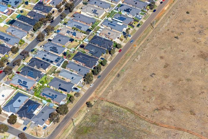
Aerial view of a Brookfield residential estate with solar-panelled houses beside a road and adjoining vacant dry grassland in Victoria.
Brookfield residential estate and vacant land, Brookfield VIC
Brookfield VIC 3338
Aerial view of the North East Link construction worksite beside green sports fields and parkland near Balwyn Road in Bulleen, Victoria.
North East Link worksite beside sports fields, Bulleen VIC
Bulleen VIC 3105
Aerial view of North East Link construction works with road infrastructure, work zones, car parks and sports fields in Bulleen, Victoria.
North East Link construction with sports fields, Bulleen VIC
Bulleen VIC 3105
View project timeline →
Aerial view of Bunnings Doncaster and the Mercure Melbourne Doncaster beside Westfield Doncaster, showing Doncaster Road, car parks, apartment buildings, traffic and the surrounding retail precinct.
Bunnings Doncaster and Westfield Doncaster aerial view, Doncaster VIC
Doncaster VIC 3108
Aerial view of Westfield Doncaster shopping centre with rooftop car parks, surrounding apartment buildings, Doncaster Road and suburban streets in Doncaster, Victoria.
Westfield Doncaster shopping centre with rooftop parking, Doncaster VIC
Doncaster VIC 3108
Aerial view of Westfield Doncaster in Doncaster VIC, showing rooftop parking, surrounding commercial buildings, Doncaster Road traffic and nearby intersections.
Westfield Doncaster shopping centre with arterial roads, Doncaster VIC
Doncaster VIC 3108
Aerial view of Westfield Doncaster beside the Doncaster Road and Williamsons Road intersection, with traffic, car parks and surrounding commercial buildings visible.
Westfield Doncaster and Doncaster Road intersection, Doncaster VIC
Doncaster VIC 3108
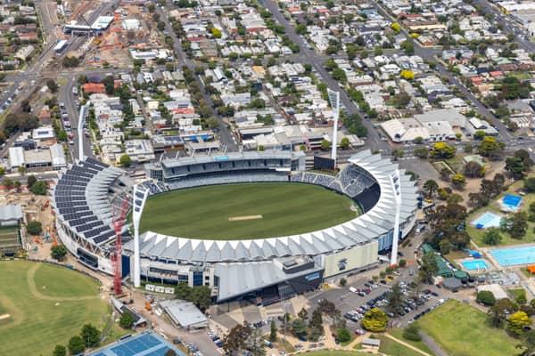
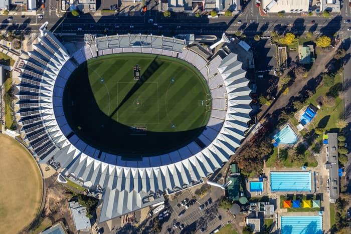
Aerial view of GMHBA Stadium within Kardinia Park in South Geelong, with grandstands, the oval, surrounding car parks, sports fields and residential streets visible.
GMHBA Stadium and sports fields, South Geelong VIC
South Geelong VIC 3220
View project timeline →
Aerial view of GMHBA Stadium at Kardinia Park in South Geelong, showing the oval playing field, grandstands, surrounding streets, car parks and nearby swimming pools.
GMHBA Stadium at Kardinia Park, South Geelong VIC
South Geelong VIC 3220
View project timeline →
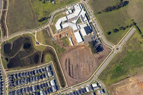
Aerial view of Clyde Secondary College on Woodfield Avenue in Clyde, showing campus buildings, hardcourts, car parking, earthworks and a prepared sports oval area beside nearby residential streets.
Clyde Secondary College expansion works, Clyde VIC
Clyde VIC 3978
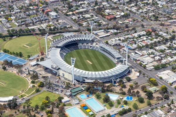
Aerial view of GMHBA Stadium within Kardinia Park in South Geelong, showing the oval, grandstands, light towers, surrounding streets, sports fields and Kardinia Aquatic Centre pools.
GMHBA Stadium and Kardinia Park, South Geelong VIC
South Geelong VIC 3220
View project timeline →
Aerial view of North East Link construction works beside Bulleen Park, showing a cricket oval, synthetic sports fields, roads, trees and nearby residential streets in Bulleen VIC.
North East Link construction beside Bulleen Park, Bulleen VIC
Bulleen VIC 3105
Aerial view of North East Link construction works in Bulleen, showing major road corridors, earthworks, sporting fields, parkland and surrounding suburban streets.
North East Link construction at interchange works, Bulleen VIC
Bulleen VIC 3105
Aerial view of Eastern Freeway and Bulleen Road interchange construction in Balwyn North, with traffic, work zones, sports fields and residential streets around the site.
Eastern Freeway interchange construction, Balwyn North VIC
Balwyn North VIC 3104
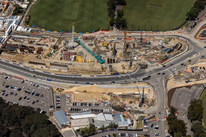
Aerial view of North East Link construction works along Bulleen Road in Bulleen, with cranes, roadworks, traffic lanes, car parks and sports fields visible.
North East Link works along Bulleen Road, Bulleen VIC
Bulleen VIC 3105
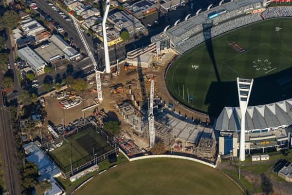
Aerial view of GMHBA Stadium and Kardinia Park in South Geelong with tower cranes, construction works, grandstands and surrounding sports fields visible.
GMHBA Stadium crane works, South Geelong VIC
South Geelong VIC 3220
View project timeline →
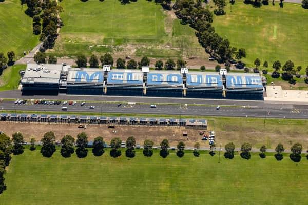
Aerial view of the Albert Park Circuit pit building beside Aughtie Drive in Albert Park, with MELBOURNE roof lettering, parked cars and surrounding sports fields.
Albert Park Circuit pit building, Albert Park VIC
Melbourne Victoria
Aerial view of the sports oval, running track markings and blue hard courts beside Wedge Park Primary School on Cambrian Way in Melton West, Victoria.
Wedge Park Primary School sports oval and courts, Melton West VIC
Melton West VIC 3337
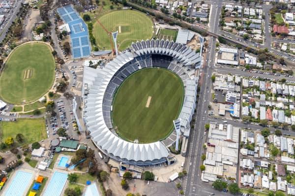
Aerial view of GMHBA Stadium at Kardinia Park in South Geelong, with the oval, grandstands, nearby sports fields, tennis courts, streets and surrounding residential blocks visible.
GMHBA Stadium and Kardinia Park courts, South Geelong VIC
South Geelong VIC 3220
View project timeline →
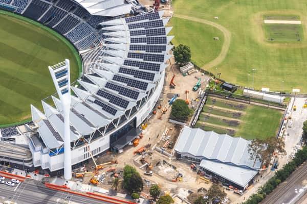
Aerial view of GMHBA Stadium at Kardinia Park in South Geelong, showing grandstands with rooftop solar panels, construction works and surrounding sports fields.
GMHBA Stadium redevelopment and rooftop solar, South Geelong VIC
South Geelong VIC 3220
View project timeline →
Aerial view of North East Link construction works around the Eastern Freeway in Bulleen, with major roadworks, bridges, suburban housing, sports fields and parkland visible.
North East Link construction and Eastern Freeway, Bulleen VIC
Bulleen VIC 3105
Aerial view of road and bridge construction beside sports fields, car parks and surrounding streets in Balwyn North, Victoria.
Road and bridge construction, Balwyn North VIC
Balwyn North VIC 3104
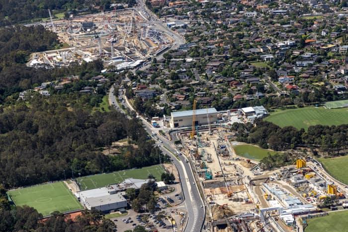
Aerial view of North East Link construction works along Bulleen Road in Bulleen, with cranes, work compounds, sports fields, bushland and surrounding residential streets visible.
North East Link construction and Bulleen Road by recreation grounds, Bulleen VIC
Bulleen VIC 3105
Aerial view of North East Link construction works beside the Eastern Freeway in Balwyn North, with traffic, roadworks, residential streets and sports fields visible.
North East Link construction, Balwyn North VIC
Balwyn North VIC 3104
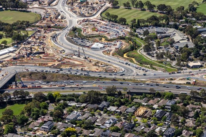
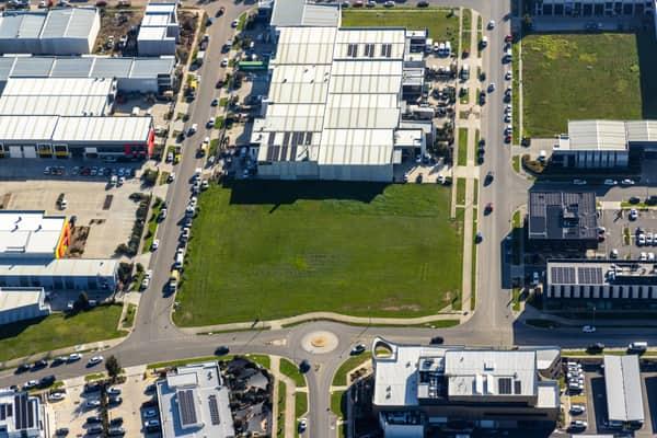
Aerial view of a vacant industrial land parcel surrounded by warehouses, commercial buildings, car parks and a roundabout in Clyde North, Victoria.
Vacant industrial land, Clyde North VIC
Clyde North VIC 3978
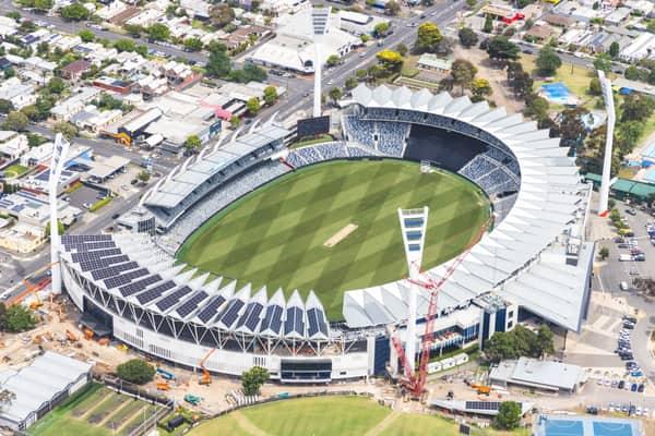
Aerial view of GMHBA Stadium at Kardinia Park in South Geelong, showing the oval, grandstands, cranes and redevelopment works beside surrounding streets and parkland.
GMHBA Stadium redevelopment, South Geelong VIC
South Geelong VIC 3220
View project timeline →
Aerial view of modern houses, vacant lots and local streets around Chilworth Street in Donnybrook VIC.
Chilworth Street housing estate, Donnybrook VIC
Donnybrook VIC 3064
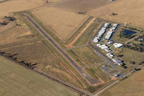
Aerial view of Yarrawonga Airport in Yarrawonga VIC, showing the runway, taxiways, hangars, apron areas and surrounding rural farmland.
Yarrawonga Airport runway and hangars, Yarrawonga VIC
Yarrawonga VIC 3730
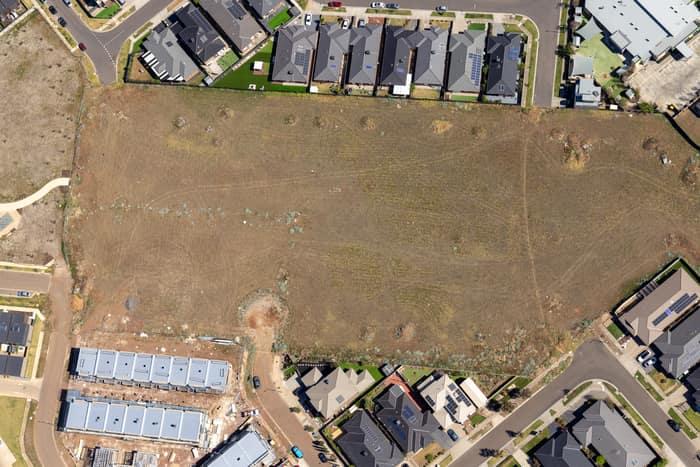
Aerial view of a vacant residential development site beside Agate Drive in Tarneit, Victoria, surrounded by new houses, roads and construction activity.
Agate Drive residential development site, Tarneit VIC
Tarneit VIC 3029
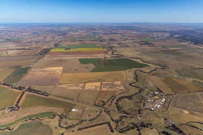
Aerial view of farmland and paddocks around Mount Cottrell Road in Melton, Victoria, with rural properties, access roads and dry agricultural land stretching to the horizon.
Mount Cottrell Road farmland, Melton VIC
Melton VIC 3337
Aerial view of light aircraft parked on the apron and grass beside hangars at Caloundra Airport in Caloundra West, Queensland.
Caloundra Airport aircraft apron, Caloundra West QLD
Caloundra West QLD 4551
Aerial view of farmland and rural homes along Weller Road in Lancaster VIC, with green paddocks, tree lines and farm tracks.
Weller Road farmland, Lancaster VIC
Lancaster VIC 3620