AERIAL NOW / Archive
Browse Aerial Photography
Construction, infrastructure and development aerial photography across Melbourne and Victoria.
47 images
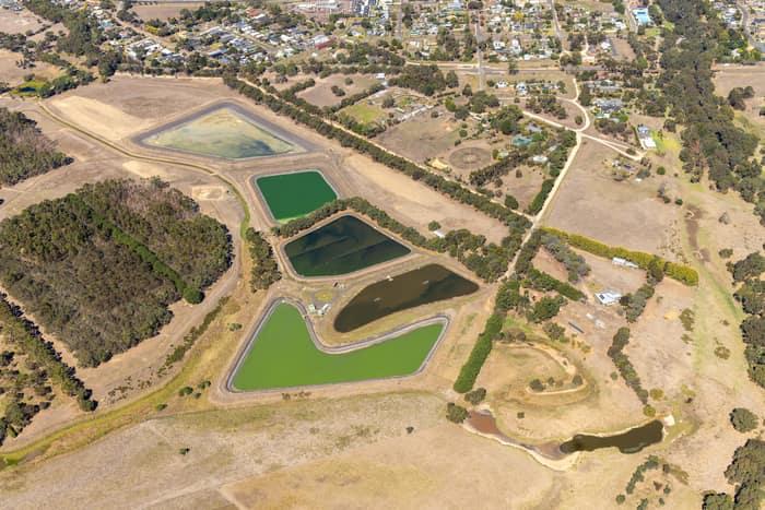
Wastewater treatment ponds, Winchelsea VIC
Winchelsea VIC 3241
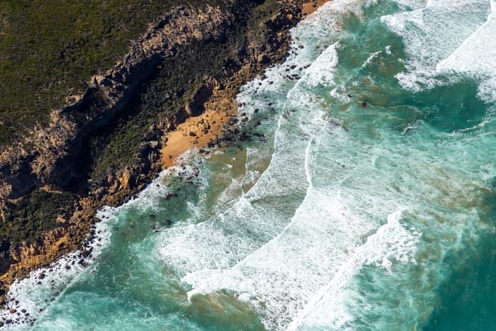
Port Campbell National Park coastline with rocky coves, Princetown VIC
Princetown VIC 3269
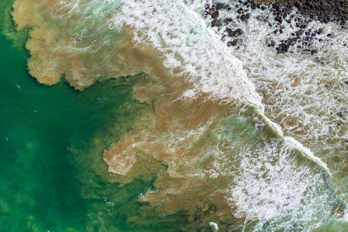
Rock platform and surf, Breamlea VIC
Connewarre VIC 3227
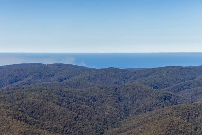
Great Otway National Park forest ranges, near Lorne VIC
Barwon Downs VIC 3243
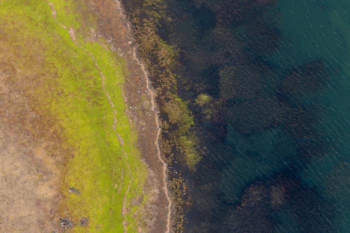
Lake Modewarre shoreline with grassy foreshore, Modewarre VIC
Wurdiboluc VIC 3241
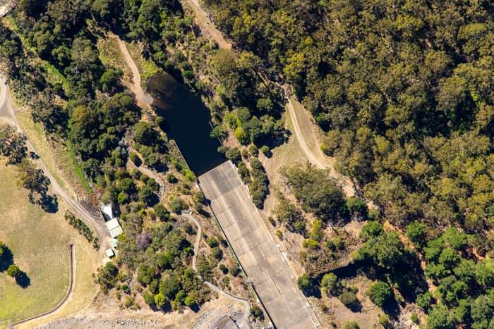
West Barwon Reservoir inlet and bushland, Forrest VIC
Forrest VIC 3236
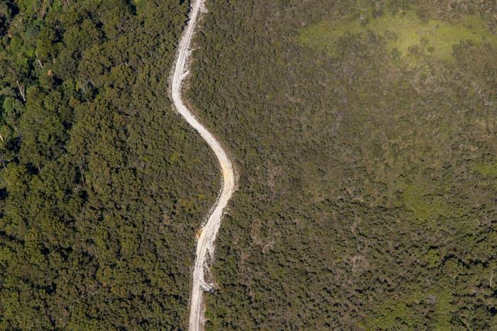
Winding bush track, Carlisle River VIC
Carlisle River VIC 3239
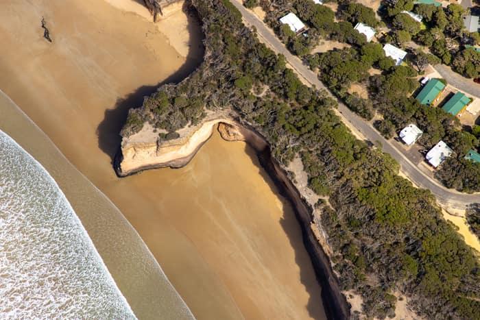
Surf Coast beach and eroded cliffs, Anglesea VIC
Anglesea VIC 3230

Murray River woodland, Boomanoomana NSW
Boomanoomana NSW 2712

Murray River bend with a pale sandbar, Cobram East VIC
Cobram East VIC 3644

Murray River bend beside farmland and woodland, Cobram East VIC
Cobram East VIC 3644

Meandering river and woodland, Boomanoomana NSW
Boomanoomana NSW 2712

Wooded river bend, Boomanoomana NSW
Boomanoomana NSW 2712
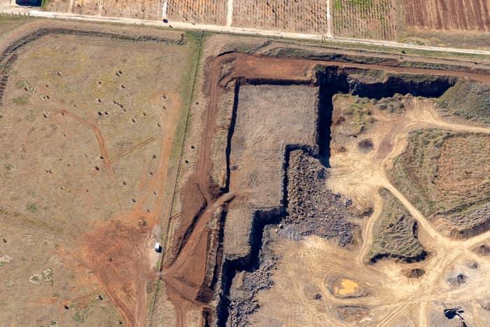
Quarry excavation and paddocks, Melton VIC
Melton VIC 3337
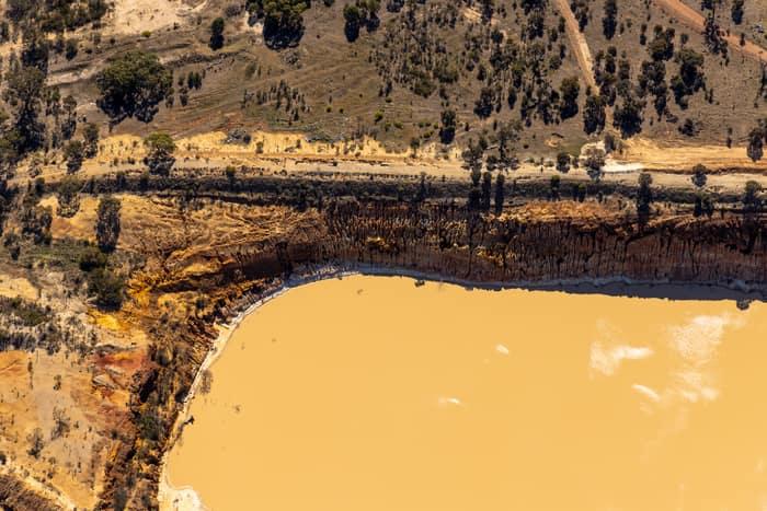
Water storage dam and earthworks, Melton VIC
Melton VIC 3337

Painkalac Creek estuary, Aireys Inlet VIC
Fairhaven VIC 3231

Anglesea coastal cliffs and Bass Strait, Anglesea VIC
Anglesea VIC 3230

Anglesea coastline and residential streets, Anglesea VIC
Anglesea VIC 3230

Painkalac Creek and Split Point Lighthouse, Aireys Inlet VIC
Fairhaven VIC 3231

Split Point Lighthouse and Eagle Rock near Painkalac Creek, Aireys Inlet VIC
Aireys Inlet VIC 3231

Anglesea River mouth and Anglesea Beach, Anglesea VIC
Anglesea VIC 3230

Fairhaven Beach coastline, Fairhaven VIC
Fairhaven VIC 3231

Woodland lake and coastline, Moggs Creek VIC
Moggs Creek VIC 3231

Anglesea ocean cliffs and Bass Strait, Anglesea VIC
Anglesea VIC 3230
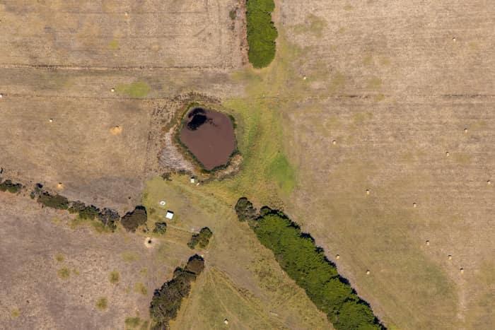
Farm dam and dry pasture, Princetown VIC
Princetown VIC 3269
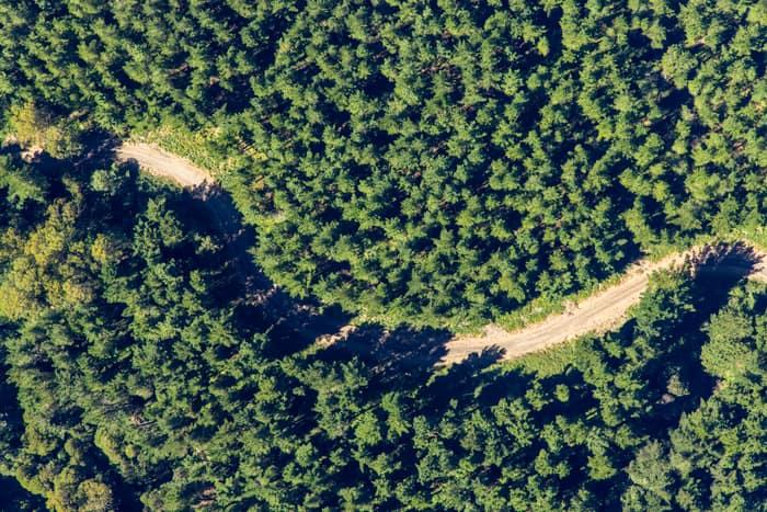
Unsealed forest track, Beech Forest VIC
Beech Forest VIC 3237
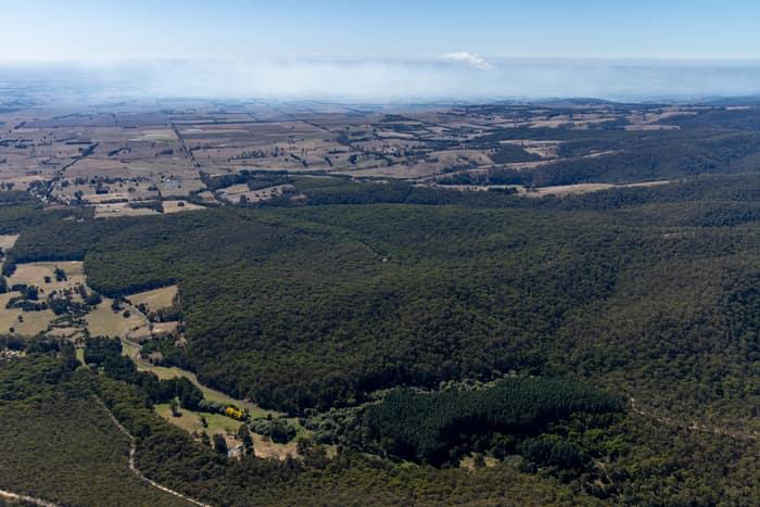
Otway forest and farmland, Forrest VIC
Barwon Downs VIC 3243
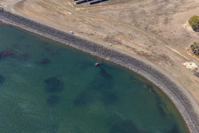
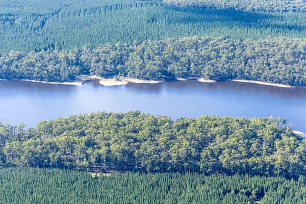
Wurdee Boluc Reservoir shoreline, Wurdiboluc VIC
Wurdiboluc VIC 3241
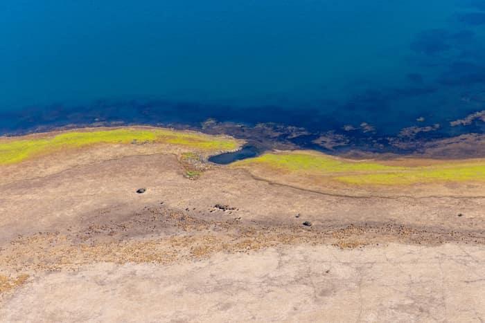
Lake Modewarre shoreline with exposed shoreline, Modewarre VIC
Wurdiboluc VIC 3241
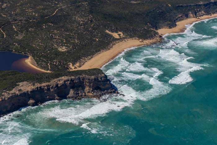
Princetown coastline and estuary, Princetown VIC
Princetown VIC 3269
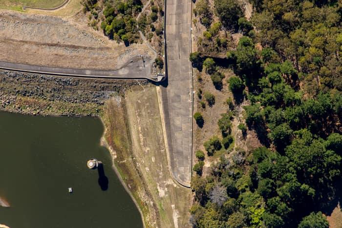
West Barwon Reservoir dam wall, Forrest VIC
Forrest VIC 3236
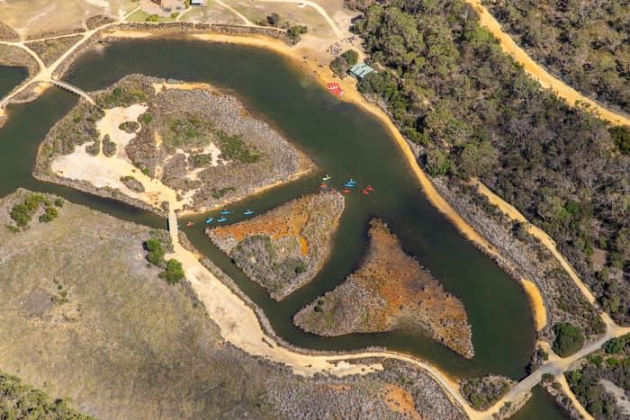
Coogoorah Park and Anglesea River with kayakers, Anglesea VIC
Anglesea VIC 3230
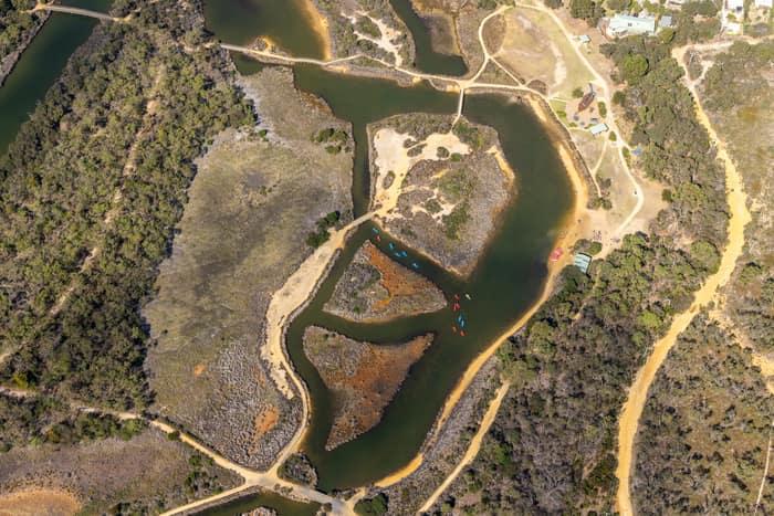
Coogoorah Park and Anglesea River with tidal channels, Anglesea VIC
Anglesea VIC 3230
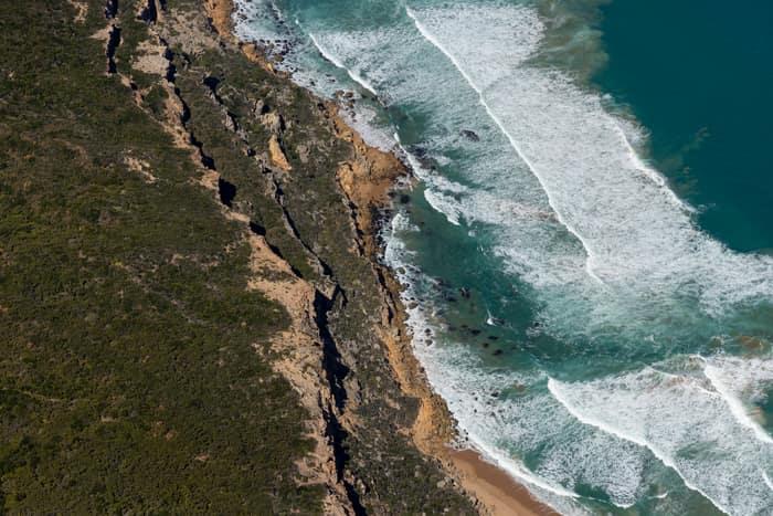
Port Campbell National Park coastline with beach and surf, Princetown VIC
Princetown VIC 3269
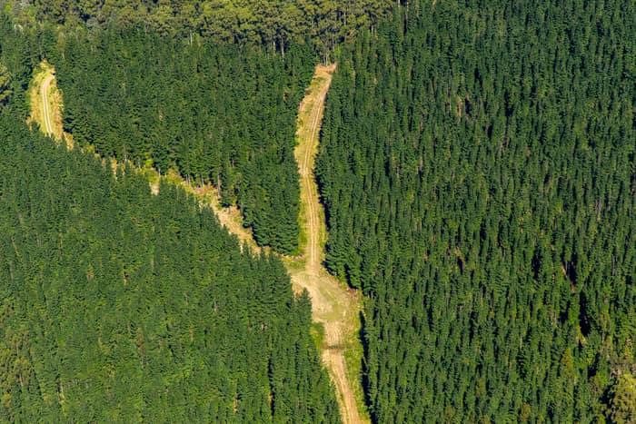
Pine plantation firebreak, Beech Forest VIC
Beech Forest VIC 3237
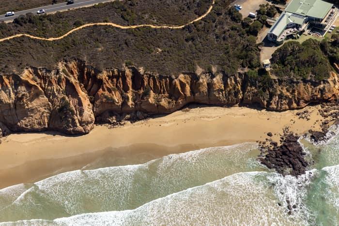
Demons Bluff Beach cliffs, Anglesea VIC
Anglesea VIC 3230

Murray River bend beside cleared paddocks, Cobram East VIC
Cobram East VIC 3644

Murray River bend through red gum forest, Cobram East VIC
Cobram East VIC 3644

Murray River bend beside agricultural paddocks, Boomanoomana NSW
Boomanoomana NSW 2712

Murray River bend with a sandy point bar, Cobram East VIC
Cobram East VIC 3644

Murray River bend in Berrigan Shire, Boomanoomana NSW
Boomanoomana NSW 2712

Anglesea River mouth and beach, Anglesea VIC
Anglesea VIC 3230

Anglesea Water Reclamation Plant, Anglesea VIC
Anglesea VIC 3230

Anglesea cliffs and Bass Strait coastline, Anglesea VIC
Anglesea VIC 3230

Apollo Bay township and harbour, Apollo Bay VIC
Apollo Bay VIC 3233

Farm dam and farmland, Bannockburn VIC
Bannockburn VIC 3331