Aerial Now

High-resolution aerial photography for construction progress, infrastructure projects and development documentation across Melbourne and Victoria.

Copyright Aerial Now. Images may not be copied, downloaded or reproduced without a licence.

Archive

Browse archiveProjectsLocationsMapLicensing

Aerial Now

Main websiteBook a shootRequest licenceClient portalPrivacy policy
Aerial Now
Client PortalBook a shoot
BrowseProjectsLocationsMapLicensingClient Portal
AERIAL NOW / Archive

Browse Aerial Photography

Construction, infrastructure and development aerial photography across Melbourne and Victoria.

2 images
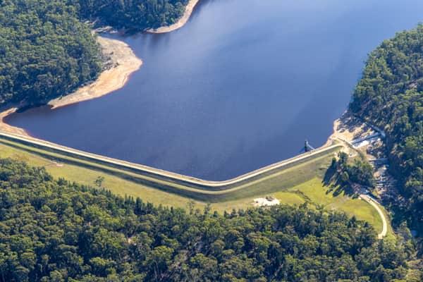
Aerial view of Bostock Reservoir at Spargo Creek VIC, showing the curved dam wall, outlet area, dark water and surrounding forest.
Bostock Reservoir outlet and dam wall, Spargo Creek VIC
Spargo Creek VIC 3461
View project timeline →
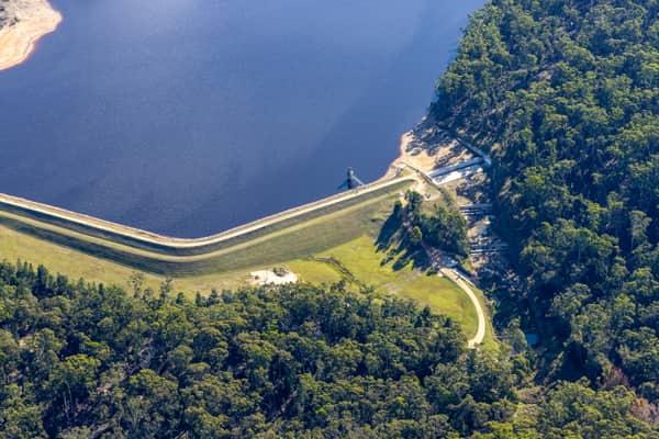
Aerial view of Bostock Reservoir in Bunding VIC, showing the curved dam embankment, reservoir water, shoreline tracks and surrounding forest.
Bostock Reservoir embankment and shoreline, Bunding VIC
Bunding VIC 3342
View project timeline →