
AERIAL NOW / Archive
Browse Aerial Photography
Construction, infrastructure and development aerial photography across Melbourne and Victoria.
15 images
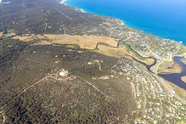
Painkalac Creek estuary, Aireys Inlet VIC
Fairhaven VIC 3231
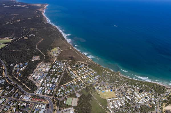
Anglesea coastline and residential area, Anglesea VIC
Anglesea VIC 3230
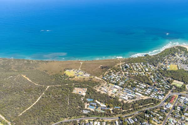
Anglesea coastline and residential estates, Anglesea VIC
Anglesea VIC 3230
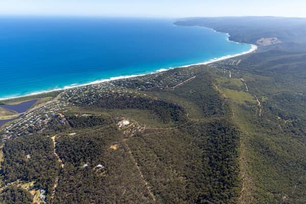
Fairhaven Beach coastline, Fairhaven VIC
Fairhaven VIC 3231
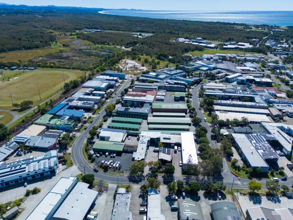
Centennial Circuit industrial estate, Byron Bay NSW
Byron Bay NSW 2481
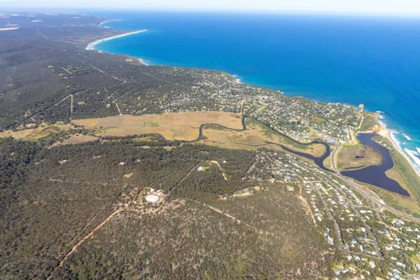
Painkalac Creek and Split Point Lighthouse, Aireys Inlet VIC
Fairhaven VIC 3231
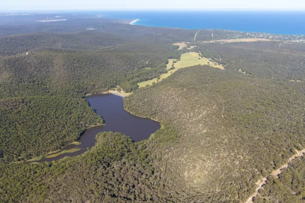
Woodland lake and coastline, Moggs Creek VIC
Moggs Creek VIC 3231
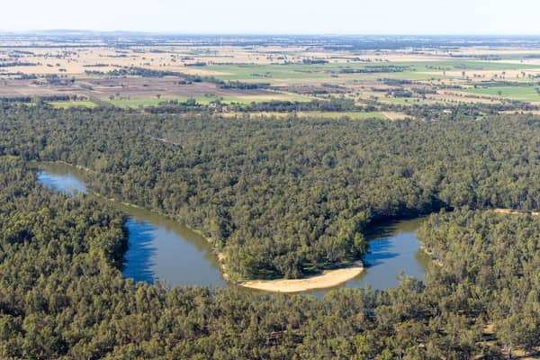
Murray River bend with a sandy point bar, Cobram East VIC
Cobram East VIC 3644
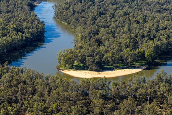
Murray River bend with a pale sandbar, Cobram East VIC
Cobram East VIC 3644
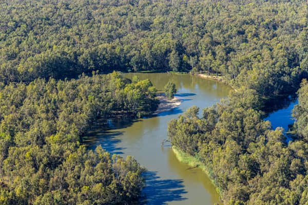
Wooded river bend, Boomanoomana NSW
Boomanoomana NSW 2712
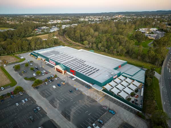
Bunnings Warehouse Taree, Taree NSW
Taree NSW 2430
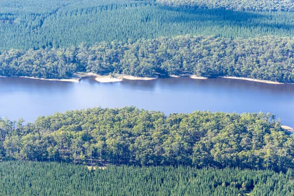
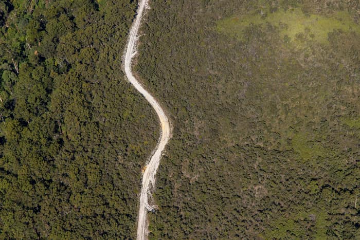
Winding bush track, Carlisle River VIC
Carlisle River VIC 3239
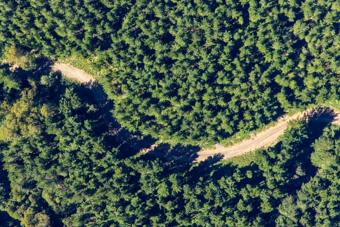
Forest track, Otway Ranges VIC
Beech Forest VIC 3237
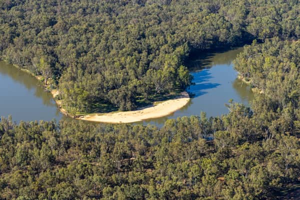
Murray River bend with a sandy point bar and woodland, Cobram East VIC
Cobram East VIC 3644