AERIAL NOW / Archive
Browse Aerial Photography
Construction, infrastructure and development aerial photography across Melbourne and Victoria.
22 images

Orchard rows and farm track, Cobram VIC
Cobram VIC 3644
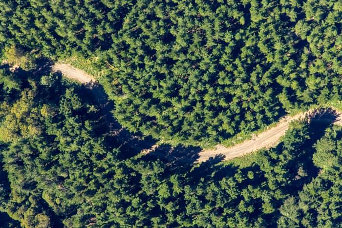
Unsealed forest track, Beech Forest VIC
Beech Forest VIC 3237
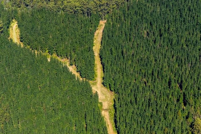
Pine plantation firebreak, Beech Forest VIC
Beech Forest VIC 3237
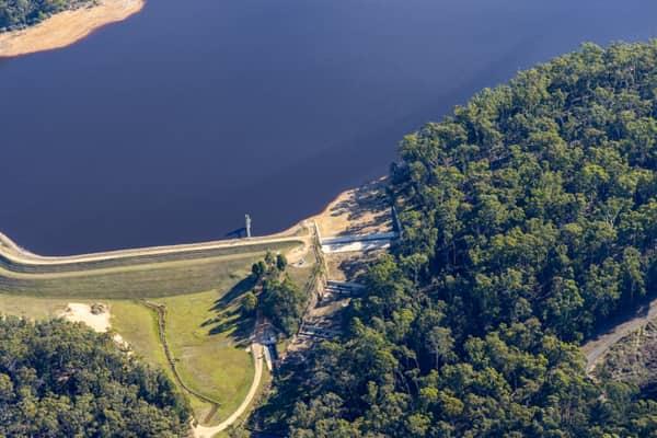
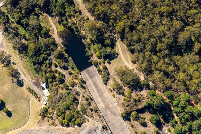
West Barwon Reservoir inlet and bushland, Forrest VIC
Forrest VIC 3236
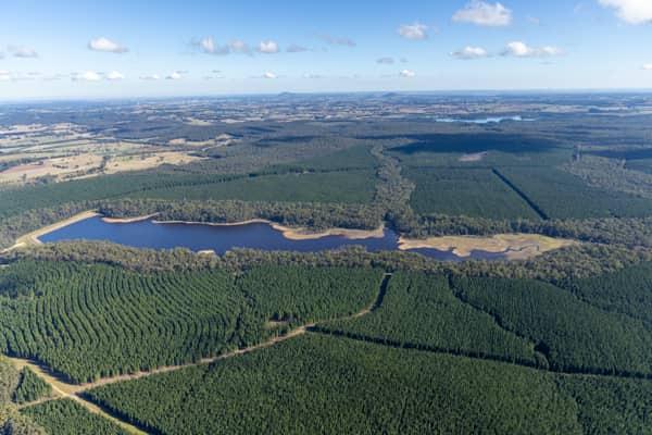
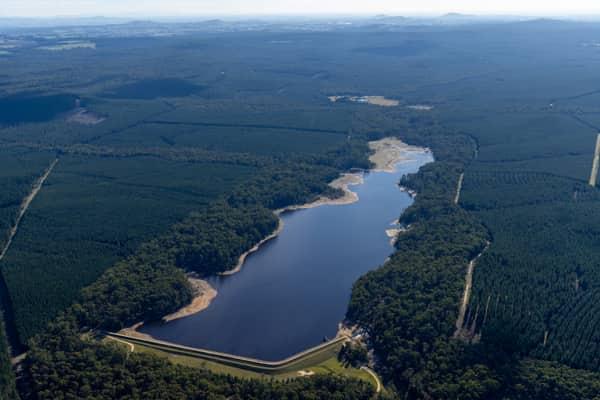
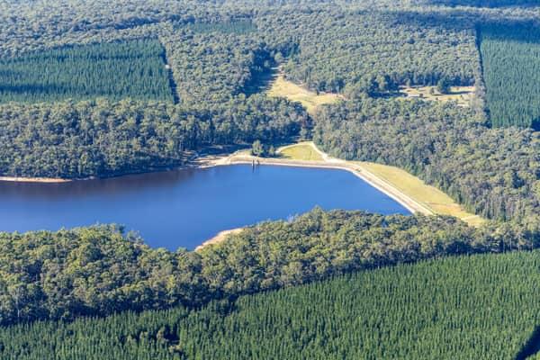
Bostock Reservoir amid pine plantations, Spargo Creek VIC
Spargo Creek VIC 3461

Fingal Head breakwater, Fingal Head NSW
Fingal Head NSW 2487
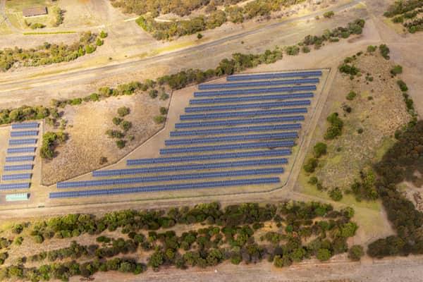
Black Rock Solar Farm arrays, Connewarre VIC
Connewarre VIC 3227
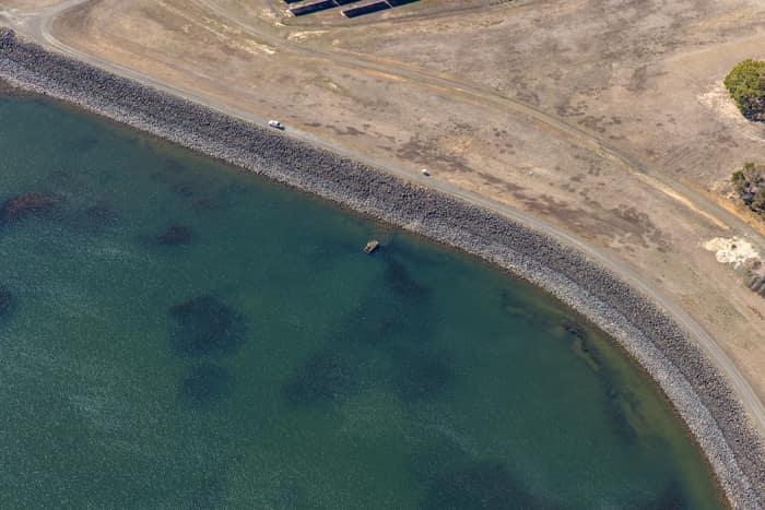
Wurdee Boluc Reservoir shoreline, Wurdiboluc VIC
Wurdiboluc VIC 3241
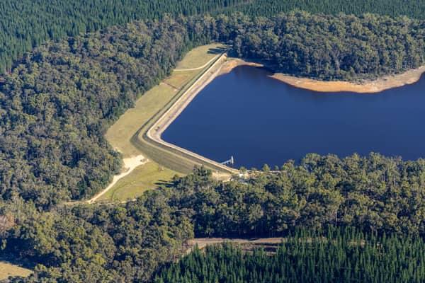
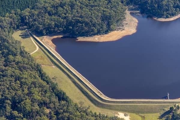
Bostock Reservoir embankment and shoreline, Spargo Creek VIC
Spargo Creek VIC 3461

Anglesea coastline and residential estates, Anglesea VIC
Anglesea VIC 3230
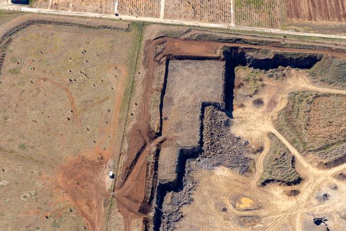
Quarry excavation and paddocks, Melton VIC
Melton VIC 3337
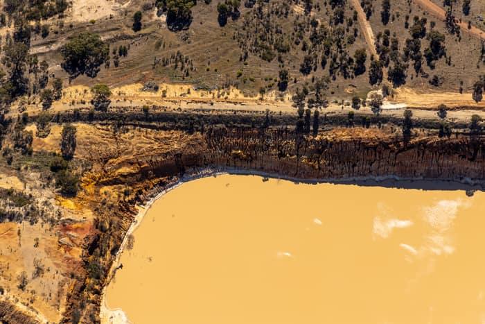
Water storage dam and earthworks, Melton VIC
Melton VIC 3337
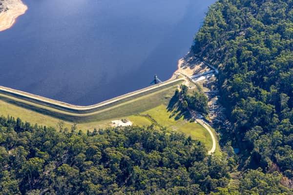
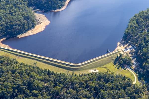

Weller Road farmland, Lancaster VIC
Lancaster VIC 3620

Anglesea Water Reclamation Plant, Anglesea VIC
Anglesea VIC 3230

Gympie Connection Road construction, Victory Heights QLD
Victory Heights QLD 4570
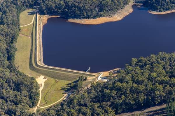
Bostock Reservoir shoreline and embankment, Spargo Creek VIC
Spargo Creek VIC 3461