Aerial Now

High-resolution aerial photography for construction progress, infrastructure projects and development documentation across Melbourne and Victoria.

Copyright Aerial Now. Images may not be copied, downloaded or reproduced without a licence.

Archive

Browse archiveProjectsLocationsMapLicensing

Aerial Now

Main websiteBook a shootRequest licenceClient portalPrivacy policy
Aerial Now
Client PortalBook a shoot
BrowseProjectsLocationsMapLicensingClient Portal
AERIAL NOW / Archive

Browse Aerial Photography

Construction, infrastructure and development aerial photography across Melbourne and Victoria.

13 images
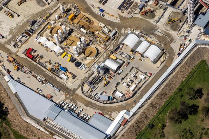
Aerial view of four large covered utility process tanks at an industrial infrastructure site in Craigieburn, with access roads, hardstand areas and service vehicles visible.
Covered utility process tanks, Craigieburn VIC
Craigieburn VIC 3064
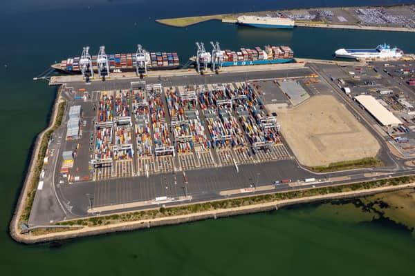
Aerial view of Webb Dock East at the Port of Melbourne in Port Melbourne, showing container stacks, ship-to-shore cranes, berthed container vessels, port roads and surrounding harbour water.
Webb Dock East container terminal, Port Melbourne VIC
Port Melbourne VIC 3207
View project timeline →
Aerial view of Pacific Werribee shopping centre in Werribee, VIC, showing the large retail complex, car parks, surrounding roads and nearby residential streets.
Pacific Werribee shopping centre, Werribee VIC
Werribee VIC 3030
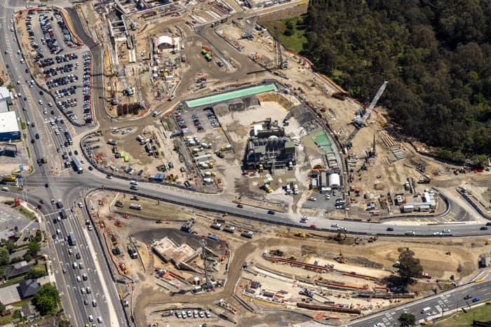
Aerial view of North East Link construction works in Bulleen, with major roadworks, cranes, machinery, site compounds and traffic on surrounding arterial roads.
North East Link construction along the Bulleen road corridor, Bulleen VIC
Bulleen VIC 3105
Aerial view of the North East Link construction site in Bulleen showing work sheds, silos, machinery, access roads and equipment within a large compound.
North East Link construction site with temporary buildings and silos, Bulleen VIC
Bulleen VIC 3030
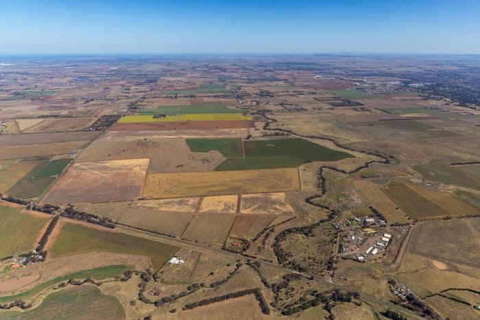
Aerial view of farmland and paddocks around Mount Cottrell Road in Melton, Victoria, with rural properties, access roads and dry agricultural land stretching to the horizon.
Mount Cottrell Road farmland, Melton VIC
Melton VIC 3337
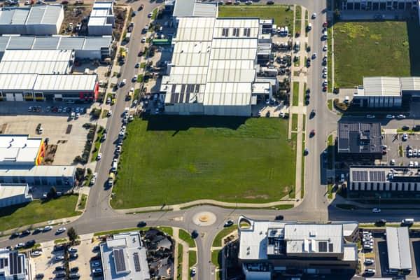
Aerial view of a vacant industrial land parcel surrounded by warehouses, commercial buildings, car parks and a roundabout in Clyde North, Victoria.
Vacant industrial land, Clyde North VIC
Clyde North VIC 3978
Aerial view of the North East Link construction site beside Manningham Road in Bulleen, with cranes, bridge works, traffic, parkland and a nearby sports oval visible.
North East Link construction beside Manningham Road, Bulleen VIC
Bulleen VIC 3105
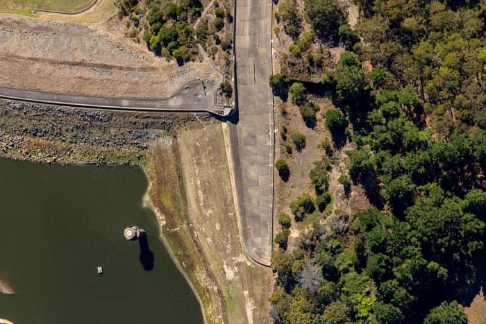
Aerial view of the West Barwon Reservoir dam wall at Forrest, showing the reservoir edge, concrete roadway and surrounding forest.
West Barwon Reservoir dam wall, Forrest VIC
Forrest VIC 3236
Aerial view of Anglesea Water Reclamation Plant with treatment ponds and utility buildings set among coastal vegetation near the Bass Strait shoreline in Anglesea, Victoria.
Anglesea Water Reclamation Plant, Anglesea VIC
Anglesea VIC 3230
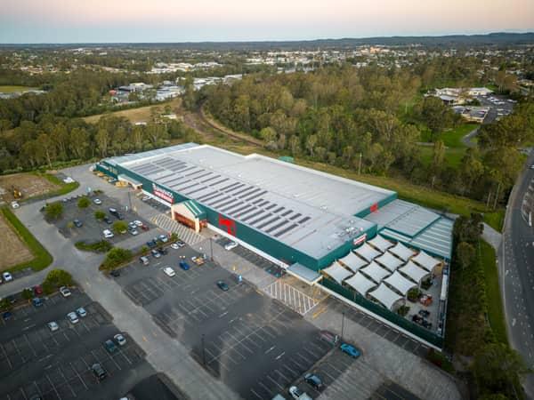
Aerial view of Bunnings Warehouse Taree on Wingham Road with car parking, surrounding trees and nearby commercial areas in Taree NSW.
Bunnings Warehouse Taree, Taree NSW
Taree NSW 2430
Aerial view of farmland and rural homes along Weller Road in Lancaster VIC, with green paddocks, tree lines and farm tracks.
Weller Road farmland, Lancaster VIC
Lancaster VIC 3620
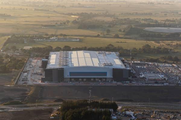
Aerial view of the Amazon Robotics Fulfilment Centre under construction in Craigieburn, with a large warehouse building, loading areas, staff parking and surrounding rural land.
Amazon Robotics Fulfilment Centre, Craigieburn VIC
Craigieburn VIC 3064