
AERIAL NOW / Archive
Browse Aerial Photography
Construction, infrastructure and development aerial photography across Melbourne and Victoria.
92 images
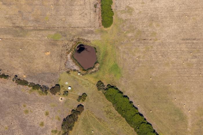
Farm dam and dry pasture, Princetown VIC
Princetown VIC 3269

Suburban parkland and homes, Doncaster East VIC
Doncaster East VIC 3109
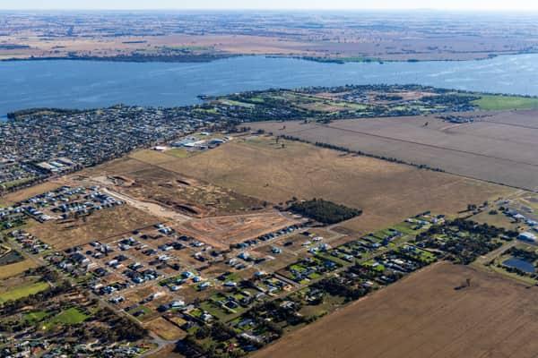
Lake Mulwala residential subdivision, Yarrawonga VIC
Yarrawonga VIC 3730

Murray River bend beside farmland and woodland, Cobram East VIC
Cobram East VIC 3644

Painkalac Creek estuary, Aireys Inlet VIC
Fairhaven VIC 3231

Anglesea coastal cliffs and Bass Strait, Anglesea VIC
Anglesea VIC 3230

Anglesea coastline and residential streets, Anglesea VIC
Anglesea VIC 3230

Anglesea River mouth and Anglesea Beach, Anglesea VIC
Anglesea VIC 3230

Anglesea coastline and residential estates, Anglesea VIC
Anglesea VIC 3230

Centre pivot canola field, Wyuna VIC
Wyuna VIC 3620

Somerton rail freight terminal and gantry cranes, VIC
Somerton VIC 3062

Craigieburn Road retail and housing, Craigieburn VIC
Craigieburn VIC 3064
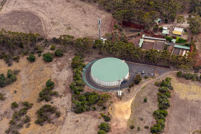
Mount Duneed water storage tank, Mount Duneed VIC
Mount Duneed VIC 3217

Westfield Doncaster shopping centre with rooftop parking, Doncaster VIC
Doncaster VIC 3108
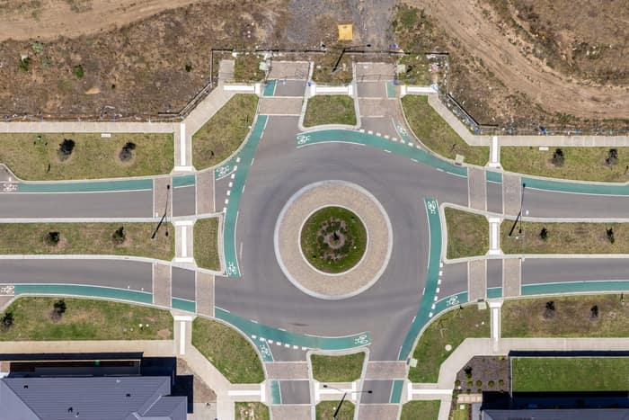
Residential estate roundabout, Mickleham VIC
Mickleham VIC 3064

Murray River bend through river red gum woodland, Cobram East VIC
Cobram East VIC 3644

Orchard rows and farm track, Cobram VIC
Cobram VIC 3644
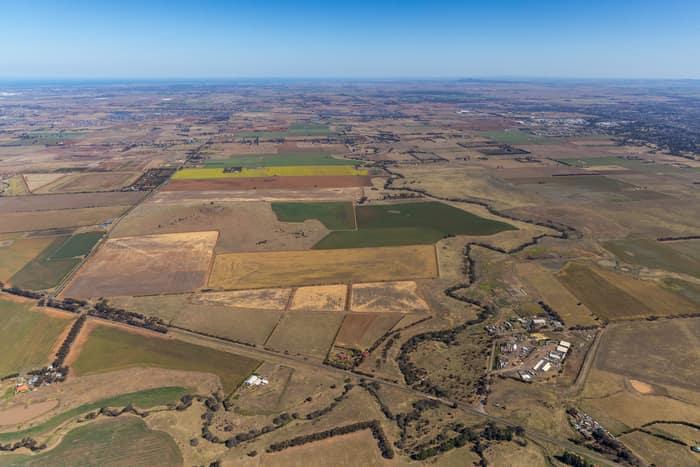
Mount Cottrell Road farmland, Melton VIC
Melton VIC 3337

Painkalac Creek and Split Point Lighthouse, Aireys Inlet VIC
Fairhaven VIC 3231

Apollo Bay township and coastline, Apollo Bay VIC
Apollo Bay VIC 3233

Torquay coastline and farmland, Torquay VIC
Torquay VIC 3228

Anglesea coastline and residential area, Anglesea VIC
Anglesea VIC 3230

Apollo Bay Beach and residential streets, Apollo Bay VIC
Apollo Bay VIC 3233

Apollo Bay Harbour and township with curved beach, Apollo Bay VIC
Apollo Bay VIC 3233

Apollo Bay coastline and farmland, Apollo Bay VIC
Apollo Bay VIC 3233

Anglesea ocean cliffs and Bass Strait, Anglesea VIC
Anglesea VIC 3230
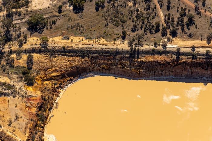
Water storage dam and earthworks, Melton VIC
Melton VIC 3337

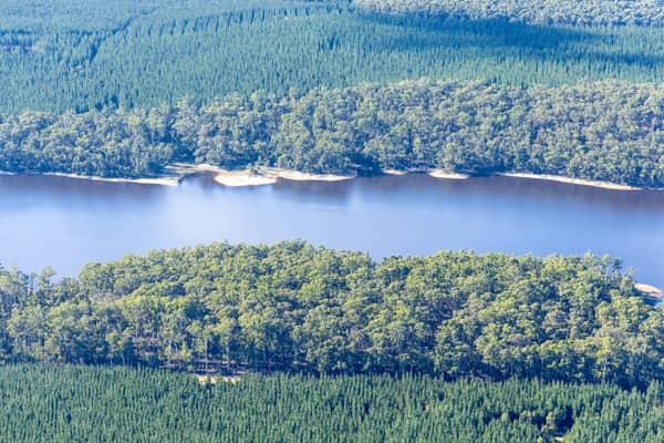
Woodland lake and coastline, Moggs Creek VIC
Moggs Creek VIC 3231
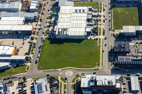
Vacant industrial land, Clyde North VIC
Clyde North VIC 3978
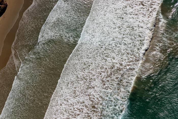
Surf breaking on coastline, Anglesea VIC
Anglesea VIC 3230
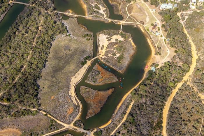
Coogoorah Park and Anglesea River with tidal channels, Anglesea VIC
Anglesea VIC 3230

Light Horse Circuit housing estate, Sunbury VIC
Sunbury VIC 3429

Bethnal Avenue residential estate, Wollert VIC
Wollert VIC 3750

Murray River point bar, Cobram East VIC
Cobram East VIC 3644
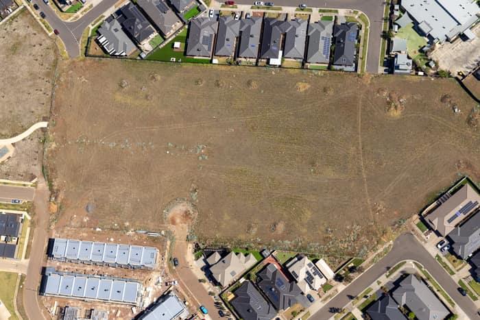
Agate Drive residential development site, Tarneit VIC
Tarneit VIC 3029

Apollo Bay Harbour and township, Apollo Bay VIC
Apollo Bay VIC 3233

Apollo Bay Harbour and township with marina berths, Apollo Bay VIC
Apollo Bay VIC 3233

Anglesea River mouth and beach, Anglesea VIC
Anglesea VIC 3230

Apollo Bay township and harbour, Apollo Bay VIC
Apollo Bay VIC 3233

Farm dam and farmland, Bannockburn VIC
Bannockburn VIC 3331
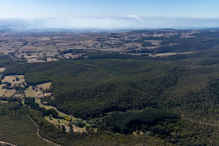
Otway forest and farmland, Forrest VIC
Barwon Downs VIC 3243
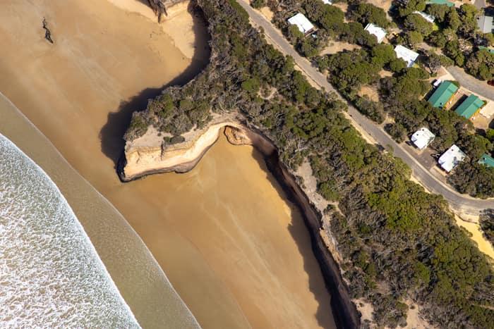
Surf Coast beach and eroded cliffs, Anglesea VIC
Anglesea VIC 3230
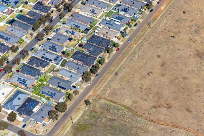
Brookfield residential estate and vacant land, Brookfield VIC
Brookfield VIC 3338
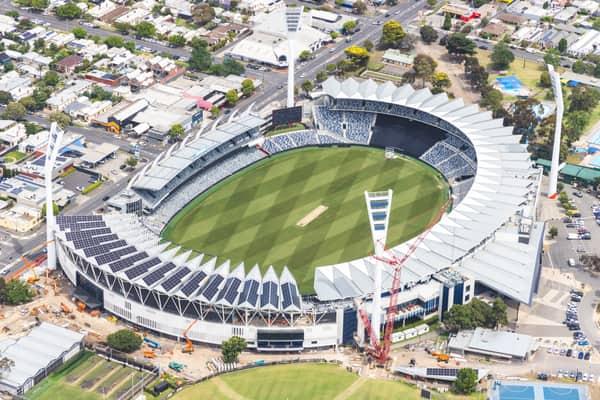
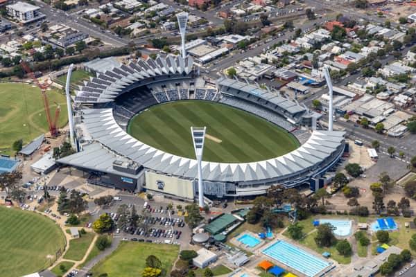
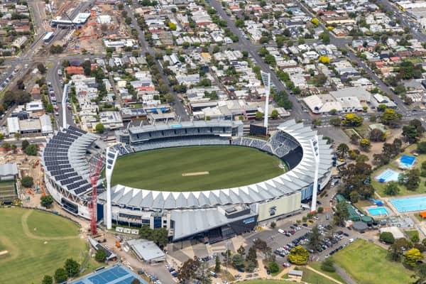
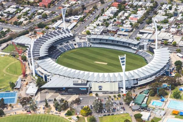
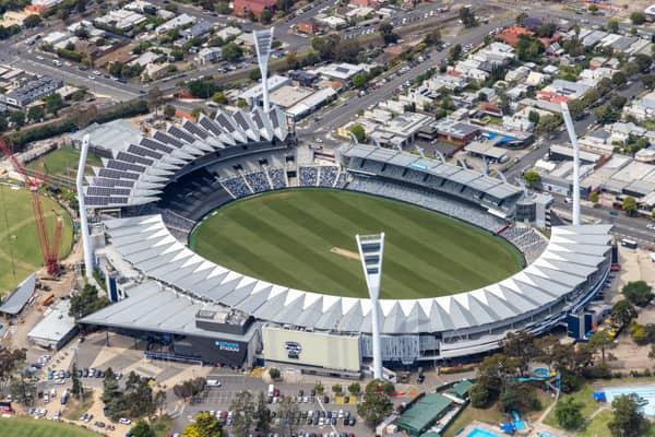
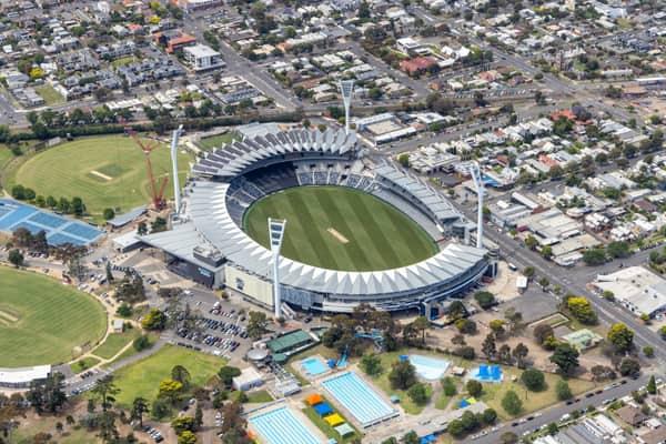
GMHBA Stadium and Kardinia Aquatic Centre, South Geelong VIC
South Geelong VIC 3220


Eastern Freeway interchange construction, Balwyn North VIC
Balwyn North VIC 3104


North East Link construction with road realignments, Heidelberg VIC
Heidelberg VIC 3084

Melbourne CBD high-rise buildings, Melbourne VIC
Melbourne VIC 3000

Marsh Crescent housing estate, Sunbury VIC
Sunbury VIC 3429

Epping railway stabling yard, Epping VIC
Epping VIC 3076

Haldon Avenue residential homes, Mickleham VIC
Mickleham VIC 3064

Split Point Lighthouse and Eagle Rock near Painkalac Creek, Aireys Inlet VIC
Aireys Inlet VIC 3231

Torquay coastline and residential estates, Torquay VIC
Torquay VIC 3228

Fairhaven Beach coastline, Fairhaven VIC
Fairhaven VIC 3231

Weller Road farmland, Lancaster VIC
Lancaster VIC 3620
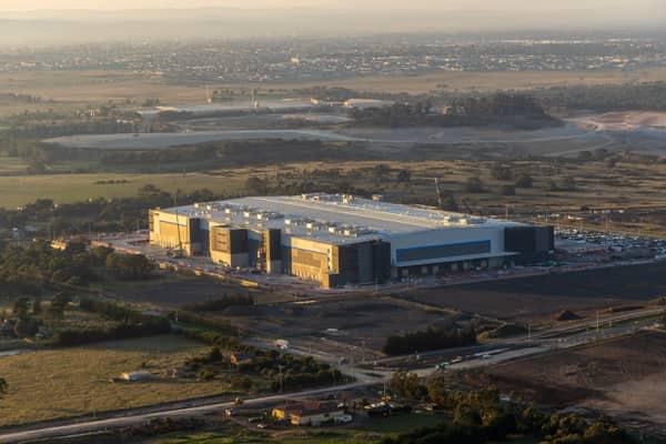
Industrial warehouse, Mickleham VIC
Mickleham VIC 3064
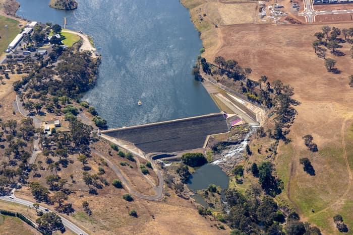
Melton Reservoir dam wall, Melton VIC
Melton VIC 3337
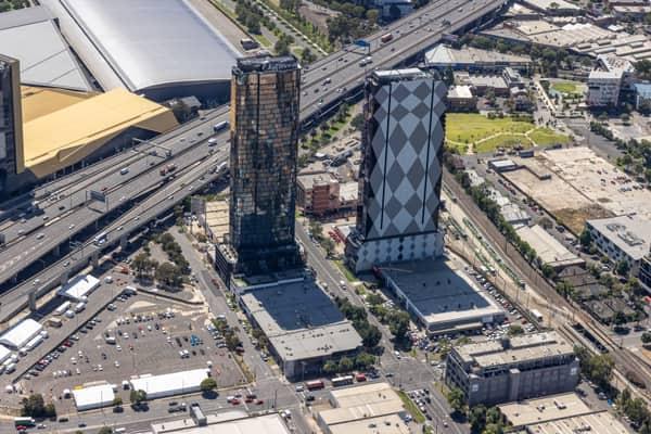
Normanby Road towers and West Gate Freeway, Southbank VIC
Southbank VIC 3006
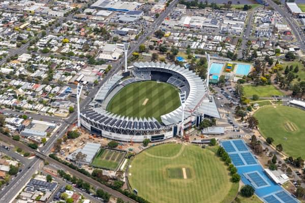
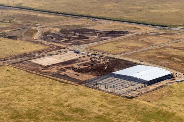
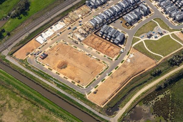
Casey Green Estate construction aerial view, Narre Warren VIC
Narre Warren VIC 3805

Craigieburn Road and Craigieburn Central, Craigieburn VIC
Craigieburn VIC 3064

Craigieburn Road commercial precinct, Craigieburn VIC
Craigieburn VIC 3064


Bourke Street city blocks, Melbourne VIC
Melbourne VIC 3000

Parliament House and Spring Street, Melbourne VIC
East Melbourne VIC 3002
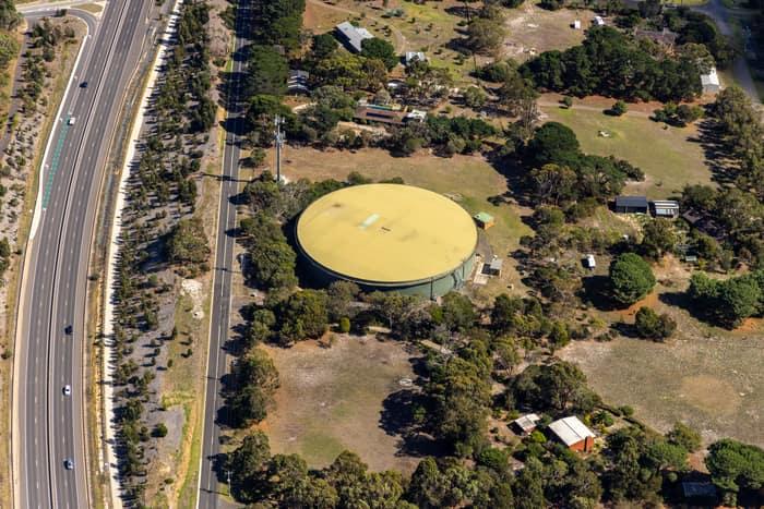
Water storage tank, Andersons Road Drysdale VIC
Drysdale VIC 3222
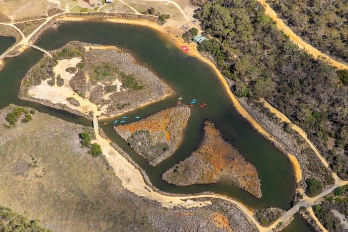
Coogoorah Park and Anglesea River with kayakers, Anglesea VIC
Anglesea VIC 3230


Pacific Werribee shopping centre, Werribee VIC
Werribee VIC 3030

Westfield Doncaster shopping centre with arterial roads, Doncaster VIC
Doncaster VIC 3108
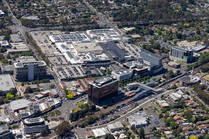
Eastland Shopping Centre, Ringwood VIC
Ringwood VIC 3134

Hollington Drive housing estate, Mickleham VIC
Mickleham VIC 3064

Westfield Doncaster and Doncaster Road intersection, Doncaster VIC
Doncaster VIC 3108

Chilworth Street housing estate, Donnybrook VIC
Donnybrook VIC 3064


Fishermans Beach and The Esplanade, Torquay VIC
Torquay VIC 3228

Split Point Lighthouse and Eagle Rock above coastal beach, Aireys Inlet VIC
Aireys Inlet VIC 3231

Anglesea cliffs and Bass Strait coastline, Anglesea VIC
Anglesea VIC 3230
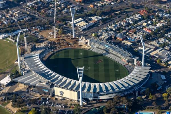
GMHBA Stadium with oval and light towers, South Geelong VIC
South Geelong VIC 3220

Parliament House and Treasury Gardens, Melbourne VIC
East Melbourne VIC 3002
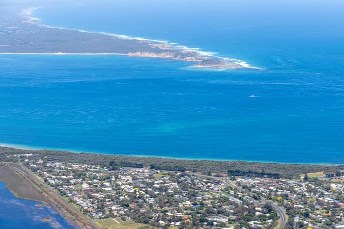
Point Lonsdale coastline, Point Lonsdale VIC
Point Lonsdale VIC 3225
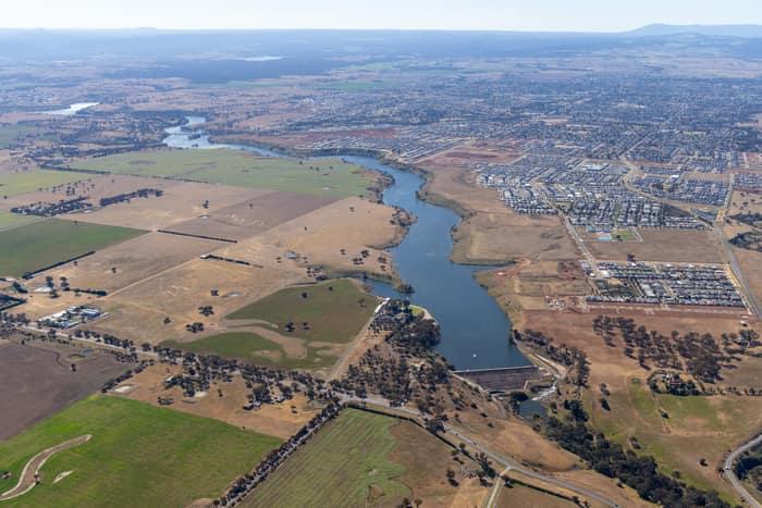
Melton Reservoir and Werribee River, Melton VIC
Melton VIC 3337
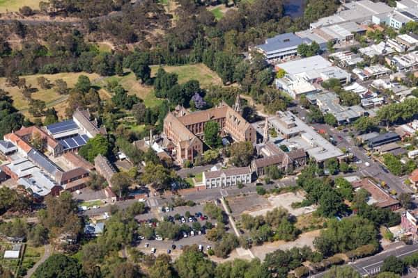
Abbotsford Convent and surrounding parkland aerial view, Abbotsford VIC
Abbotsford VIC 3067
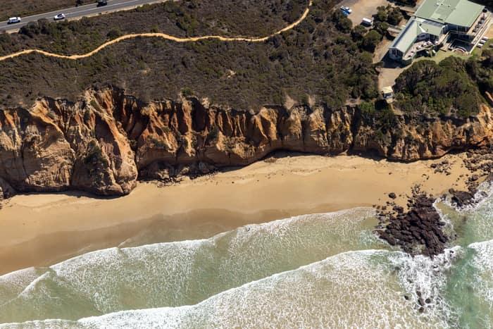
Demons Bluff Beach cliffs, Anglesea VIC
Anglesea VIC 3230