
AERIAL NOW / Archive
Browse Aerial Photography
Construction, infrastructure and development aerial photography across Melbourne and Victoria.
25 images
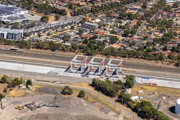
Somerton Intermodal Terminal construction aerial view, VIC
Somerton VIC 3062
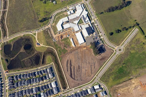
Clyde Secondary College expansion aerial view, Clyde VIC
Clyde VIC 3978
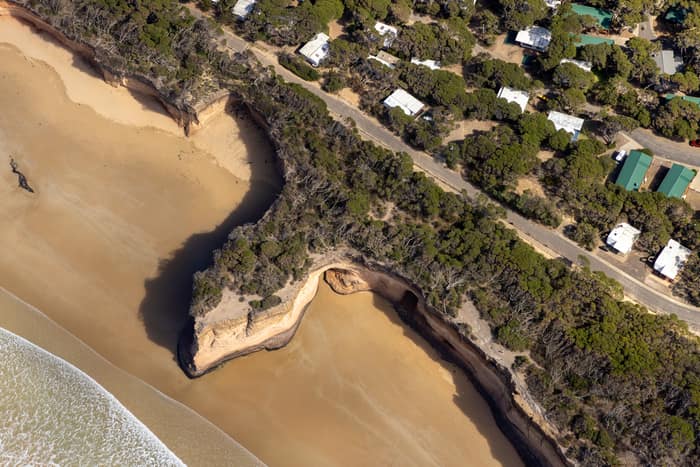
Point Roadknight cliffs and beach aerial view, Anglesea VIC
Anglesea VIC 3230
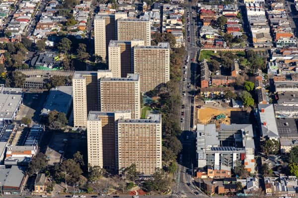
Elizabeth Street public housing aerial view, Richmond VIC
Richmond VIC 3121
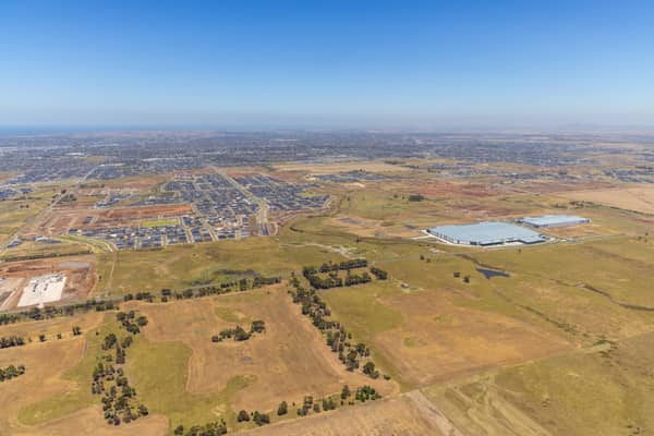
Boundary Road growth corridor aerial view, Truganina VIC
Truganina VIC 3029
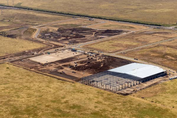
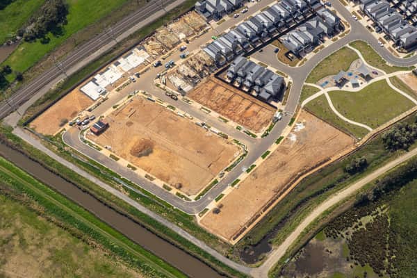
Casey Green Estate construction aerial view, Narre Warren VIC
Narre Warren VIC 3805
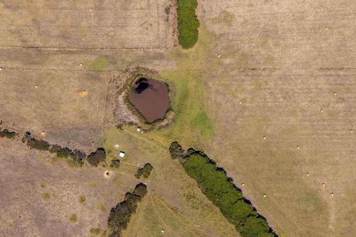
Farm dam and dry pasture, Princetown VIC
Princetown VIC 3269
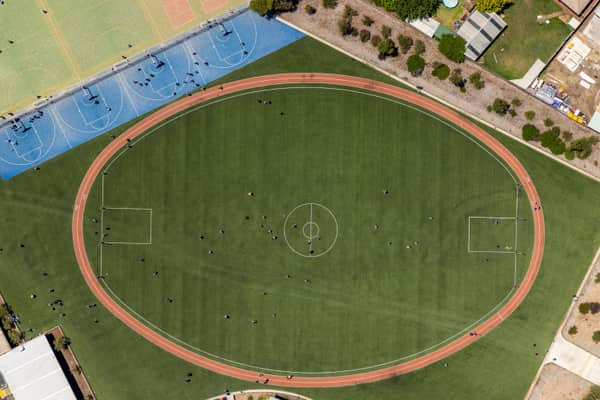
Wedge Park Primary School sports oval and courts, Melton West VIC
Melton West VIC 3337
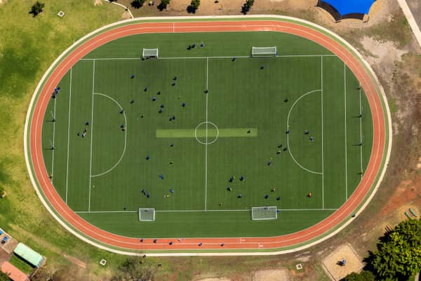
Astor Place soccer field and athletics track, Melton West VIC
Melton West VIC 3337
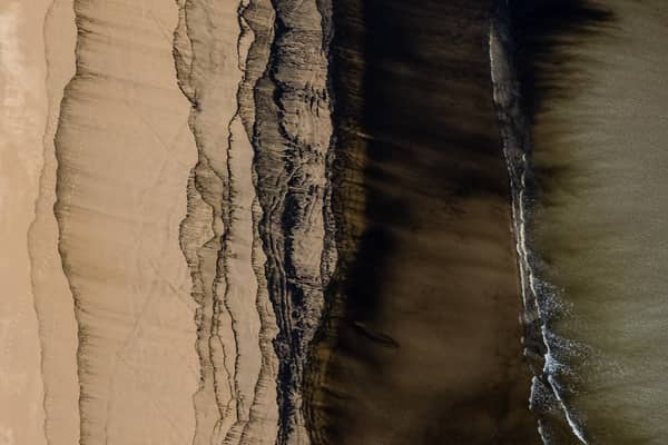
Borrowed Particles Bass Strait shoreline, Inverloch VIC
Inverloch VIC 3996
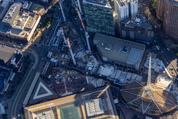
Melbourne Arts Precinct Transformation, Southbank VIC
Southbank VIC 3006
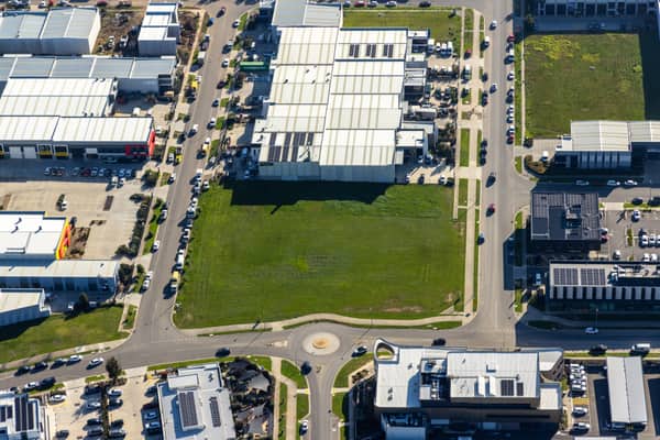
Vacant industrial land, Clyde North VIC
Clyde North VIC 3978
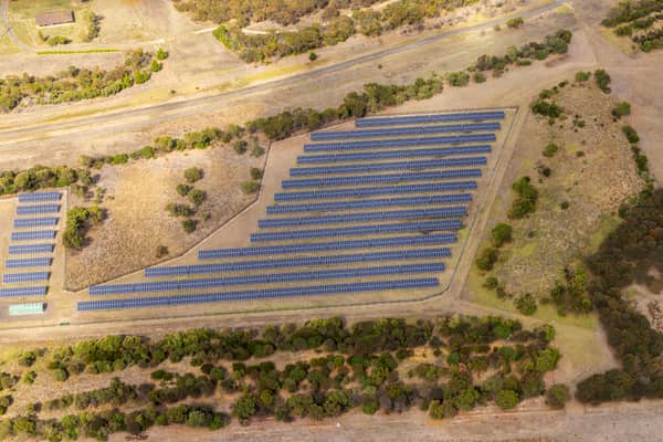
Black Rock Solar Farm, Connewarre VIC
Connewarre VIC 3227
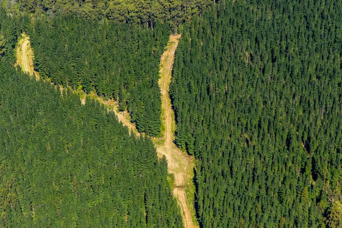
Pine plantation firebreak, Otway Ranges VIC
Beech Forest VIC 3237
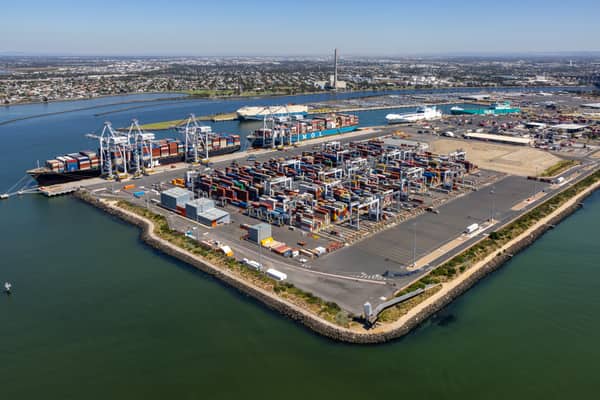
Webb Dock container terminal aerial view, Port Melbourne VIC
Port Melbourne VIC 3207
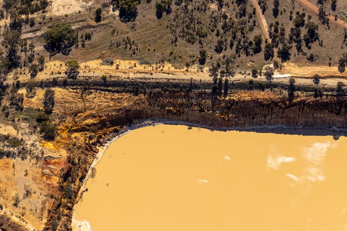
Water storage dam and earthworks, Melton VIC
Melton VIC 3337
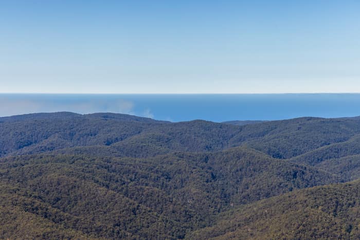
Great Otway National Park forest ranges, near Lorne VIC
Barwon Downs VIC 3243
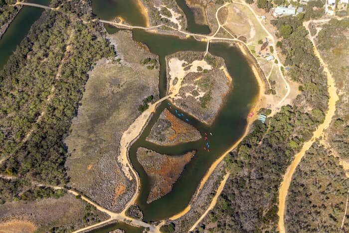
Coogoorah Park and Anglesea River with tidal channels, Anglesea VIC
Anglesea VIC 3230
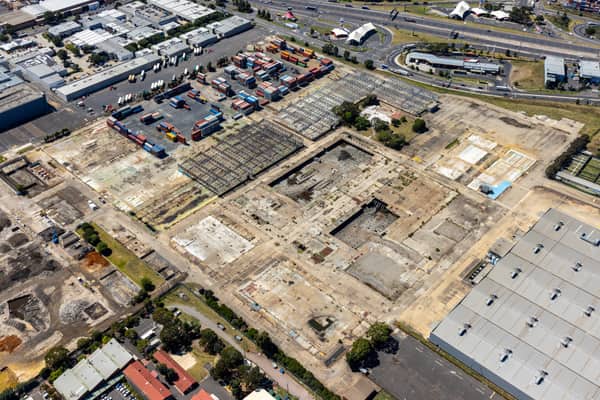
Former Holden factory redevelopment, Port Melbourne VIC
Port Melbourne VIC 3207
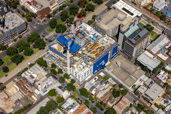
Saint Teresa of Kolkata Building construction, Fitzroy VIC
Fitzroy VIC 3065
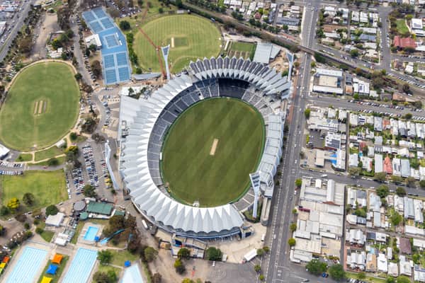
GMHBA Stadium and Kardinia Park courts, South Geelong VIC
South Geelong VIC 3220
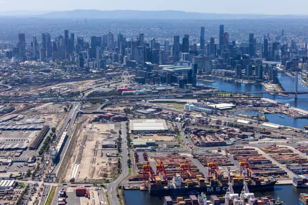
Port of Melbourne and CBD skyline, West Melbourne VIC
West Melbourne VIC 3003
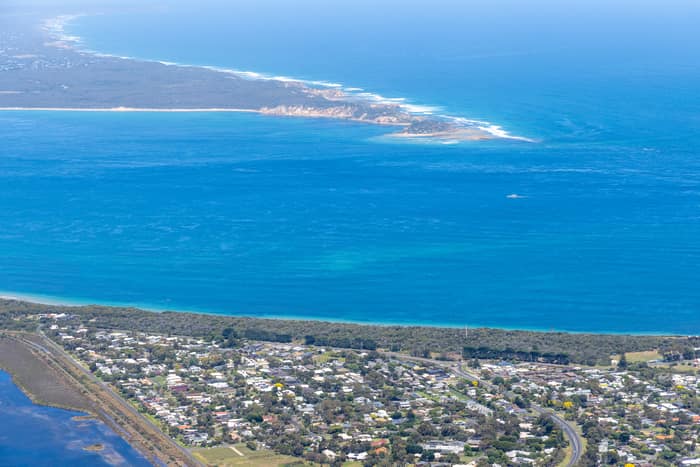
Point Lonsdale coastline, Point Lonsdale VIC
Point Lonsdale VIC 3225
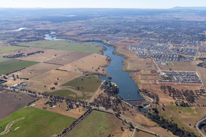
Melton Reservoir and Werribee River, Melton VIC
Melton VIC 3337