
AERIAL NOW / Archive
Browse Aerial Photography
Construction, infrastructure and development aerial photography across Melbourne and Victoria.
23 images

Borrowed Particles Bass Strait shoreline, Inverloch VIC
Inverloch VIC 3996

Anglesea coastal cliffs and Bass Strait, Anglesea VIC
Anglesea VIC 3230

Anglesea cliffs and Bass Strait coastline, Anglesea VIC
Anglesea VIC 3230

Anglesea ocean cliffs and Bass Strait, Anglesea VIC
Anglesea VIC 3230
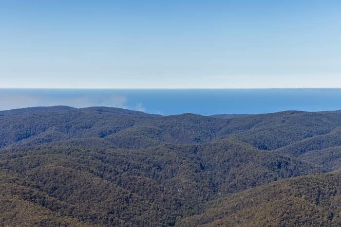
Great Otway National Park forest ranges, near Lorne VIC
Barwon Downs VIC 3243

Torquay coastline and farmland, Torquay VIC
Torquay VIC 3228

Anglesea Water Reclamation Plant, Anglesea VIC
Anglesea VIC 3230
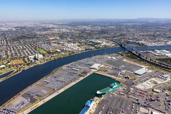
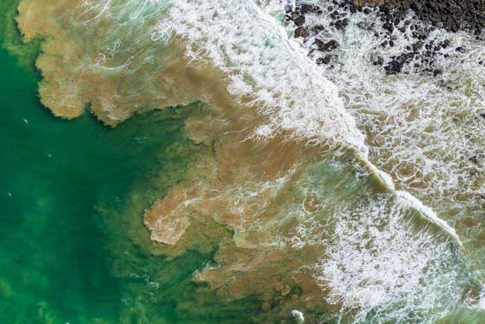
Rock platform and surf, Breamlea VIC
Connewarre VIC 3227
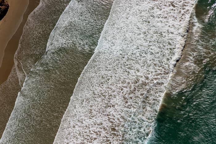
Surf breaking on coastline, Anglesea VIC
Anglesea VIC 3230
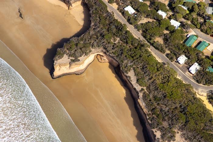
Surf Coast beach and eroded cliffs, Anglesea VIC
Anglesea VIC 3230

Bells Beach coastline, Bells Beach VIC
Bells Beach VIC 3228
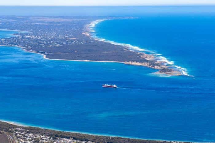
Port Phillip Heads and Point Nepean, Point Lonsdale VIC
Point Lonsdale VIC 3225

Anglesea coastline and residential streets, Anglesea VIC
Anglesea VIC 3230

Split Point Lighthouse and Eagle Rock near Painkalac Creek, Aireys Inlet VIC
Aireys Inlet VIC 3231

Apollo Bay township and coastline, Apollo Bay VIC
Apollo Bay VIC 3233

Apollo Bay Harbour and township, Apollo Bay VIC
Apollo Bay VIC 3233

Apollo Bay Harbour and township with marina berths, Apollo Bay VIC
Apollo Bay VIC 3233

Split Point Lighthouse and Eagle Rock above coastal beach, Aireys Inlet VIC
Aireys Inlet VIC 3231

Anglesea River mouth and beach, Anglesea VIC
Anglesea VIC 3230

Anglesea coastline and residential estates, Anglesea VIC
Anglesea VIC 3230

Torquay coastline and residential estates, Torquay VIC
Torquay VIC 3228

Fairhaven Beach coastline, Fairhaven VIC
Fairhaven VIC 3231