
AERIAL NOW / Archive
Browse Aerial Photography
Construction, infrastructure and development aerial photography across Melbourne and Victoria.
19 images
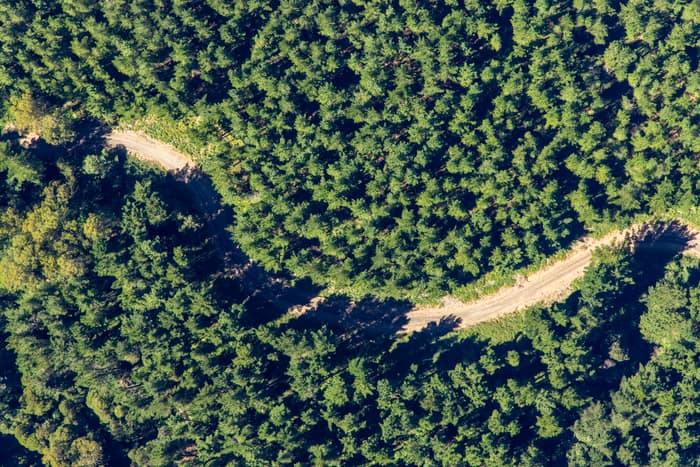
Forest track, Otway Ranges VIC
Beech Forest VIC 3237
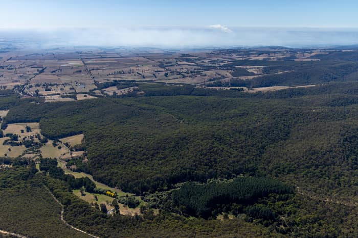
Otway forest and farmland, Forrest VIC
Barwon Downs VIC 3243
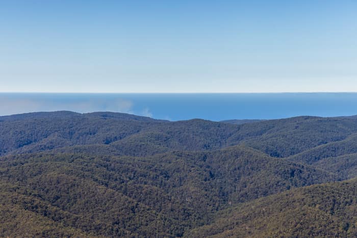
Great Otway National Park forest ranges, near Lorne VIC
Barwon Downs VIC 3243
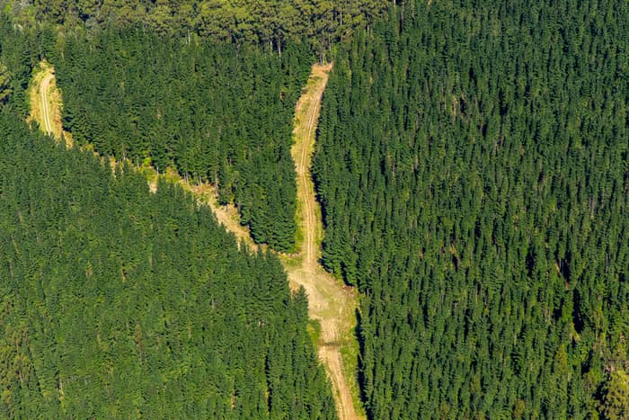
Pine plantation firebreak, Otway Ranges VIC
Beech Forest VIC 3237
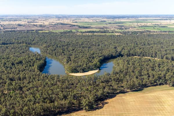
Murray River bend through red gum forest, Cobram East VIC
Cobram East VIC 3644
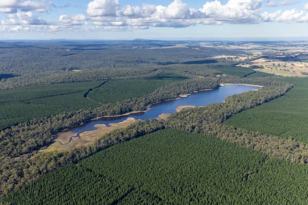
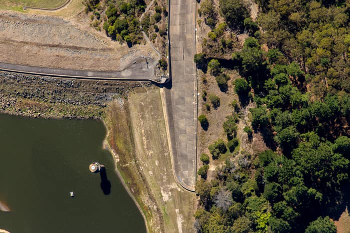
West Barwon Reservoir dam wall, Forrest VIC
Forrest VIC 3236
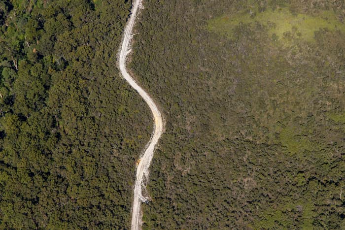
Winding bush track, Carlisle River VIC
Carlisle River VIC 3239
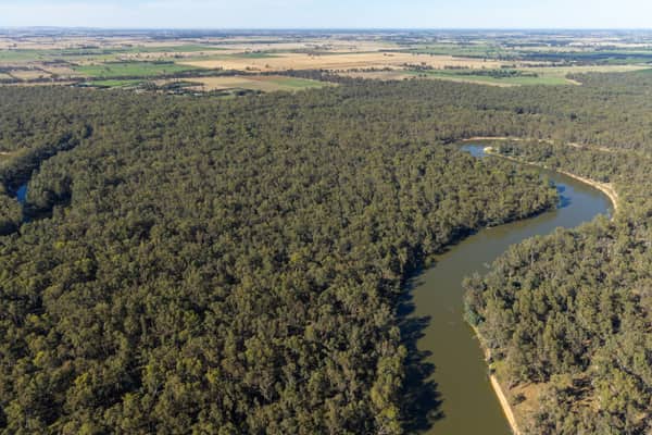
Murray River bend beside agricultural paddocks, Boomanoomana NSW
Boomanoomana NSW 2712
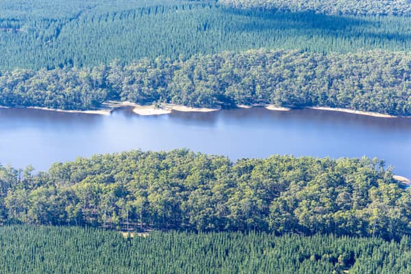
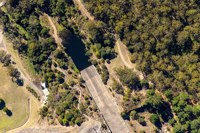
West Barwon Reservoir inlet and bushland, Forrest VIC
Forrest VIC 3236
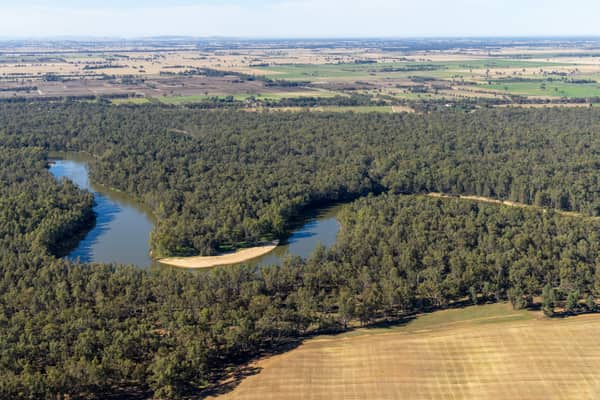
Murray River bend beside cleared paddocks, Cobram East VIC
Cobram East VIC 3644
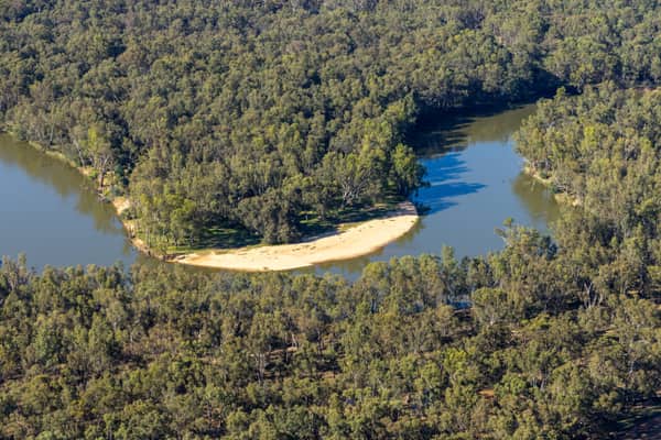
Murray River bend with a sandy point bar and woodland, Cobram East VIC
Cobram East VIC 3644
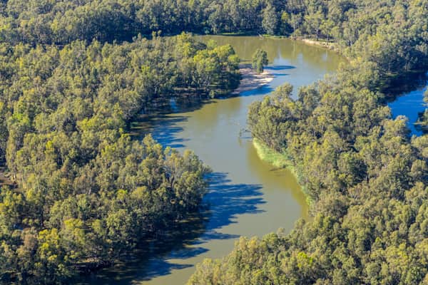
Murray River bend through dense native woodland, Boomanoomana NSW
Boomanoomana NSW 2712
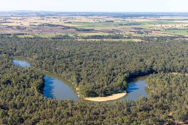
Murray River bend with a sandy point bar, Cobram East VIC
Cobram East VIC 3644
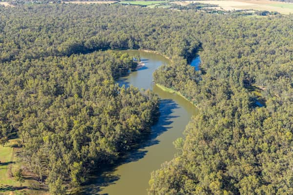
Murray River bend through river red gum woodland, Boomanoomana NSW
Boomanoomana NSW 2712
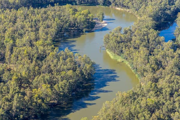
Murray River bend in Berrigan Shire, Boomanoomana NSW
Boomanoomana NSW 2712
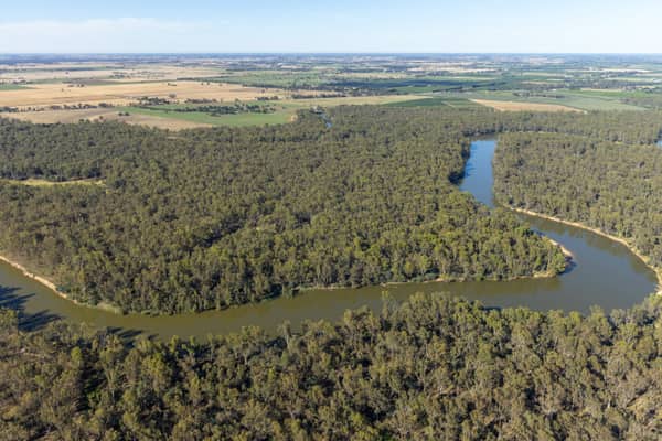
Murray River bend beside farmland and woodland, Cobram East VIC
Cobram East VIC 3644
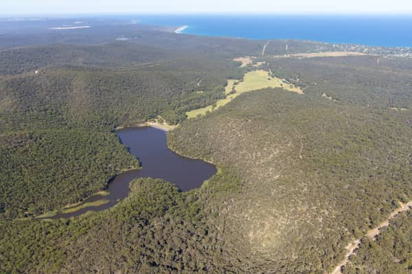
Woodland lake and coastline, Moggs Creek VIC
Moggs Creek VIC 3231