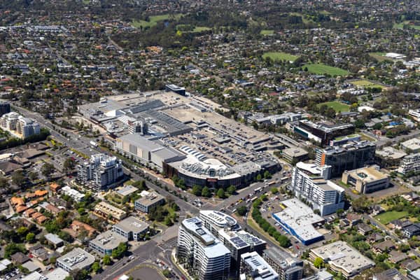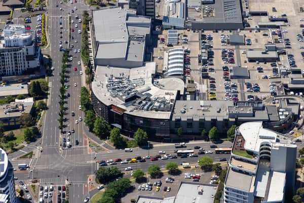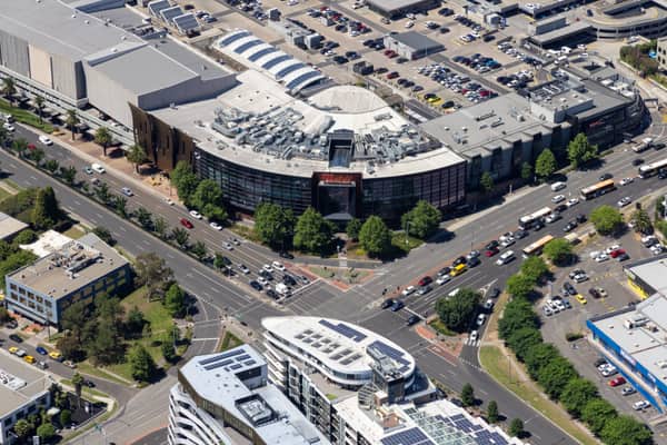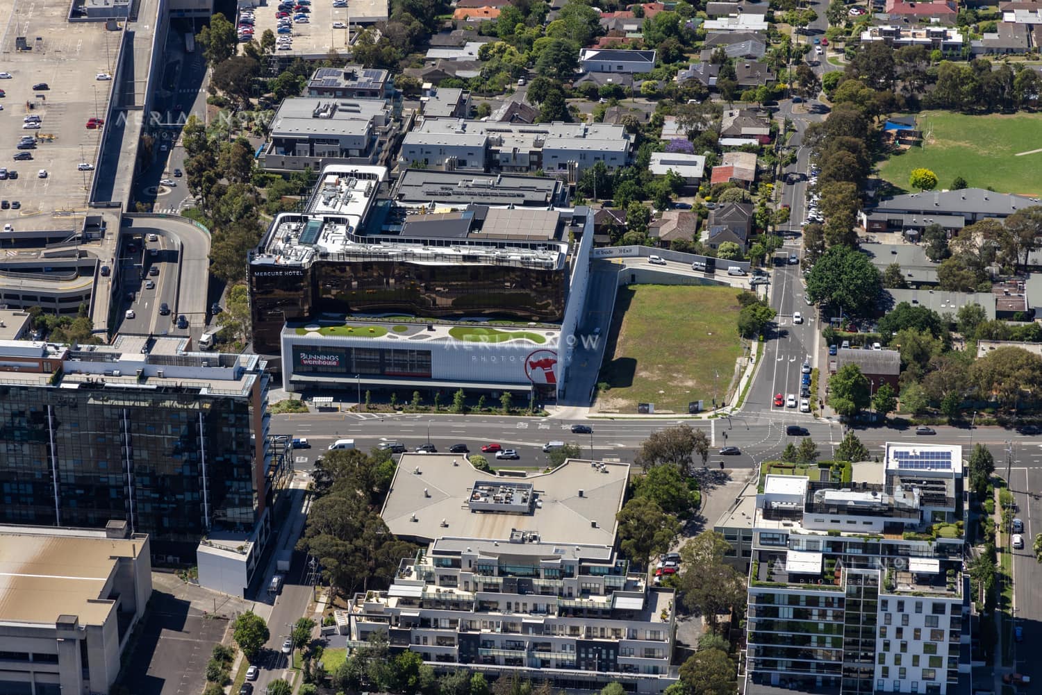
Bunnings Doncaster and Westfield Doncaster aerial view, Doncaster VIC
- Location
- Doncaster, Manningham City, VIC, 3108, AustraliaView Melbourne's eastern suburbs image collection →
- View Type
- Aerial
- Capture Date
- 4 December 2024
- Description
- Captured on 4 December 2024, this aerial photograph looks over Bunnings Doncaster at 659 Doncaster Road, beside Westfield Doncaster in Melbourne's eastern suburbs. The 11,000-square-metre Bunnings forms the base of an approximately 90 million dollar mixed-use project that includes the Mercure Melbourne Doncaster hotel above, basement parking and retail-frontage works along Doncaster Road. The project had a long planning history: an initial proposal was considered in 2013 and Planning Permit PL12/022747 was issued in October 2016. A long-standing 7-Eleven at the north-west corner of Doncaster Road and Council Street, within the wider development land, remained in operation under a lease that planning documents expected to expire in 2022. Its presence required interim access and traffic arrangements before the final roadworks, including added Council Street and Doncaster Road lanes, could proceed. Construction of the Bunnings-hotel development commenced in January 2020 and the store was preparing to open in late 2021, roughly two years later. The image is suited to retail-development reporting, planning, urban-change research and editorial use.
- Named Landmarks
- Bunnings Doncaster, Mercure Melbourne Doncaster, Westfield Doncaster
Keywords
Buy and download
For websites, social posts, presentations and smaller digital placements.
For infrastructure, construction, reports, brochures and commercial marketing.
For higher visibility campaigns, print runs, signage and broader distribution.
Image ID: bd595029
Image Details
This high-resolution archive image captures an aerial view of Bunnings Doncaster and the Mercure Melbourne Doncaster beside Westfield Doncaster, showing Doncaster Road, car parks, apartment buildings, traffic and the surrounding retail precinct. The scene is located around Doncaster, Manningham City, VIC, Australia. It was captured on 4 December 2024. Visible and searchable details include Bunnings Doncaster, Bunnings Warehouse Doncaster, Westfield Doncaster, Mercure Melbourne Doncaster, Doncaster Road, Council Street. The image is suited to planning and infrastructure reports, editorial use, location research, construction communications and commercial visual reference.
Suitable Uses
At a Glance
- Image ID
- BD595029
- View Type
- Aerial
- Capture Date
- 4 December 2024
- Location
- Doncaster, Manningham City, VIC, 3108, Australia
- GPS
- -37.786904, 145.128462
Location Map
This image is geotagged around Doncaster, Manningham City, VIC, 3108, Australia. The map marker uses the embedded GPS position at -37.786904, 145.128462.
Photographer and Usage
Photograph by Aerial Now. This image is part of the Aerial Now archive and is available for commercial, editorial and project-related licensing. For construction progress, infrastructure documentation or a matching current aerial view, book a dedicated shoot through Aerial Now.
Related Images
More licensable imagery from related locations, projects and subjects.