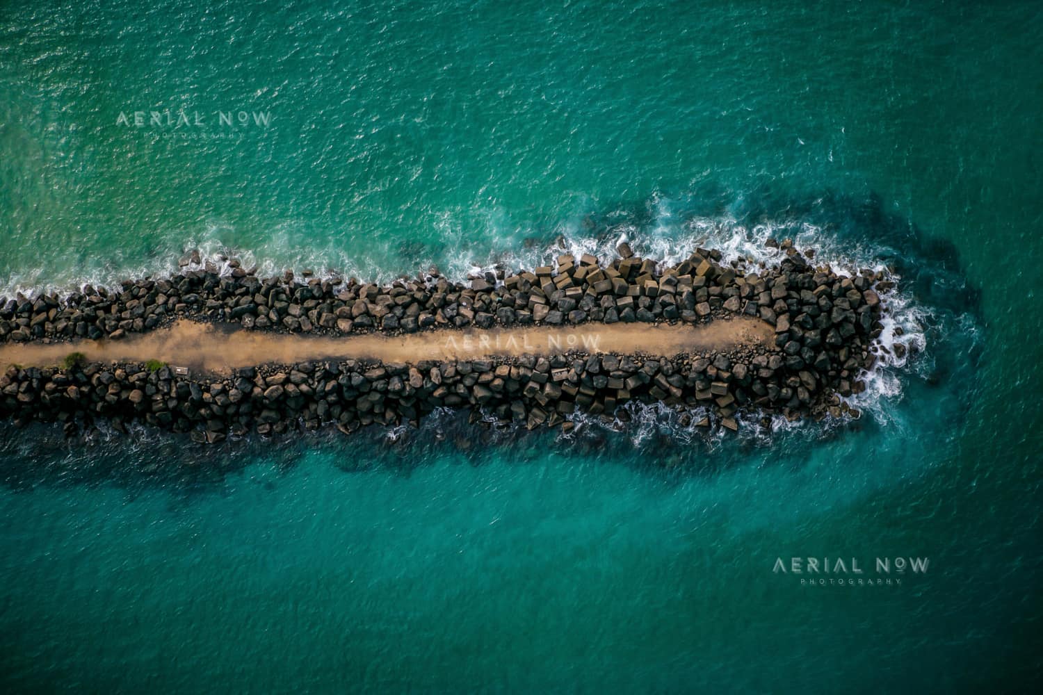
Fingal Head breakwater, Fingal Head NSW
- Location
- Fingal Head, Fingal Head, NSW, 2487, AustraliaView Fingal Head image collection →
- View Type
- Aerial
- Capture Date
- 2 May 2008
- Description
- Captured in May 2008, this aerial photograph records the southern training wall at the Tweed River entrance beside Fingal Head and Letitia Spit. River-training works began here in the 1890s to control a shifting and hazardous entrance channel. The twin entrance breakwaters were substantially extended between 1962 and 1965, with the southern wall completed to 1,440 feet and the northern wall to 1,550 feet using 280,708 tons of rock. The works improved navigation but also interrupted the natural northward movement of sand, leading to the Tweed River Entrance Sand Bypassing Project, which began operating in 2001. The image documents a landmark piece of coastal engineering against clear water on the Northern Rivers coast.
- Named Landmarks
- Tweed River entrance, Fingal Head, Letitia Spit
Keywords
Buy and download
For websites, social posts, presentations and smaller digital placements.
For infrastructure, construction, reports, brochures and commercial marketing.
For higher visibility campaigns, print runs, signage and broader distribution.
Image ID: 8a77f755
Image Details
This high-resolution archive image captures an aerial view of the southern Tweed River entrance training wall beside Fingal Head, with rock armour, access track and turquoise ocean water on the New South Wales north coast. The scene is located around Fingal Head, Fingal Head, NSW, Australia. It was captured on 2 May 2008. Visible and searchable details include Tweed River entrance, southern training wall, Fingal Head breakwater, Fingal Head, Letitia Spit, Tweed River. The image is suited to planning and infrastructure reports, editorial use, location research, construction communications and commercial visual reference.
Suitable Uses
At a Glance
- Image ID
- 8A77F755
- View Type
- Aerial
- Capture Date
- 2 May 2008
- Location
- Fingal Head, Fingal Head, NSW, 2487, Australia
- GPS
- -28.170220, 153.555867
Location Map
This image is geotagged around Fingal Head, Fingal Head, NSW, 2487, Australia. The map marker uses the embedded GPS position at -28.170220, 153.555867.
Photographer and Usage
Photograph by Aerial Now. This image is part of the Aerial Now archive and is available for commercial, editorial and project-related licensing. For construction progress, infrastructure documentation or a matching current aerial view, book a dedicated shoot through Aerial Now.
Related Images
More licensable imagery from related locations, projects and subjects.