
Regional Collection
The Otways aerial photography
Aerial photography across the Otways, covering forest, farmland, reservoirs and inland communities around Barwon Downs, Beech Forest, Carlisle River and Forrest.
7
Images
1
Collections
Otway RangesVictoriaForrest VICBeech Forest VICOtway Ranges VICregional VictoriaForrest Victoriaaerial landscape
Places in this collection
Barwon Downs · Beech Forest · Carlisle River · Forrest
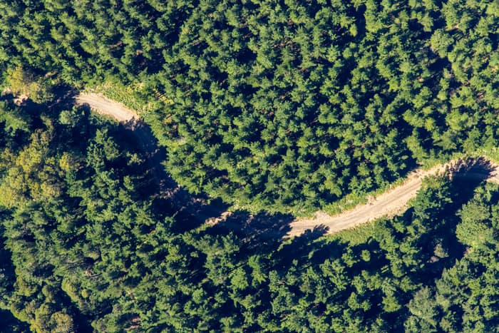
Unsealed forest track, Beech Forest VIC
Beech Forest VIC 3237
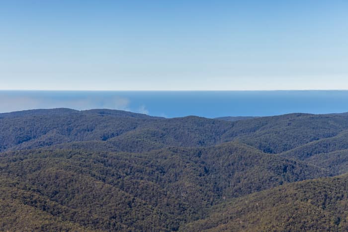
Great Otway National Park forest ranges, near Lorne VIC
Barwon Downs VIC 3243
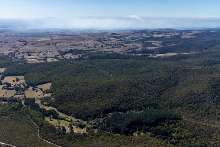
Otway forest and farmland, Forrest VIC
Barwon Downs VIC 3243
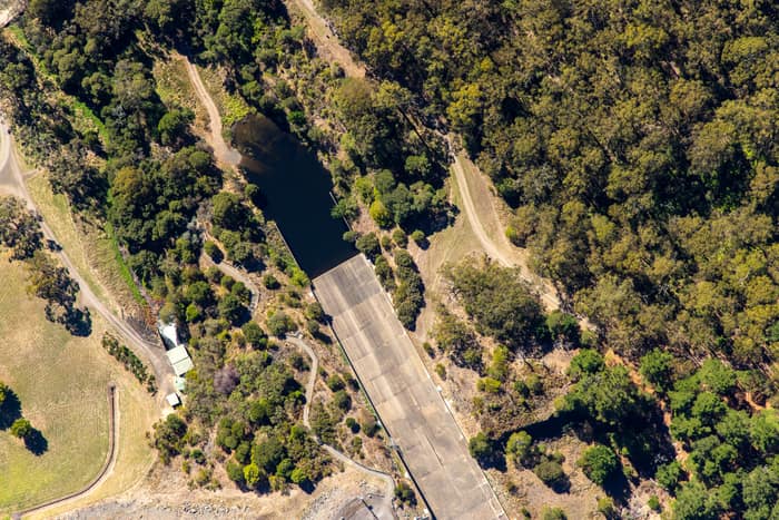
West Barwon Reservoir inlet and bushland, Forrest VIC
Forrest VIC 3236
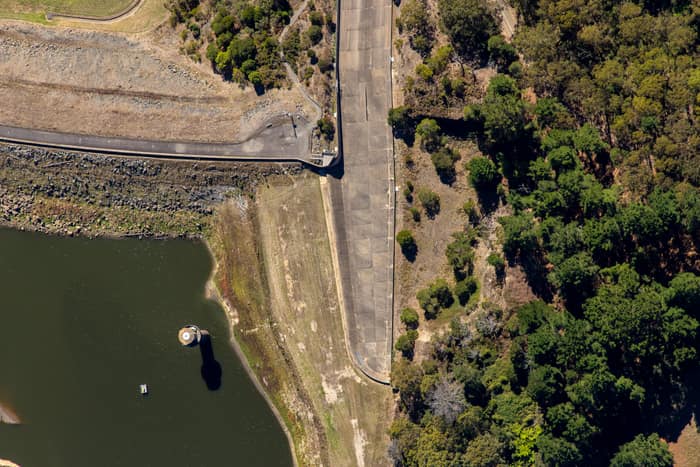
West Barwon Reservoir dam wall, Forrest VIC
Forrest VIC 3236
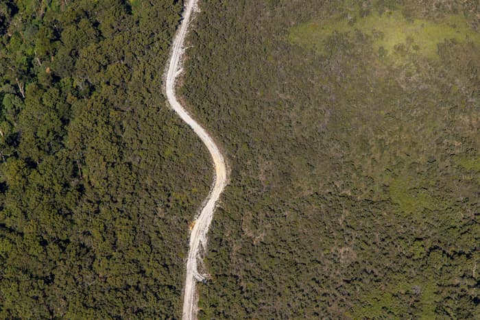
Winding bush track, Carlisle River VIC
Carlisle River VIC 3239
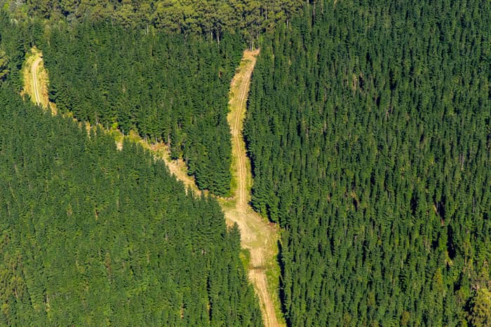
Pine plantation firebreak, Beech Forest VIC
Beech Forest VIC 3237