
AERIAL NOW / Archive
Browse Aerial Photography
Construction, infrastructure and development aerial photography across Melbourne and Victoria.
19 images
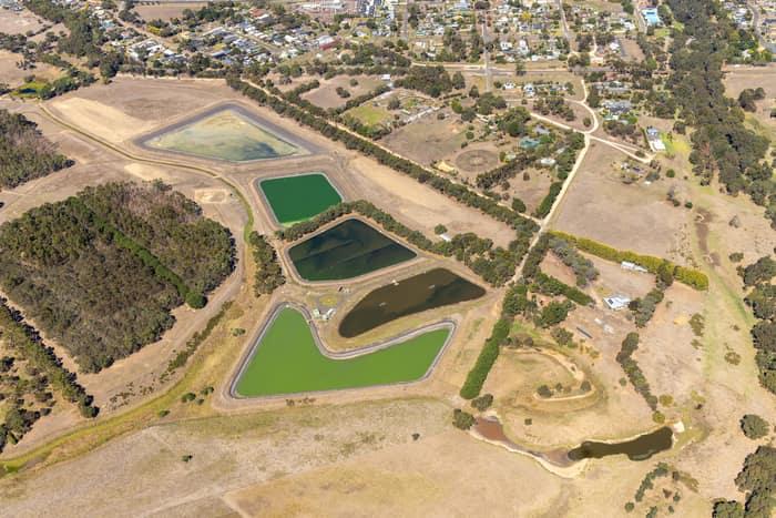
Wastewater treatment ponds, Winchelsea VIC
Winchelsea VIC 3241
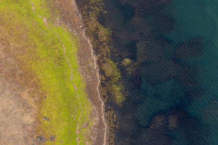
Lake Modewarre shoreline with grassy foreshore, Modewarre VIC
Wurdiboluc VIC 3241
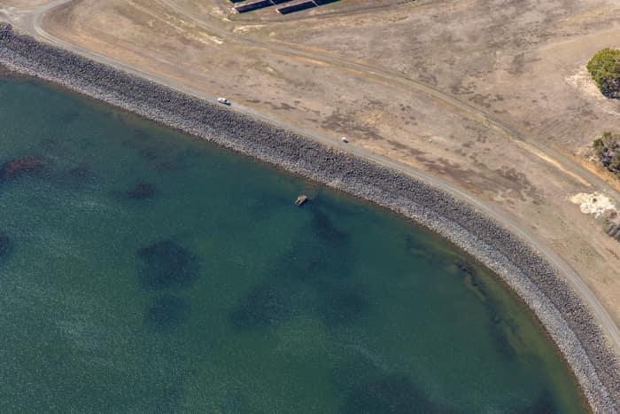
Wurdee Boluc Reservoir shoreline, Wurdiboluc VIC
Wurdiboluc VIC 3241

Murray River bend through dense native woodland, Boomanoomana NSW
Boomanoomana NSW 2712

Meandering river and woodland, Boomanoomana NSW
Boomanoomana NSW 2712
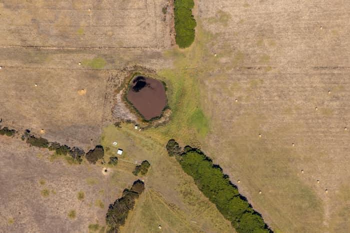
Farm dam and dry pasture, Princetown VIC
Princetown VIC 3269

Murray River bend through river red gum woodland, Cobram East VIC
Cobram East VIC 3644

Murray River bend through river red gum woodland, Boomanoomana NSW
Boomanoomana NSW 2712

Murray River bend in Berrigan Shire, Boomanoomana NSW
Boomanoomana NSW 2712
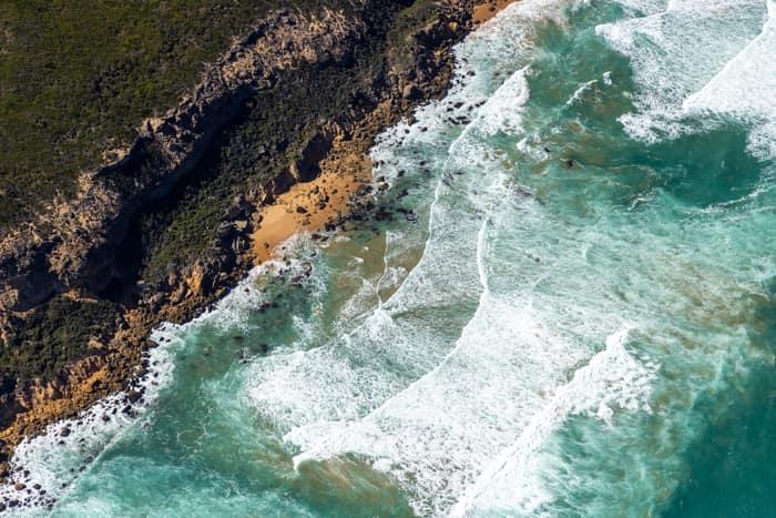
Port Campbell National Park coastline with rocky coves, Princetown VIC
Princetown VIC 3269
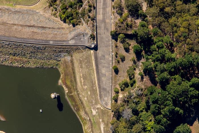
West Barwon Reservoir dam wall, Forrest VIC
Forrest VIC 3236

Wooded river bend, Boomanoomana NSW
Boomanoomana NSW 2712

Farm dam and farmland, Bannockburn VIC
Bannockburn VIC 3331

North East Link construction with road realignments, Heidelberg VIC
Heidelberg VIC 3084

Murray River point bar, Cobram East VIC
Cobram East VIC 3644

Murray River bend through red gum forest, Cobram East VIC
Cobram East VIC 3644

Murray River bend beside agricultural paddocks, Boomanoomana NSW
Boomanoomana NSW 2712

Murray River bend with a sandy point bar, Cobram East VIC
Cobram East VIC 3644
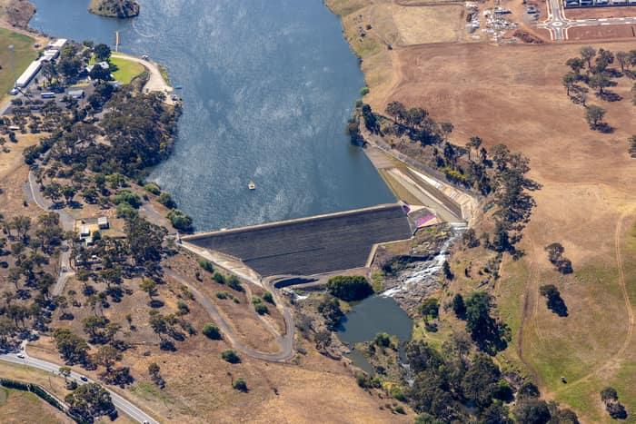
Melton Reservoir dam wall, Melton VIC
Melton VIC 3337