
AERIAL NOW / Archive
Browse Aerial Photography
Construction, infrastructure and development aerial photography across Melbourne and Victoria.
23 images

Westfield Doncaster shopping centre with arterial roads, Doncaster VIC
Doncaster VIC 3108


Pacific Werribee shopping centre, Werribee VIC
Werribee VIC 3030
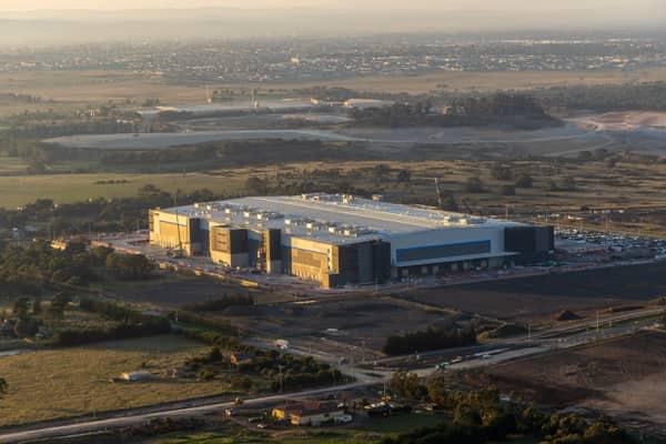
Industrial warehouse, Mickleham VIC
Mickleham VIC 3064

Craigieburn Road commercial precinct, Craigieburn VIC
Craigieburn VIC 3064
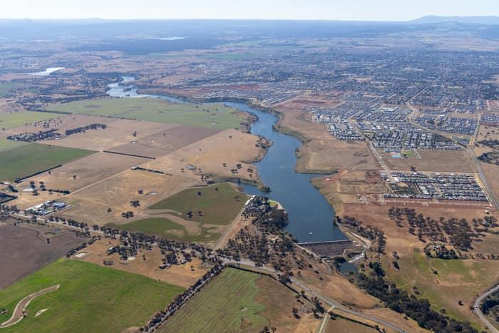
Melton Reservoir and Werribee River, Melton VIC
Melton VIC 3337

North East Link construction beside Bulleen Park, Bulleen VIC
Bulleen VIC 3105
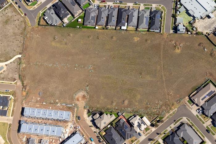
Agate Drive residential development site, Tarneit VIC
Tarneit VIC 3029


Bourke Street city blocks, Melbourne VIC
Melbourne VIC 3000
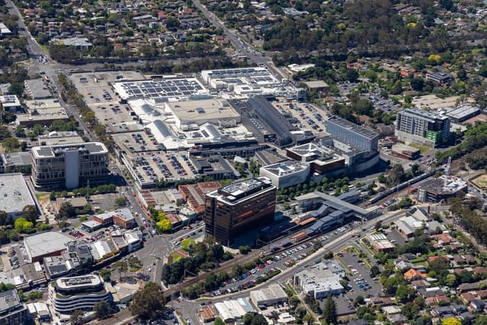
Eastland Shopping Centre, Ringwood VIC
Ringwood VIC 3134
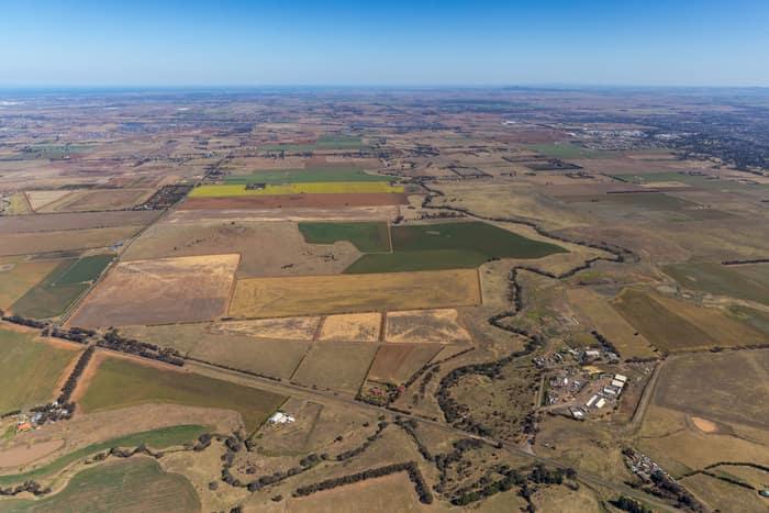
Mount Cottrell Road farmland, Melton VIC
Melton VIC 3337

Aerial view of Fitzsimons Lane Bridge, Yarra River and traffic, Templestowe VIC
Templestowe VIC 3106
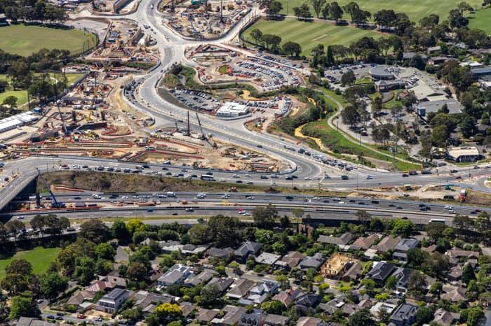
North East Link construction, Balwyn North VIC
Balwyn North VIC 3104
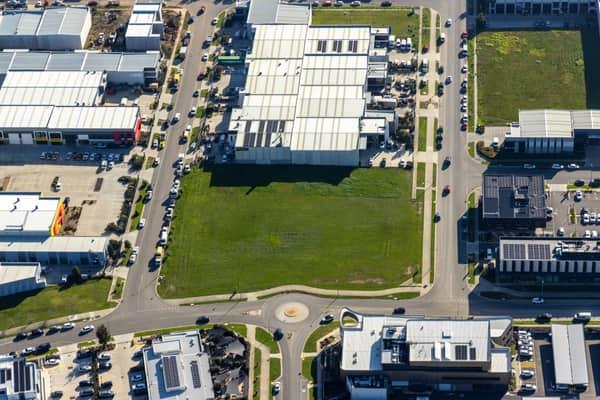
Vacant industrial land, Clyde North VIC
Clyde North VIC 3978
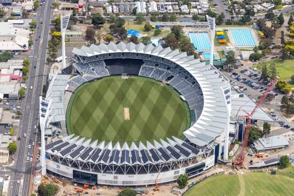

North East Link construction beside Manningham Road, Bulleen VIC
Bulleen VIC 3105

Parliament House and Spring Street, Melbourne VIC
East Melbourne VIC 3002
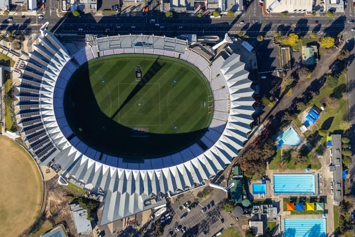

Chilworth Street housing estate, Donnybrook VIC
Donnybrook VIC 3064

Craigieburn Road and Craigieburn Central, Craigieburn VIC
Craigieburn VIC 3064
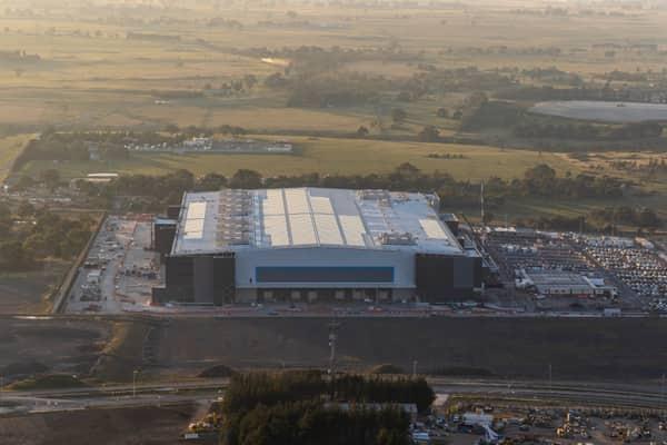
Amazon Robotics Fulfilment Centre, Craigieburn VIC
Craigieburn VIC 3064