Aerial Now

High-resolution aerial photography for construction progress, infrastructure projects and development documentation across Melbourne and Victoria.

Copyright Aerial Now. Images may not be copied, downloaded or reproduced without a licence.

Archive

Browse archiveProjectsLocationsMapLicensing

Aerial Now

Main websiteBook a shootRequest licenceClient portalPrivacy policy
Aerial Now
Client PortalBook a shoot
BrowseProjectsLocationsMapLicensingClient Portal
AERIAL NOW / Archive

Browse Aerial Photography

Construction, infrastructure and development aerial photography across Melbourne and Victoria.

4 images
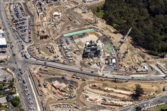
Aerial view of North East Link construction works in Bulleen, with major roadworks, cranes, machinery, site compounds and traffic on surrounding arterial roads.
North East Link construction along the Bulleen road corridor, Bulleen VIC
Bulleen VIC 3105
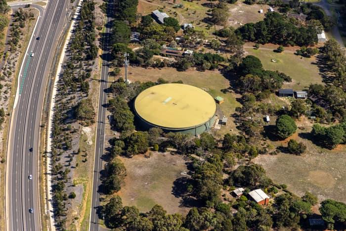
Aerial view of a large circular water storage tank beside Andersons Road in Drysdale, with nearby rural properties, trees and a divided road corridor.
Water storage tank, Andersons Road Drysdale VIC
Drysdale VIC 3222
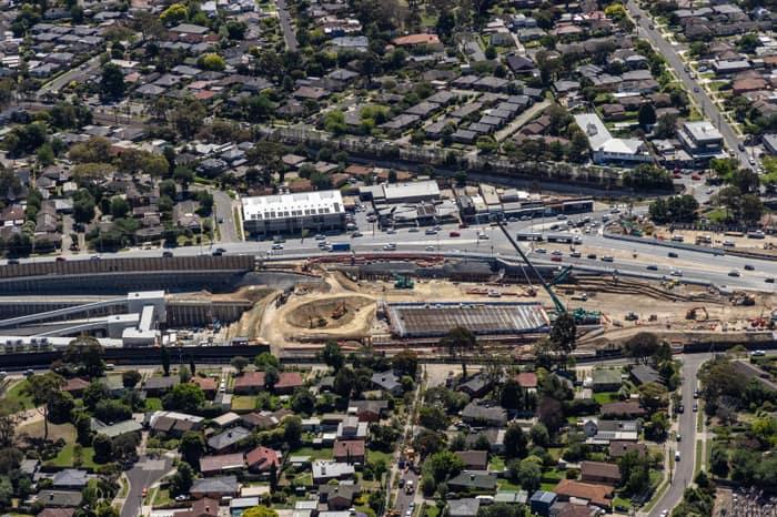
Aerial view of North East Link construction works beside Service Road in Watsonia, with excavation areas, retaining walls, traffic and surrounding suburban streets.
North East Link construction beside Service Road, Watsonia VIC
Watsonia VIC 3087
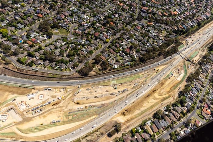
Aerial view of North East Link construction works in Watsonia North, with road lanes, earthworks, machinery, traffic and surrounding residential streets visible.
North East Link construction, Watsonia North VIC
Watsonia North VIC 3087