
AERIAL NOW / Archive
Browse Aerial Photography
Construction, infrastructure and development aerial photography across Melbourne and Victoria.
7 images
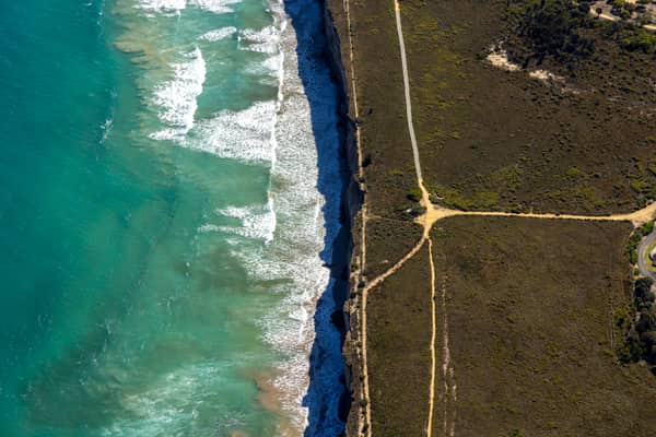
Anglesea ocean cliffs and Bass Strait, Anglesea VIC
Anglesea VIC 3230
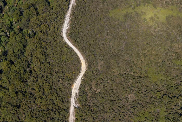
Winding bush track, Carlisle River VIC
Carlisle River VIC 3239
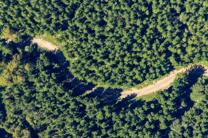
Forest track, Otway Ranges VIC
Beech Forest VIC 3237
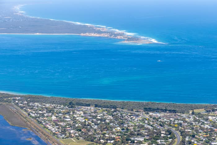
Point Lonsdale coastline, Point Lonsdale VIC
Point Lonsdale VIC 3225
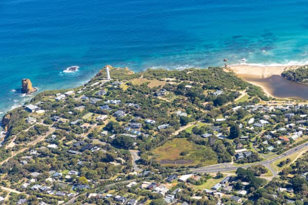
Split Point Lighthouse and Eagle Rock near Painkalac Creek, Aireys Inlet VIC
Aireys Inlet VIC 3231
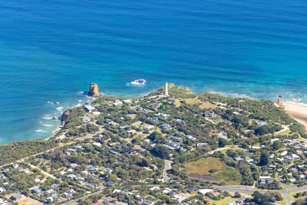
Split Point Lighthouse and Eagle Rock above coastal beach, Aireys Inlet VIC
Aireys Inlet VIC 3231
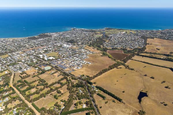
Torquay coastline and residential estates, Torquay VIC
Torquay VIC 3228