
AERIAL NOW / Archive
Browse Aerial Photography
Construction, infrastructure and development aerial photography across Melbourne and Victoria.
25 images
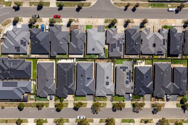
Haldon Avenue residential homes, Mickleham VIC
Mickleham VIC 3064
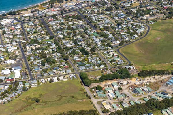
Apollo Bay Beach and residential streets, Apollo Bay VIC
Apollo Bay VIC 3233
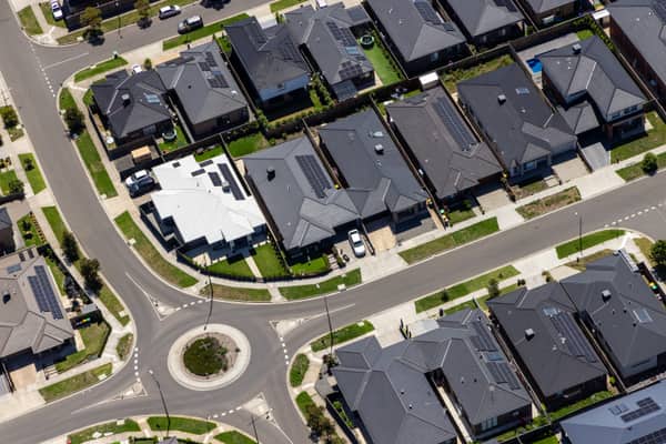
Bethnal Avenue residential estate, Wollert VIC
Wollert VIC 3750
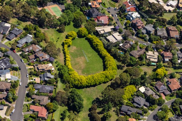
Suburban parkland and homes, Doncaster East VIC
Doncaster East VIC 3109
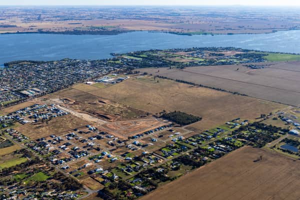
Lake Mulwala residential subdivision, Yarrawonga VIC
Yarrawonga VIC 3730
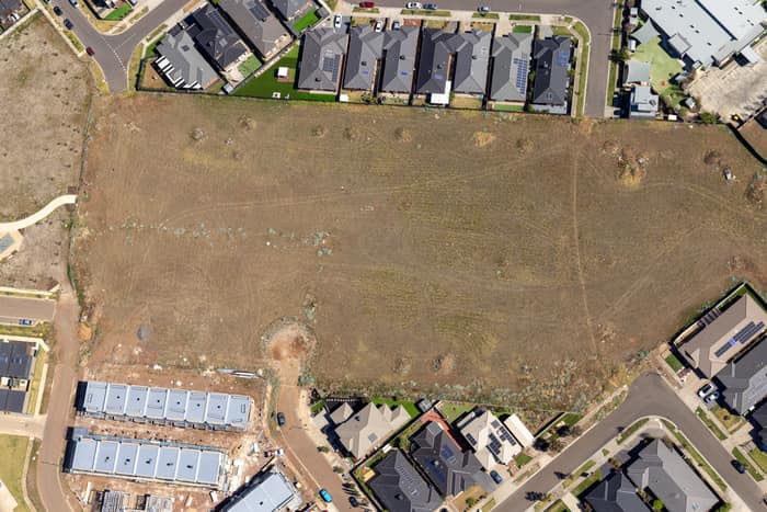
Agate Drive residential development site, Tarneit VIC
Tarneit VIC 3029
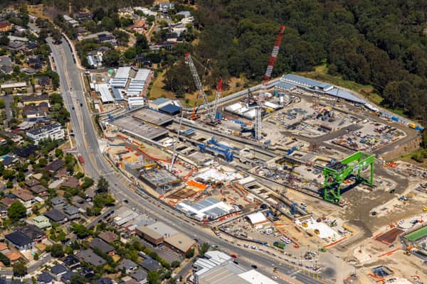
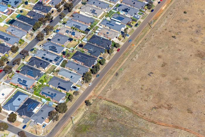
Brookfield residential estate and vacant land, Brookfield VIC
Brookfield VIC 3338
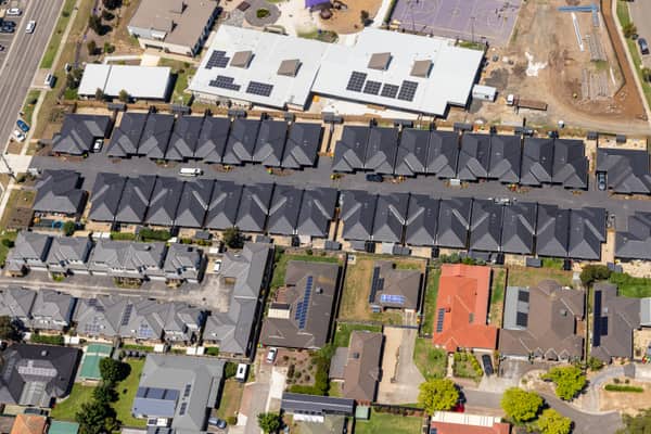
Marsh Crescent housing estate, Sunbury VIC
Sunbury VIC 3429
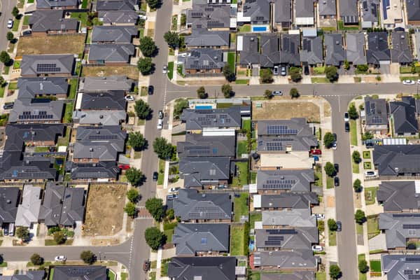
Hollington Drive housing estate, Mickleham VIC
Mickleham VIC 3064
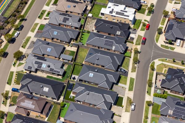
Light Horse Circuit housing estate, Sunbury VIC
Sunbury VIC 3429
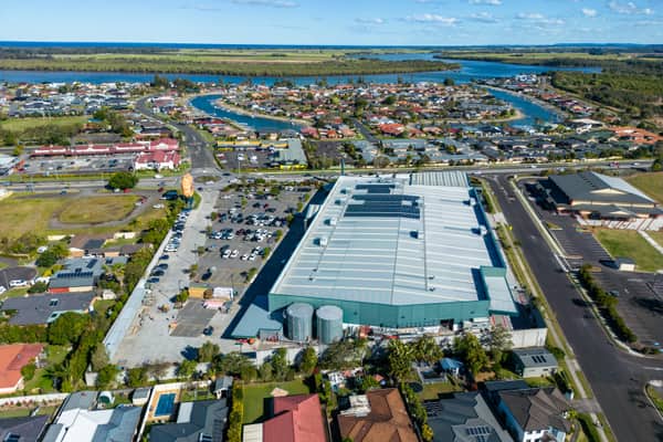
Big Prawn and Bunnings West Ballina, NSW
West Ballina NSW 2478
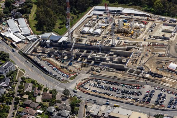
North East Link construction beside Bulleen Road, Bulleen VIC
Bulleen VIC 3105
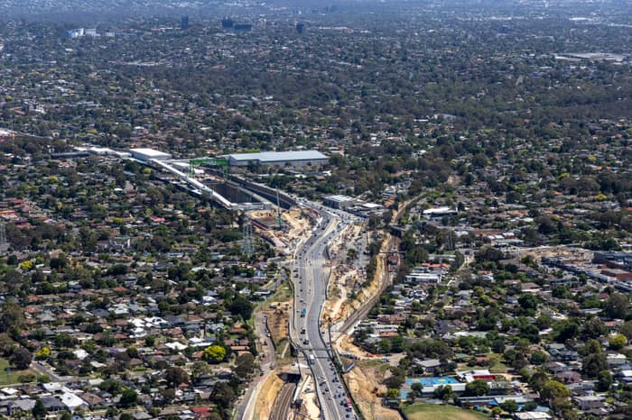
North East Link construction around Greensborough Road, Watsonia VIC
Watsonia VIC 3087
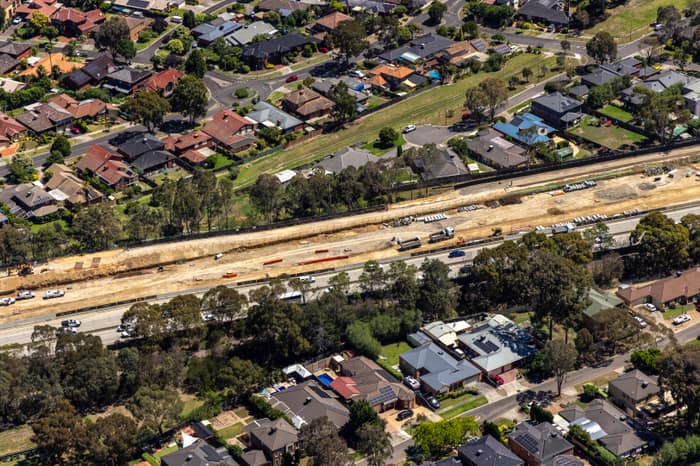
North East Link construction corridor, Watsonia North VIC
Watsonia North VIC 3087
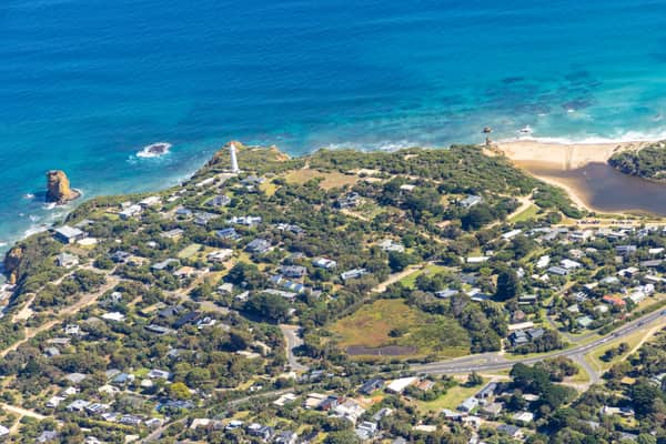
Split Point Lighthouse and Eagle Rock near Painkalac Creek, Aireys Inlet VIC
Aireys Inlet VIC 3231
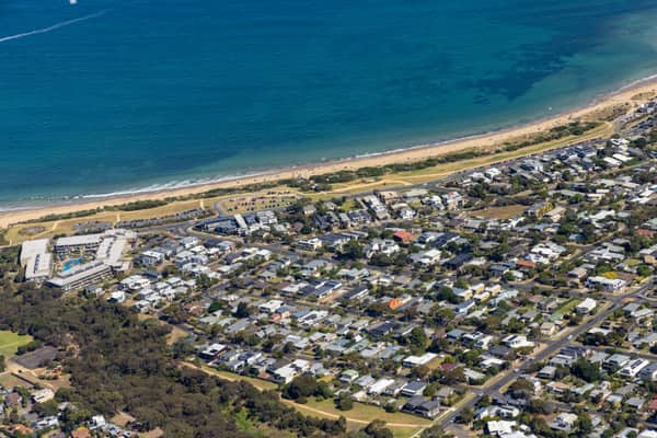
Fishermans Beach and The Esplanade, Torquay VIC
Torquay VIC 3228
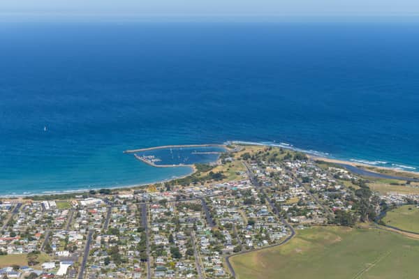
Apollo Bay Harbour, Apollo Bay VIC
Apollo Bay VIC 3233
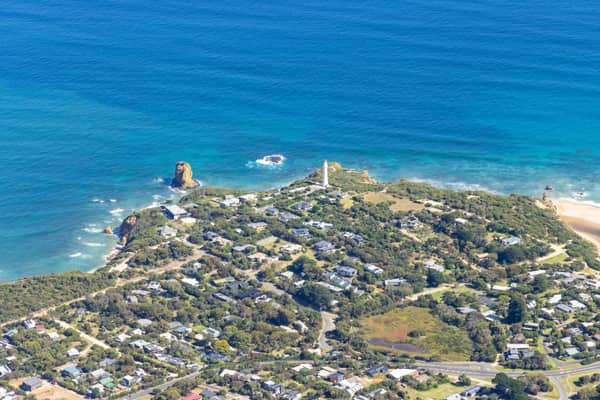
Split Point Lighthouse and Eagle Rock above coastal beach, Aireys Inlet VIC
Aireys Inlet VIC 3231
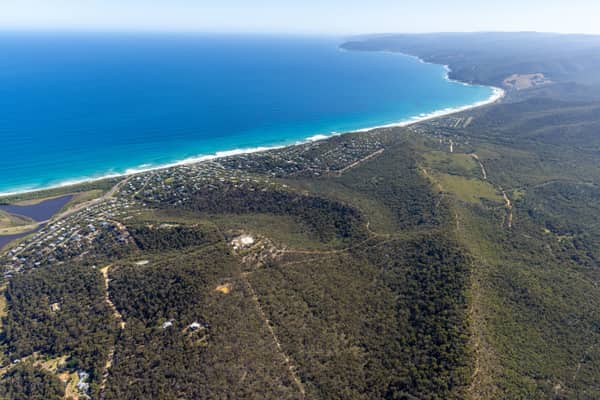
Fairhaven Beach coastline, Fairhaven VIC
Fairhaven VIC 3231
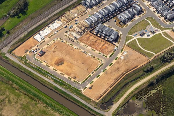
Casey Green Estate construction aerial view, Narre Warren VIC
Narre Warren VIC 3805
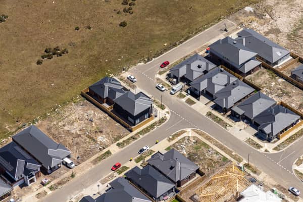
Chilworth Street housing estate, Donnybrook VIC
Donnybrook VIC 3064
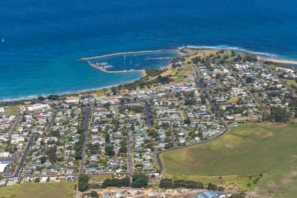
Apollo Bay Harbour and township with curved beach, Apollo Bay VIC
Apollo Bay VIC 3233
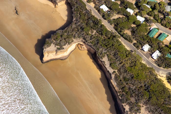
Surf Coast beach and eroded cliffs, Anglesea VIC
Anglesea VIC 3230
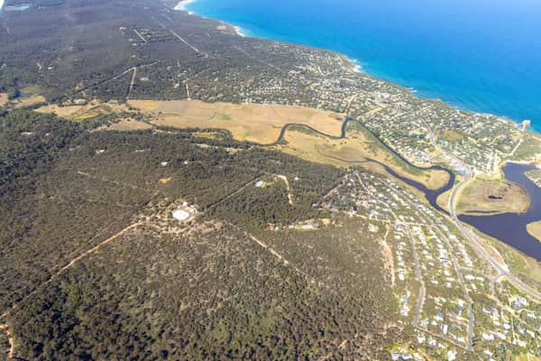
Painkalac Creek estuary, Aireys Inlet VIC
Fairhaven VIC 3231