
AERIAL NOW / Archive
Browse Aerial Photography
Construction, infrastructure and development aerial photography across Melbourne and Victoria.
17 images
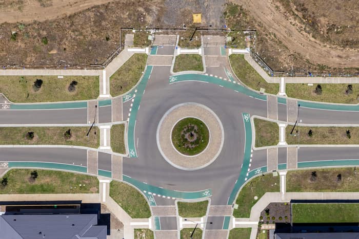
Residential estate roundabout, Mickleham VIC
Mickleham VIC 3064
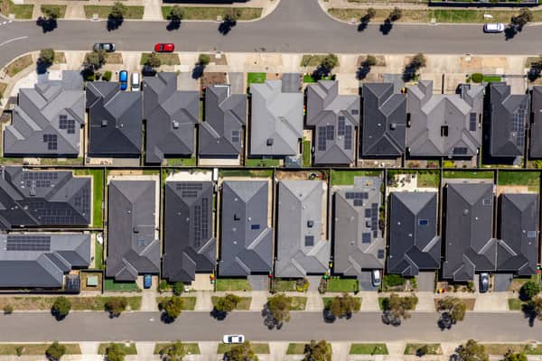
Haldon Avenue residential homes, Mickleham VIC
Mickleham VIC 3064
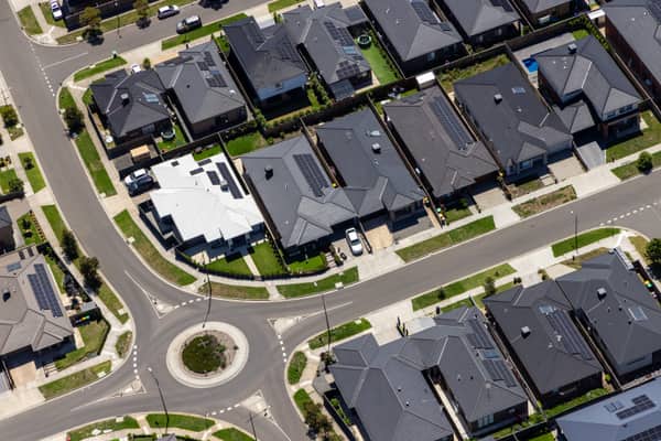
Bethnal Avenue residential estate, Wollert VIC
Wollert VIC 3750
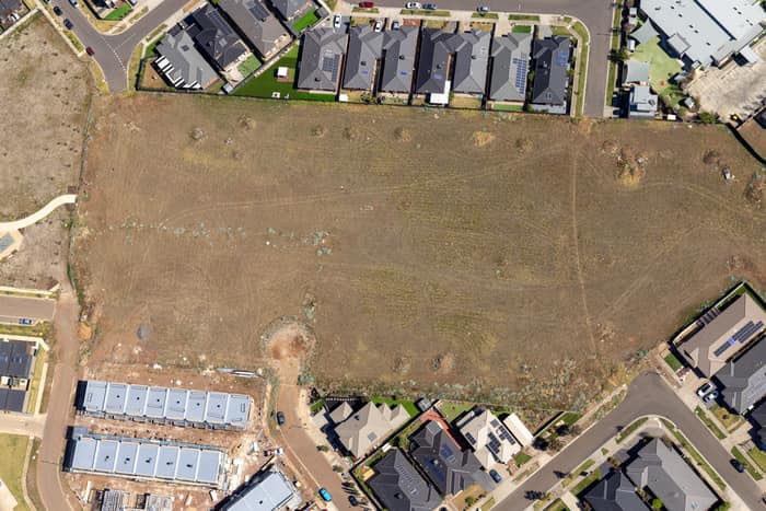
Agate Drive residential development site, Tarneit VIC
Tarneit VIC 3029
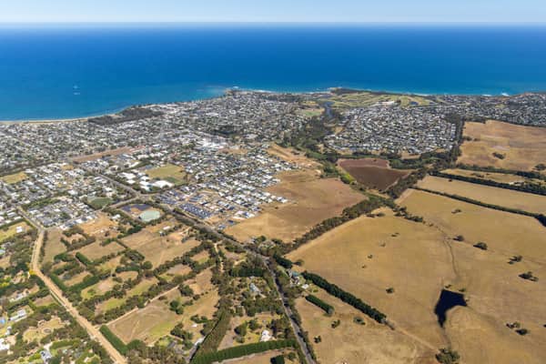
Torquay coastline and residential estates, Torquay VIC
Torquay VIC 3228
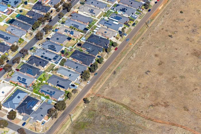
Brookfield residential estate and vacant land, Brookfield VIC
Brookfield VIC 3338
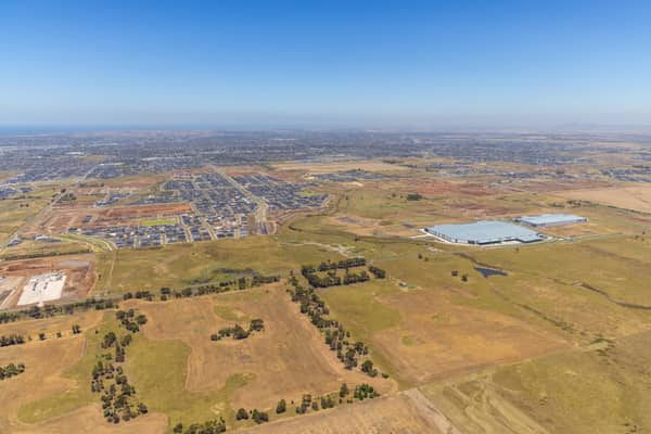
Boundary Road growth corridor aerial view, Truganina VIC
Truganina VIC 3029
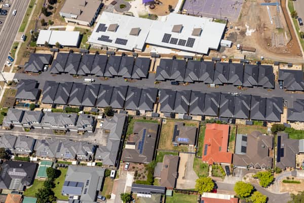
Marsh Crescent housing estate, Sunbury VIC
Sunbury VIC 3429
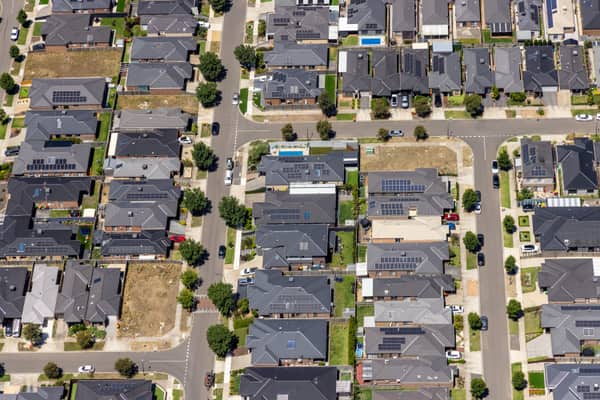
Hollington Drive housing estate, Mickleham VIC
Mickleham VIC 3064
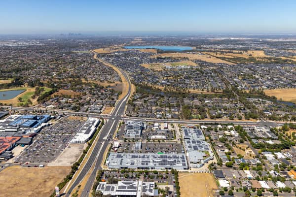
Craigieburn Road retail and housing, Craigieburn VIC
Craigieburn VIC 3064
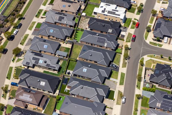
Light Horse Circuit housing estate, Sunbury VIC
Sunbury VIC 3429
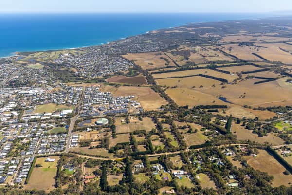
Torquay coastline and farmland, Torquay VIC
Torquay VIC 3228
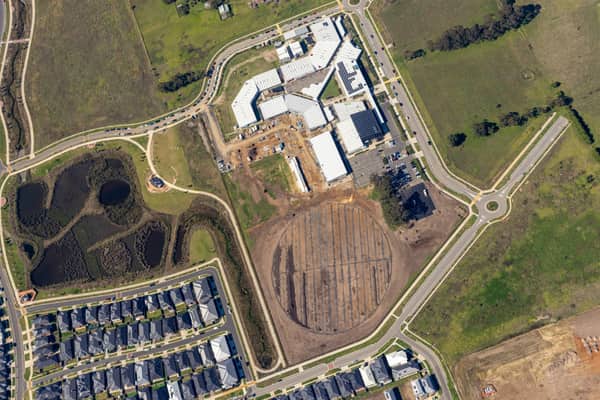
Clyde Secondary College expansion aerial view, Clyde VIC
Clyde VIC 3978
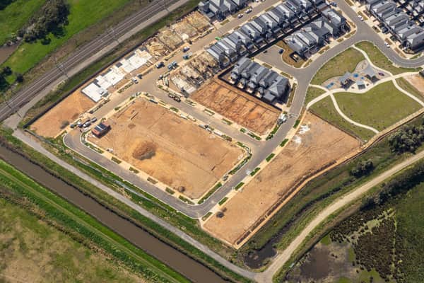
Casey Green Estate construction aerial view, Narre Warren VIC
Narre Warren VIC 3805
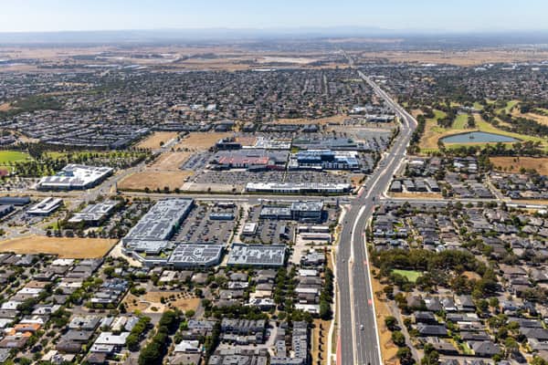
Craigieburn Road commercial precinct, Craigieburn VIC
Craigieburn VIC 3064
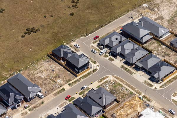
Chilworth Street housing estate, Donnybrook VIC
Donnybrook VIC 3064
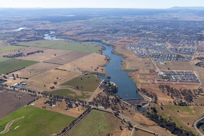
Melton Reservoir and Werribee River, Melton VIC
Melton VIC 3337