
Aerial Now

High-resolution aerial photography for construction progress, infrastructure projects and development documentation across Melbourne and Victoria.

Copyright Aerial Now. Images may not be copied, downloaded or reproduced without a licence.

Archive

Browse archiveProjectsLocationsMapLicensing

Aerial Now

Main websiteBook a shootRequest licenceClient portalPrivacy policy
Aerial Now
Client PortalBook a shoot
BrowseProjectsLocationsMapLicensingClient Portal
AERIAL NOW / Archive

Browse Aerial Photography

Construction, infrastructure and development aerial photography across Melbourne and Victoria.

6 images
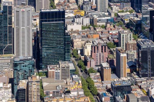
Aerial view of high-rise office towers and apartment buildings in Melbourne CBD, with dense city blocks, street trees and visible Aon signage.
Melbourne CBD high-rise buildings, Melbourne VIC
Melbourne VIC 3000
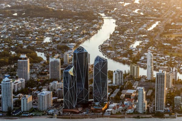
Aerial view of the Jewel Gold Coast towers on the Surfers Paradise beachfront with high-rise buildings, beach sand and inland Gold Coast waterways behind.
Jewel Gold Coast towers, Surfers Paradise QLD
Surfers Paradise QLD 4217
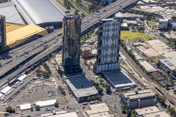
Aerial view of high-rise towers on Normanby Road in Southbank beside the West Gate Freeway and the Melbourne Convention and Exhibition Centre.
Normanby Road towers and West Gate Freeway, Southbank VIC
Southbank VIC 3006
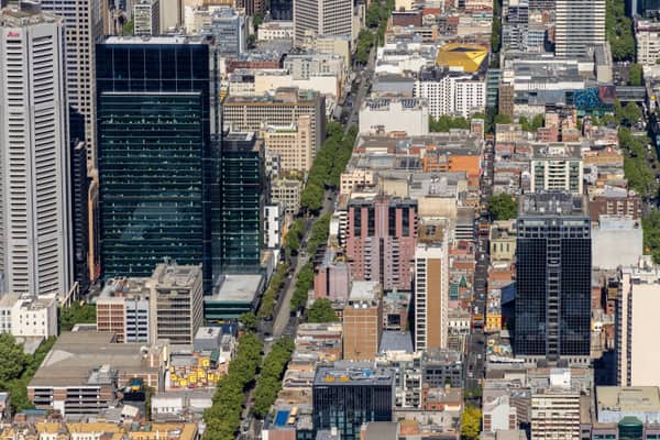
Aerial view of Bourke Street and dense Melbourne CBD city blocks with high-rise office towers, streets, rooftops and tree-lined roads.
Bourke Street city blocks, Melbourne VIC
Melbourne VIC 3000
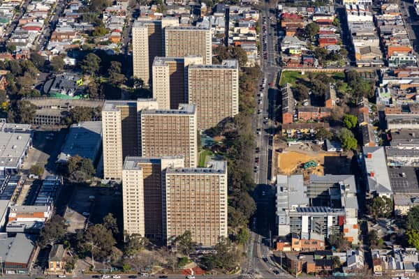
Aerial view of the Elizabeth Street public housing towers and 106 Elizabeth Street redevelopment site in Richmond, Melbourne.
Elizabeth Street public housing aerial view, Richmond VIC
Richmond VIC 3121
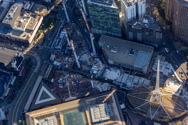
Aerial construction-progress view of the Melbourne Arts Precinct Transformation, with tower cranes, concrete works and the Arts Centre Melbourne spire in Southbank, Victoria.
Melbourne Arts Precinct Transformation, Southbank VIC
Southbank VIC 3006