Aerial Now

High-resolution aerial photography for construction progress, infrastructure projects and development documentation across Melbourne and Victoria.

Copyright Aerial Now. Images may not be copied, downloaded or reproduced without a licence.

Archive

Browse archiveProjectsLocationsMapLicensing

Aerial Now

Main websiteBook a shootRequest licenceClient portalPrivacy policy
Aerial Now
Client PortalBook a shoot
BrowseProjectsLocationsMapLicensingClient Portal
AERIAL NOW / Archive

Browse Aerial Photography

Construction, infrastructure and development aerial photography across Melbourne and Victoria.

11 images
Aerial view of Painkalac Creek winding through estuary wetlands beside coastal housing, bushland and the Surf Coast shoreline at Aireys Inlet and Fairhaven in Victoria.
Painkalac Creek estuary, Aireys Inlet VIC
Fairhaven VIC 3231
Aerial view of the Anglesea coastline with residential estates, coastal bushland, access tracks and blue ocean water in Anglesea, Victoria.
Anglesea coastline and residential estates, Anglesea VIC
Anglesea VIC 3230
Aerial view of Fairhaven Beach in Fairhaven VIC, showing the surf coastline, residential streets, coastal bushland and blue ocean along the Great Ocean Road region.
Fairhaven Beach coastline, Fairhaven VIC
Fairhaven VIC 3231
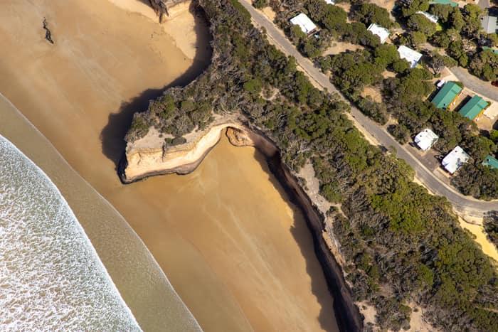
Aerial view of a sandy beach, eroded coastal cliffs, bushland and nearby houses along the Anglesea coastline in Victoria.
Surf Coast beach and eroded cliffs, Anglesea VIC
Anglesea VIC 3230
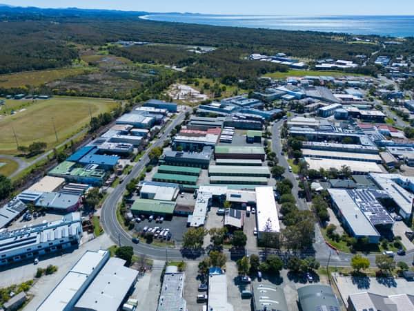
Aerial view of the Centennial Circuit industrial estate in Byron Bay, with warehouses, commercial buildings, parked vehicles, surrounding bushland and the coastline in the background.
Centennial Circuit industrial estate, Byron Bay NSW
Byron Bay NSW 2481
Aerial view of Painkalac Creek, Split Point Lighthouse and the surrounding Aireys Inlet and Fairhaven coastline in Victoria.
Painkalac Creek and Split Point Lighthouse, Aireys Inlet VIC
Fairhaven VIC 3231
Aerial view of Anglesea coastline, residential streets, bushland reserves and ocean surf in Anglesea, Victoria.
Anglesea coastline and residential area, Anglesea VIC
Anglesea VIC 3230
Aerial view of a dark woodland lake surrounded by dense bushland near Moggs Creek, with Surf Coast coastline and ocean visible in the distance.
Woodland lake and coastline, Moggs Creek VIC
Moggs Creek VIC 3231
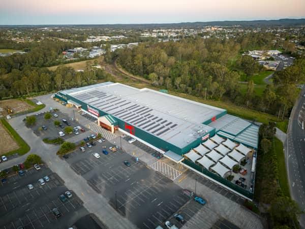
Aerial view of Bunnings Warehouse Taree on Wingham Road with car parking, surrounding trees and nearby commercial areas in Taree NSW.
Bunnings Warehouse Taree, Taree NSW
Taree NSW 2430
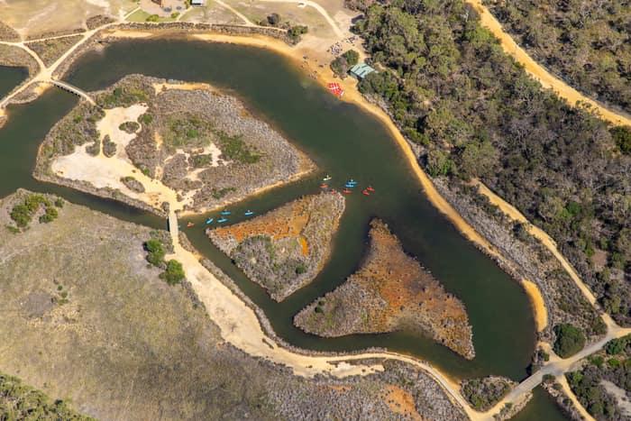
Aerial view of Coogoorah Park and the Anglesea River wetlands in Anglesea VIC, with kayaks on winding waterways, sandy banks, islands, tracks and surrounding bushland.
Coogoorah Park and Anglesea River with kayakers, Anglesea VIC
Anglesea VIC 3230
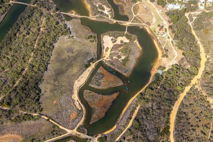
Aerial view of Coogoorah Park wetlands and the Anglesea River channels in Anglesea, Victoria, with walking tracks, sandy banks and surrounding bushland.
Coogoorah Park and Anglesea River with tidal channels, Anglesea VIC
Anglesea VIC 3230