
AERIAL NOW / Archive
Browse Aerial Photography
Construction, infrastructure and development aerial photography across Melbourne and Victoria.
11 images
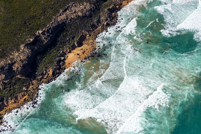
Port Campbell National Park coastline with rocky coves, Princetown VIC
Princetown VIC 3269
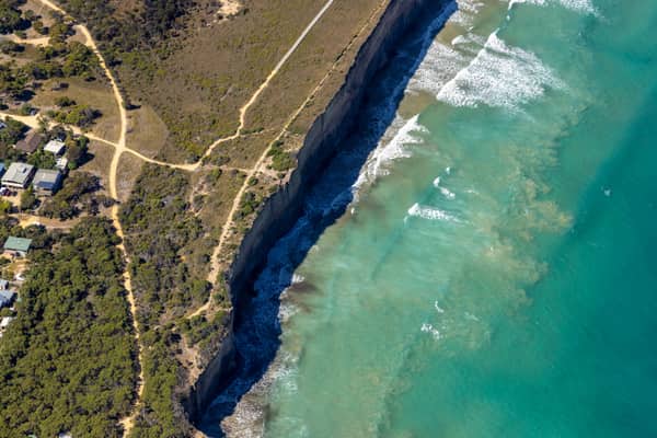
Anglesea cliffs and Bass Strait coastline, Anglesea VIC
Anglesea VIC 3230
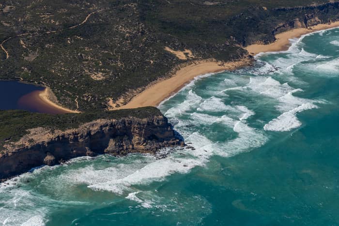
Princetown coastline and estuary, Princetown VIC
Princetown VIC 3269
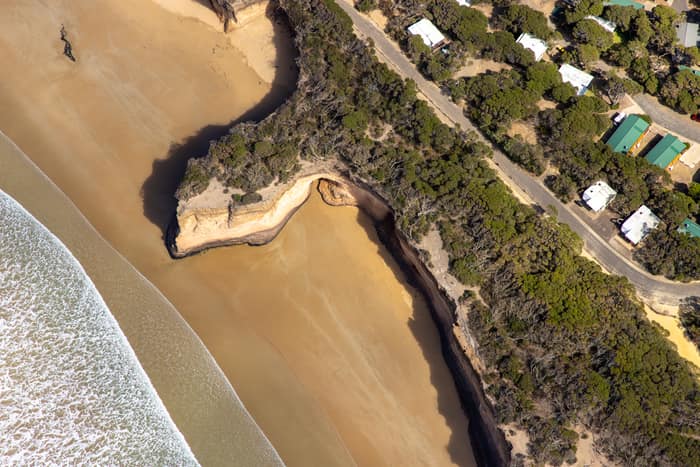
Surf Coast beach and eroded cliffs, Anglesea VIC
Anglesea VIC 3230
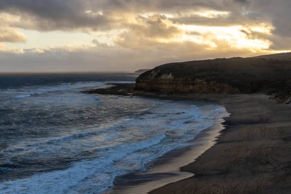
Bells Beach coastline, Bells Beach VIC
Bells Beach VIC 3228
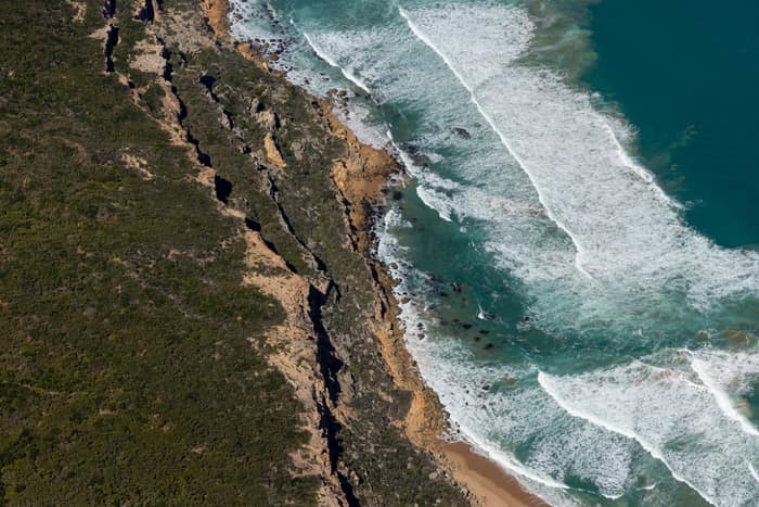
Port Campbell National Park coastline with beach and surf, Princetown VIC
Princetown VIC 3269
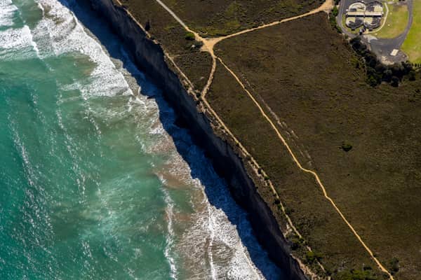
Anglesea coastal cliffs and Bass Strait, Anglesea VIC
Anglesea VIC 3230
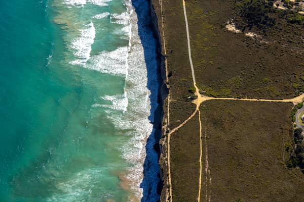
Anglesea ocean cliffs and Bass Strait, Anglesea VIC
Anglesea VIC 3230
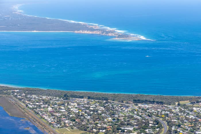
Point Lonsdale coastline, Point Lonsdale VIC
Point Lonsdale VIC 3225
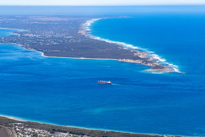
Port Phillip Heads and Point Nepean, Point Lonsdale VIC
Point Lonsdale VIC 3225
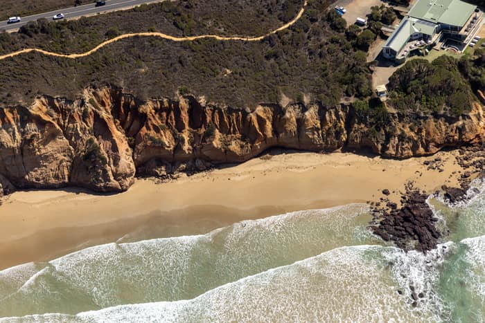
Demons Bluff Beach, Anglesea VIC
Anglesea VIC 3230