
AERIAL NOW / Archive
Browse Aerial Photography
Construction, infrastructure and development aerial photography across Melbourne and Victoria.
37 images

Anglesea coastal cliffs and Bass Strait, Anglesea VIC
Anglesea VIC 3230

Torquay coastline and farmland, Torquay VIC
Torquay VIC 3228
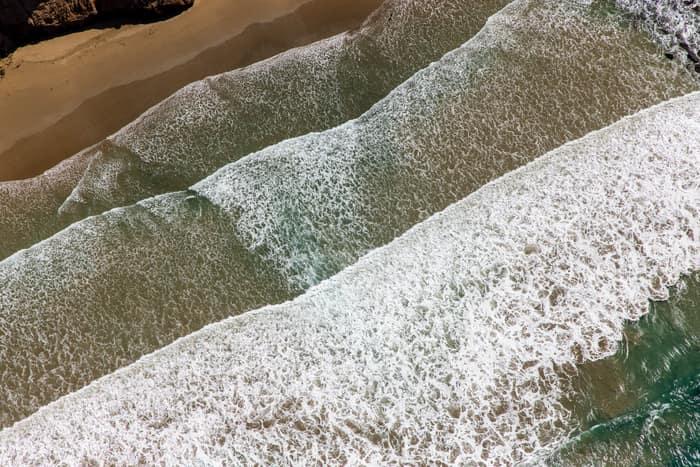
Surf breaking on sandy beach, Anglesea VIC
Anglesea VIC 3230
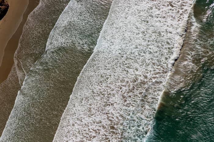
Surf breaking on coastline, Anglesea VIC
Anglesea VIC 3230

Anglesea coastline and residential area, Anglesea VIC
Anglesea VIC 3230

Painkalac Creek estuary, Aireys Inlet VIC
Fairhaven VIC 3231

Woodland lake and coastline, Moggs Creek VIC
Moggs Creek VIC 3231
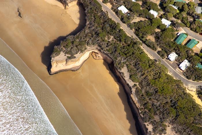
Surf Coast beach and eroded cliffs, Anglesea VIC
Anglesea VIC 3230

Anglesea River mouth and Anglesea Beach, Anglesea VIC
Anglesea VIC 3230

Bells Beach coastline, Bells Beach VIC
Bells Beach VIC 3228

Anglesea coastline and residential streets, Anglesea VIC
Anglesea VIC 3230

Anglesea coastline and residential estates, Anglesea VIC
Anglesea VIC 3230
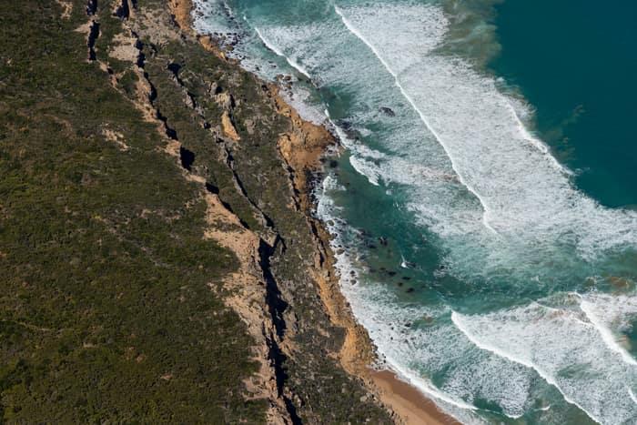
Port Campbell National Park coastline with beach and surf, Princetown VIC
Princetown VIC 3269

Anglesea ocean cliffs and Bass Strait, Anglesea VIC
Anglesea VIC 3230

Anglesea River mouth and beach, Anglesea VIC
Anglesea VIC 3230

Fairhaven Beach coastline, Fairhaven VIC
Fairhaven VIC 3231
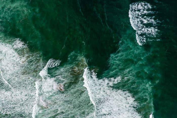
Southern Ocean surf, Princetown VIC
Princetown VIC 3269
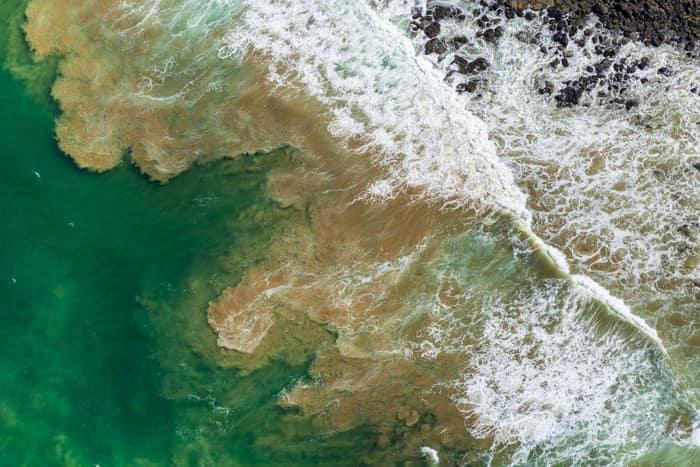
Rock platform and surf, Breamlea VIC
Connewarre VIC 3227

Painkalac Creek and Split Point Lighthouse, Aireys Inlet VIC
Fairhaven VIC 3231
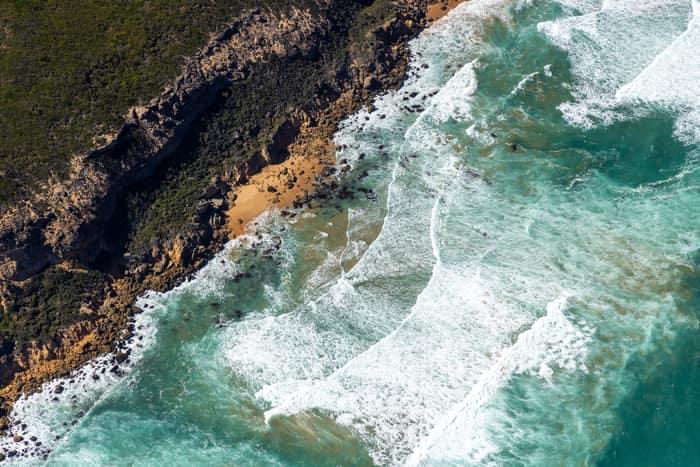
Port Campbell National Park coastline with rocky coves, Princetown VIC
Princetown VIC 3269
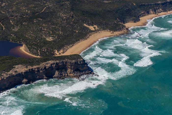
Princetown coastline and estuary, Princetown VIC
Princetown VIC 3269

Borrowed Particles Bass Strait shoreline, Inverloch VIC
Inverloch VIC 3996

Anglesea Water Reclamation Plant, Anglesea VIC
Anglesea VIC 3230
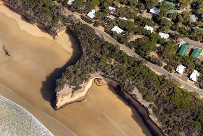
Point Roadknight cliffs and beach, Anglesea VIC
Anglesea VIC 3230

Split Point Lighthouse and Eagle Rock above coastal beach, Aireys Inlet VIC
Aireys Inlet VIC 3231

Anglesea cliffs and Bass Strait coastline, Anglesea VIC
Anglesea VIC 3230

Torquay coastline and residential estates, Torquay VIC
Torquay VIC 3228
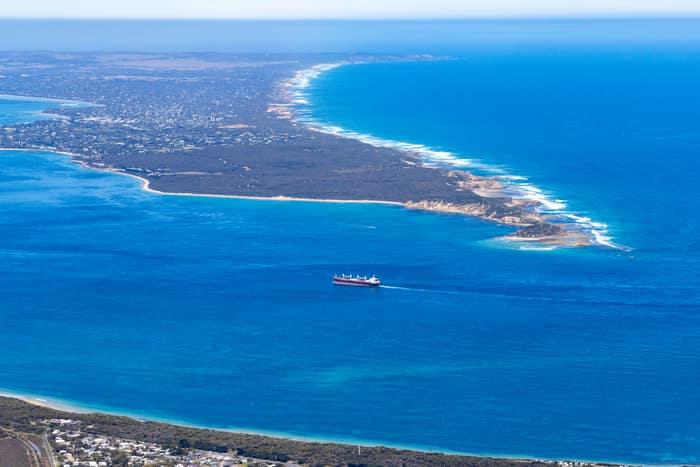
Port Phillip Heads and Point Nepean, Point Lonsdale VIC
Point Lonsdale VIC 3225
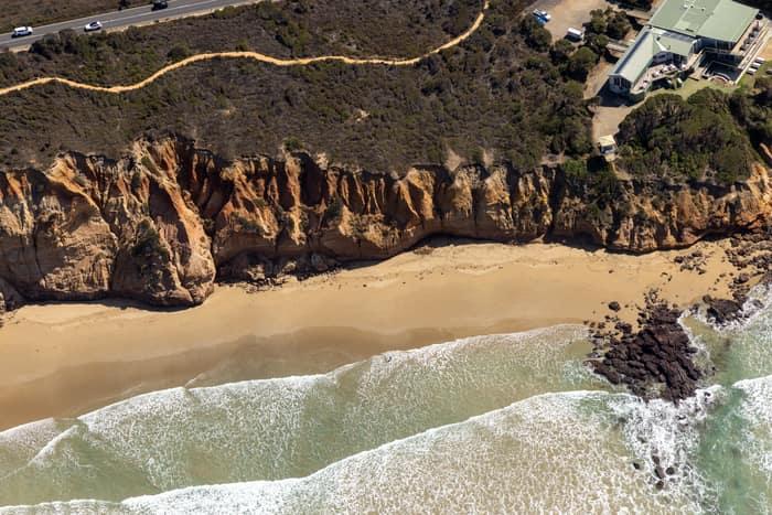
Demons Bluff Beach cliffs, Anglesea VIC
Anglesea VIC 3230
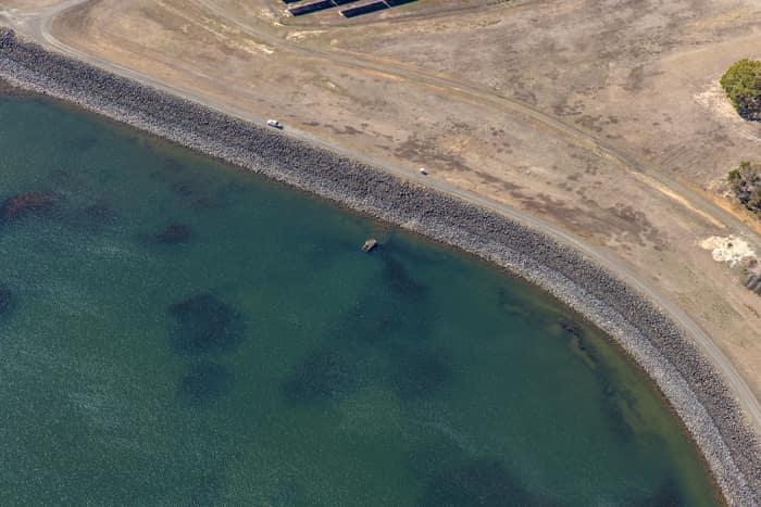
Wurdee Boluc Reservoir shoreline, Wurdiboluc VIC
Wurdiboluc VIC 3241
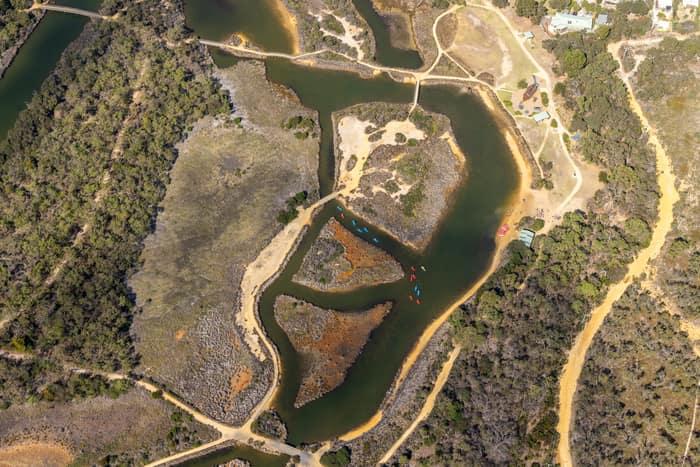
Coogoorah Park and Anglesea River with tidal channels, Anglesea VIC
Anglesea VIC 3230

Split Point Lighthouse and Eagle Rock near Painkalac Creek, Aireys Inlet VIC
Aireys Inlet VIC 3231

Fishermans Beach and The Esplanade, Torquay VIC
Torquay VIC 3228
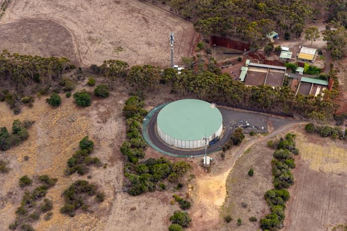
Mount Duneed water storage tank, Mount Duneed VIC
Mount Duneed VIC 3217
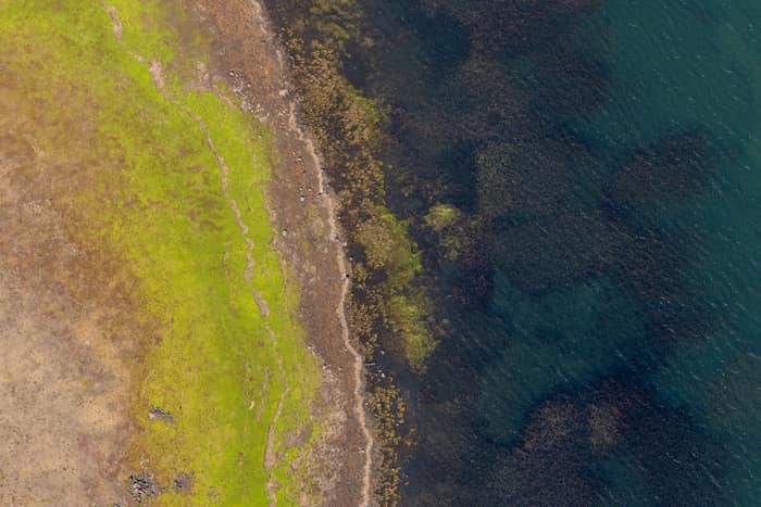
Lake Modewarre shoreline with grassy foreshore, Modewarre VIC
Wurdiboluc VIC 3241
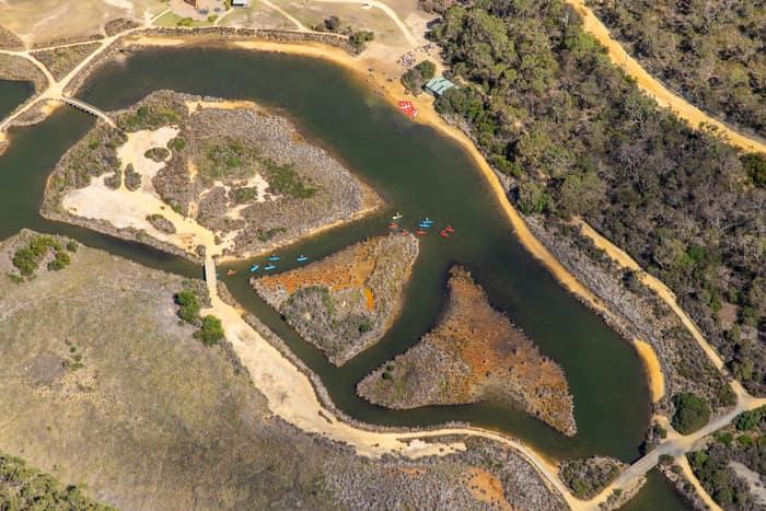
Coogoorah Park and Anglesea River with kayakers, Anglesea VIC
Anglesea VIC 3230
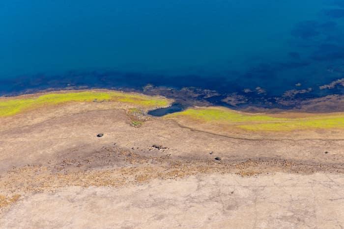
Lake Modewarre shoreline with exposed shoreline, Modewarre VIC
Wurdiboluc VIC 3241