Aerial Now

High-resolution aerial photography for construction progress, infrastructure projects and development documentation across Melbourne and Victoria.

Copyright Aerial Now. Images may not be copied, downloaded or reproduced without a licence.

Archive

Browse archiveProjectsLocationsMapLicensing

Aerial Now

Main websiteBook a shootRequest licenceClient portalPrivacy policy
Aerial Now
Client PortalBook a shoot
BrowseProjectsLocationsMapLicensingClient Portal
AERIAL NOW / Archive

Browse Aerial Photography

Construction, infrastructure and development aerial photography across Melbourne and Victoria.

4 images
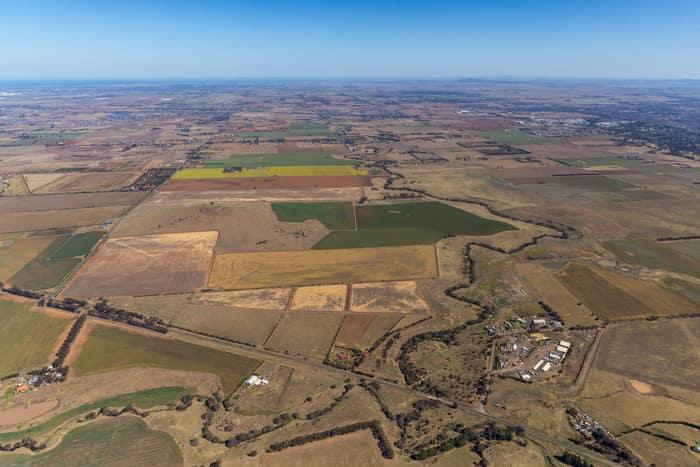
Aerial view of farmland and paddocks around Mount Cottrell Road in Melton, Victoria, with rural properties, access roads and dry agricultural land stretching to the horizon.
Mount Cottrell Road farmland, Melton VIC
Melton VIC 3337
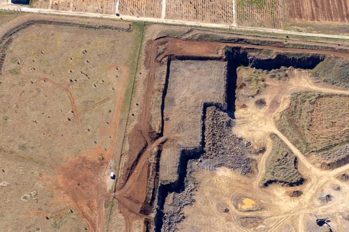
Aerial view of a quarry excavation beside rural paddocks and farm tracks near Mount Cottrell Road in Melton, Victoria.
Quarry excavation and paddocks, Melton VIC
Melton VIC 3337
Aerial view of a soccer field with goalposts, player groups and a surrounding red athletics track near Astor Place in Melton West, Victoria.
Astor Place soccer field and athletics track, Melton West VIC
Melton West VIC 3337
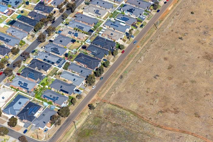
Aerial view of a Brookfield residential estate with solar-panelled houses beside a road and adjoining vacant dry grassland in Victoria.
Brookfield residential estate and vacant land, Brookfield VIC
Brookfield VIC 3338