
AERIAL NOW / Archive
Browse Aerial Photography
Construction, infrastructure and development aerial photography across Melbourne and Victoria.
13 images
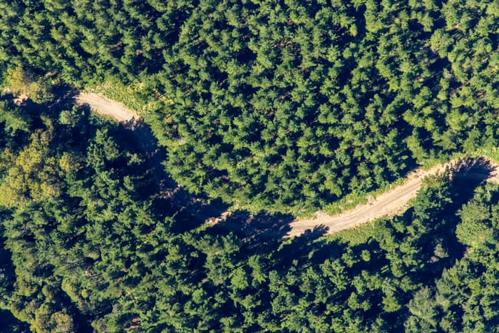
Forest track, Otway Ranges VIC
Beech Forest VIC 3237
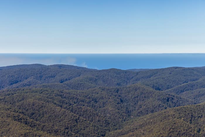
Great Otway National Park forest ranges, near Lorne VIC
Barwon Downs VIC 3243
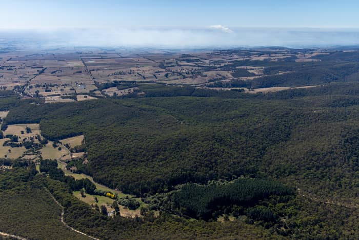
Otway forest and farmland, Forrest VIC
Barwon Downs VIC 3243
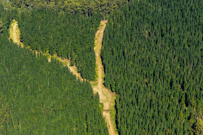
Pine plantation firebreak, Otway Ranges VIC
Beech Forest VIC 3237
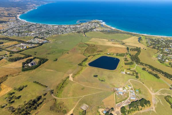
Apollo Bay township and harbour, Apollo Bay VIC
Apollo Bay VIC 3233
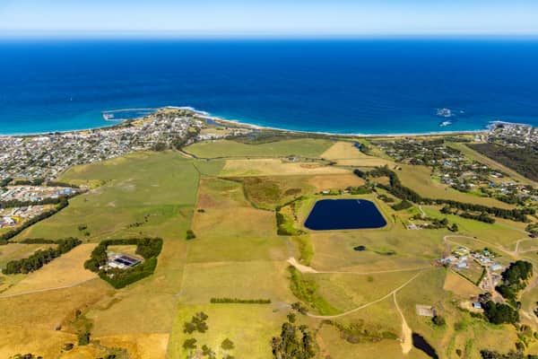
Apollo Bay coastline and farmland, Apollo Bay VIC
Apollo Bay VIC 3233
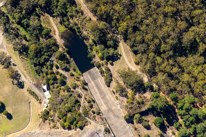
West Barwon Reservoir inlet and bushland, Forrest VIC
Forrest VIC 3236
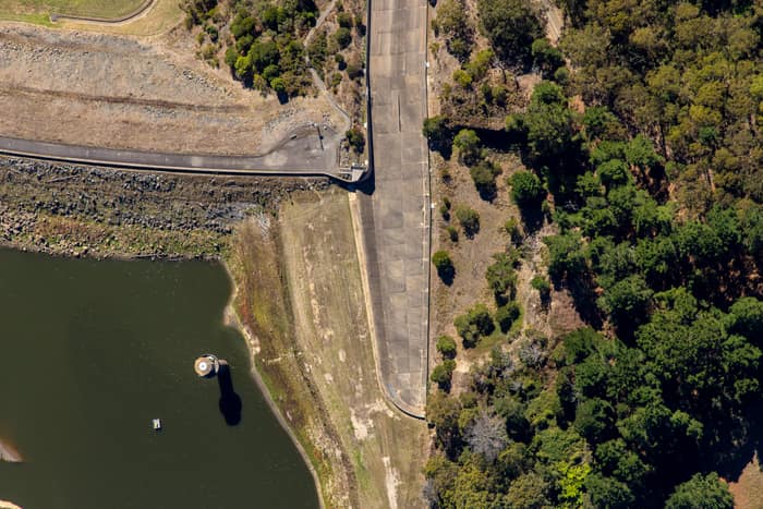
West Barwon Reservoir dam wall, Forrest VIC
Forrest VIC 3236
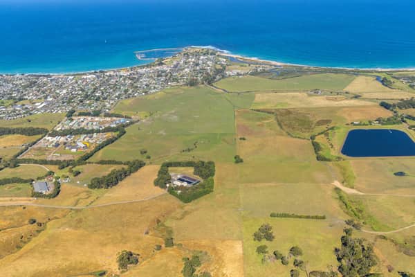
Apollo Bay township and coastline, Apollo Bay VIC
Apollo Bay VIC 3233
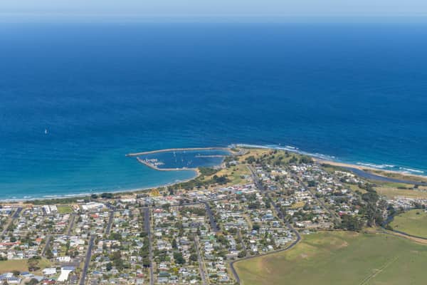
Apollo Bay Harbour, Apollo Bay VIC
Apollo Bay VIC 3233
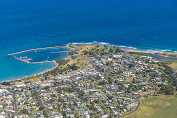
Apollo Bay Harbour and township with marina berths, Apollo Bay VIC
Apollo Bay VIC 3233
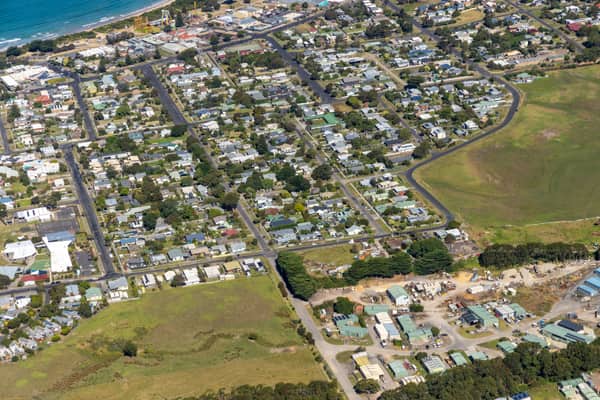
Apollo Bay Beach and residential streets, Apollo Bay VIC
Apollo Bay VIC 3233
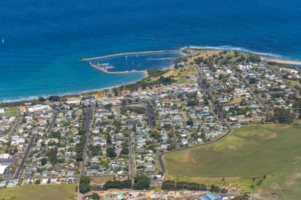
Apollo Bay Harbour and township with curved beach, Apollo Bay VIC
Apollo Bay VIC 3233