Aerial Now

High-resolution aerial photography for construction progress, infrastructure projects and development documentation across Melbourne and Victoria.

Copyright Aerial Now. Images may not be copied, downloaded or reproduced without a licence.

Archive

Browse archiveProjectsLocationsMapLicensing

Aerial Now

Main websiteBook a shootRequest licenceClient portalPrivacy policy
Aerial Now
Client PortalBook a shoot
BrowseProjectsLocationsMapLicensingClient Portal
AERIAL NOW / Archive

Browse Aerial Photography

Construction, infrastructure and development aerial photography across Melbourne and Victoria.

20 images
Aerial view of Anglesea cliffs beside Bass Strait, with turquoise water, breaking waves, coastal scrub, walking tracks and nearby houses in Anglesea VIC.
Anglesea cliffs and Bass Strait coastline, Anglesea VIC
Anglesea VIC 3230
Aerial view of Anglesea coastal cliffs above Bass Strait, with surf breaking along the shore, clifftop walking tracks and scrubland on Victoria's Surf Coast.
Anglesea coastal cliffs and Bass Strait, Anglesea VIC
Anglesea VIC 3230
Aerial view of the Anglesea ocean cliffs beside Bass Strait, with turquoise surf, wave lines, coastal heathland and sandy walking tracks in Anglesea Victoria.
Anglesea ocean cliffs and Bass Strait, Anglesea VIC
Anglesea VIC 3230
Aerial view of the Torquay coastline with residential neighbourhoods, dry farmland and the blue waters of Bass Strait in Surf Coast Victoria.
Torquay coastline and farmland, Torquay VIC
Torquay VIC 3228
Aerial view of Anglesea Water Reclamation Plant with treatment ponds and utility buildings set among coastal vegetation near the Bass Strait shoreline in Anglesea, Victoria.
Anglesea Water Reclamation Plant, Anglesea VIC
Anglesea VIC 3230
Aerial view of the Anglesea coastline in Victoria with blue ocean, coastal heathland, walking tracks and residential streets near Simmons Court.
Anglesea coastline and residential streets, Anglesea VIC
Anglesea VIC 3230
Aerial view of the Anglesea coastline with residential estates, coastal bushland, access tracks and blue ocean water in Anglesea, Victoria.
Anglesea coastline and residential estates, Anglesea VIC
Anglesea VIC 3230
Aerial view of Bells Beach coastline in Bells Beach VIC, showing surf rolling onto the beach below coastal cliffs under a cloudy golden hour sky.
Bells Beach coastline, Bells Beach VIC
Bells Beach VIC 3228
Aerial view of Apollo Bay township and coastline in Victoria, with farmland, rural properties, a farm dam, beaches and blue ocean around the harbour.
Apollo Bay township and coastline, Apollo Bay VIC
Apollo Bay VIC 3233
Aerial view of Torquay VIC showing the coastline, ocean, residential estates, farmland and green creek corridor.
Torquay coastline and residential estates, Torquay VIC
Torquay VIC 3228
Aerial view of Fairhaven Beach in Fairhaven VIC, showing the surf coastline, residential streets, coastal bushland and blue ocean along the Great Ocean Road region.
Fairhaven Beach coastline, Fairhaven VIC
Fairhaven VIC 3231
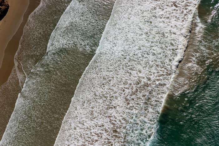
Aerial view of white surf lines breaking over a sandy shoreline near Anglesea on the Victorian coast.
Surf breaking on coastline, Anglesea VIC
Anglesea VIC 3230
Aerial view of Apollo Bay Harbour, the marina breakwaters, residential streets and coastline at Apollo Bay on Victoria's Great Ocean Road.
Apollo Bay Harbour and township with marina berths, Apollo Bay VIC
Apollo Bay VIC 3233
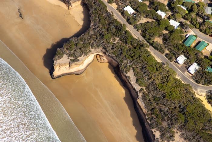
Aerial view of a sandy beach, eroded coastal cliffs, bushland and nearby houses along the Anglesea coastline in Victoria.
Surf Coast beach and eroded cliffs, Anglesea VIC
Anglesea VIC 3230
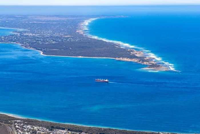
Aerial view of Port Phillip Heads and Point Nepean from Point Lonsdale, with a cargo ship crossing blue water between the coastline and surf beaches.
Port Phillip Heads and Point Nepean, Point Lonsdale VIC
Point Lonsdale VIC 3225
Aerial view of Split Point Lighthouse and Eagle Rock on the Aireys Inlet coastline, with coastal homes, roads, beach and blue ocean surrounding the headland.
Split Point Lighthouse and Eagle Rock above coastal beach, Aireys Inlet VIC
Aireys Inlet VIC 3231
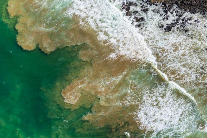
Aerial view of waves breaking over a shallow rocky reef and green coastal water at Breamlea, Victoria.
Rock platform and surf, Breamlea VIC
Connewarre VIC 3227
Aerial view of the Anglesea River mouth, Anglesea Beach, coastal township, ocean shoreline and surrounding streets in Anglesea, Victoria.
Anglesea River mouth and beach, Anglesea VIC
Anglesea VIC 3230
Aerial view of Split Point Lighthouse and Eagle Rock at Aireys Inlet, showing coastal homes, turquoise ocean, beaches and the nearby creek estuary.
Split Point Lighthouse and Eagle Rock near Painkalac Creek, Aireys Inlet VIC
Aireys Inlet VIC 3231
Aerial view of Apollo Bay Harbour, the coastal township, beaches, residential streets and farmland beside the Southern Ocean in Apollo Bay, Victoria.
Apollo Bay Harbour and township, Apollo Bay VIC
Apollo Bay VIC 3233