Aerial Now

High-resolution aerial photography for construction progress, infrastructure projects and development documentation across Melbourne and Victoria.

Copyright Aerial Now. Images may not be copied, downloaded or reproduced without a licence.

Archive

Browse archiveProjectsLocationsMapLicensing

Aerial Now

Main websiteBook a shootRequest licenceClient portalPrivacy policy
Aerial Now
Book a shoot
BrowseProjectsLocationsMapLicensingClient Portal
AERIAL NOW / Archive

Browse Aerial Photography

Construction, infrastructure and development aerial photography across Melbourne and Victoria.

5 images
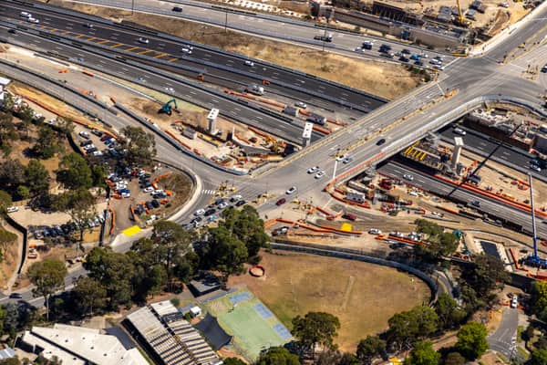
Aerial view of Bulleen Road crossing the Eastern Freeway in Balwyn North, with active road construction, traffic lanes, work zones, parked vehicles and surrounding trees.
Bulleen Road and Eastern Freeway works, Balwyn North VIC
Balwyn North VIC 3104
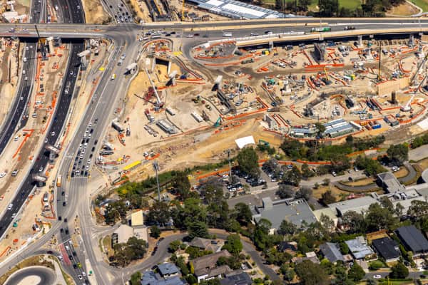
Aerial view of North East Link construction works in Bulleen, showing major road lanes, traffic, work zones, cranes and nearby residential streets.
North East Link construction with road traffic and cranes, Bulleen VIC
Bulleen VIC 3105
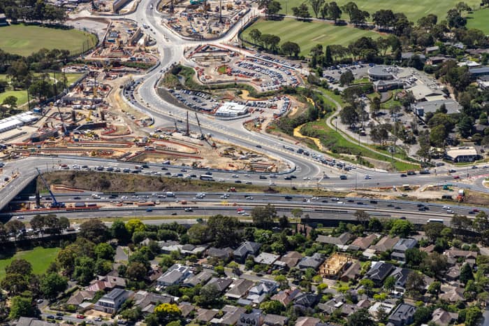
Aerial view of Eastern Freeway and Bulleen Road interchange construction in Balwyn North, with traffic, work zones, sports fields and residential streets around the site.
Eastern Freeway interchange construction, Balwyn North VIC
Balwyn North VIC 3104
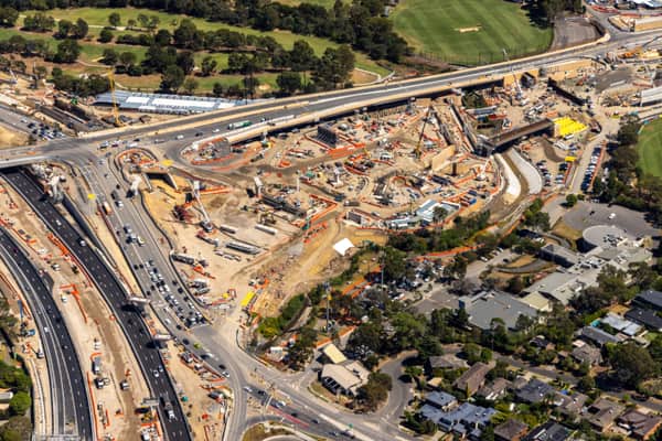
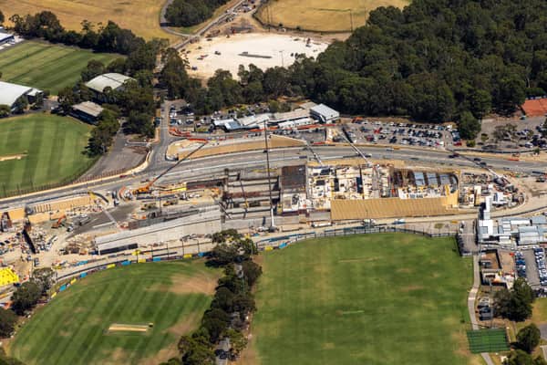
Aerial view of North East Link construction works in Bulleen VIC, with roadworks, site buildings, car parking and adjoining sports fields.
North East Link construction beside sports fields and parkland, Bulleen VIC
Bulleen VIC 3105
Aerial view of North East Link construction works beside the Eastern Freeway in Balwyn North, with traffic, roadworks, residential streets and sports fields visible.
North East Link construction, Balwyn North VIC
Balwyn North VIC 3104